word and way

One of the interesting aspects of Melbourne is its many laneways. You just don’t know what you will find when you walk down one. One I stumbled upon whilst exploring Chinatown and Little Burke Street was Heffernan Lane.This runs between Lonsdale and Little Bourke Sts between Swanston and Russell Sts, which is to say, between Greek street and Chinese street.

I walked past the “Commit No Nuisance” signs, on past the Kum Den Bar and Restaurant and Wing Cheong Food Service, then glimpsed what appeared to be a council No Parking sign:

Evangelos Sakaris, Untitled, Heffernan Lane

Heffernan Lane was the site of artist Evangelos Sakaris’s untitled installation for the City of Melbourne’s Laneway Commissions 2001-2002. Sakaris’s work involved the instalment along the lane of contemporary street signs bearing excerpts of ancient Greek and Chinese texts, to highlight the connections between these cultures.
Melbourne’s rooftops

I’ve always found it hard to get under the surface of Melbourne when I’m there photographing. I’m more like a tourist exploring the alleyways, the street art, the beach huts along the Mornington Peninsula, or the shop windows–along with everybody else. I was getting nowhere.

Melbourne is being redeveloped at high speed–as if there is no tomorrow. This time I was more focused—I wanted to explore the old and new architecture before the old 19th century disappeared. It just didn’t happen on the first couple of days because I was on the street when I needed to be up higher.

from Curtin House

However, Andrew Wurster kindly took me on a photowalk on Wednesday afternoon in and around Little Burke Street and Chinatown on Wednesday afternoon. Andrew runs the fascinating Urban Photo Mag group on Flickr, and he has an intimate photographic knowledge of Melbourne’s CBD.

We decided to check out the urban views from the various rooftops of the old carparks before going on to Curtin House to have a drink at the rooftop bar in the late afternoon light.

Ballarat

I enjoyed my couple of days in Ballarat. It is a very compact city and it is easy to get around on foot. I managed to do some photo walks early in the morning and late in the afternoon on both the Saturday and Sunday.

I found it to be a very visual city, a treat for large format architectural style work.

railway shed, Ballarat

Of course, I had no large format equipment with me–I was travelling light with three handheld cameras. Many of the images that were taken were little sketches to show the possibilities.

preparing for Melbourne

As I am due to return to Ballarat and Melbourne at the end of this week, I’ve come down to Victor Harbor for break to allow the poodles to get into hunting mode and to look at the street style and architectural photos that I took when I was there couple of weeks ago.

I don’t have that many images on the computer’s hard disc, as I only took a few, and most of the ones that I did take were quickly eliminated. That is digital photography: edit, edit, edit.

Lydiard St Nth Ballarat

After spending the weekend in Ballarat for the International Foto Biennale I will stay in Melbourne for several days to take photos in the central business district. I plan to concentrate on skyline photos, as most of the photos that I took through the train windows didn’t really work.

Aldinga Cliffs: erosion

Whilst driving back to Adelaide from Victor Harbor yesterday I decided to stop off at the Star of Greece in Port Willunga, walk along the Aldinga beach with the poodles and take some photos of the cliffs east of the remains of the old jetty.

I was returning to an area that I’d started to explore last year with big views of the coast using the Linhof Technika 5×4.

Aldinga Cliffs

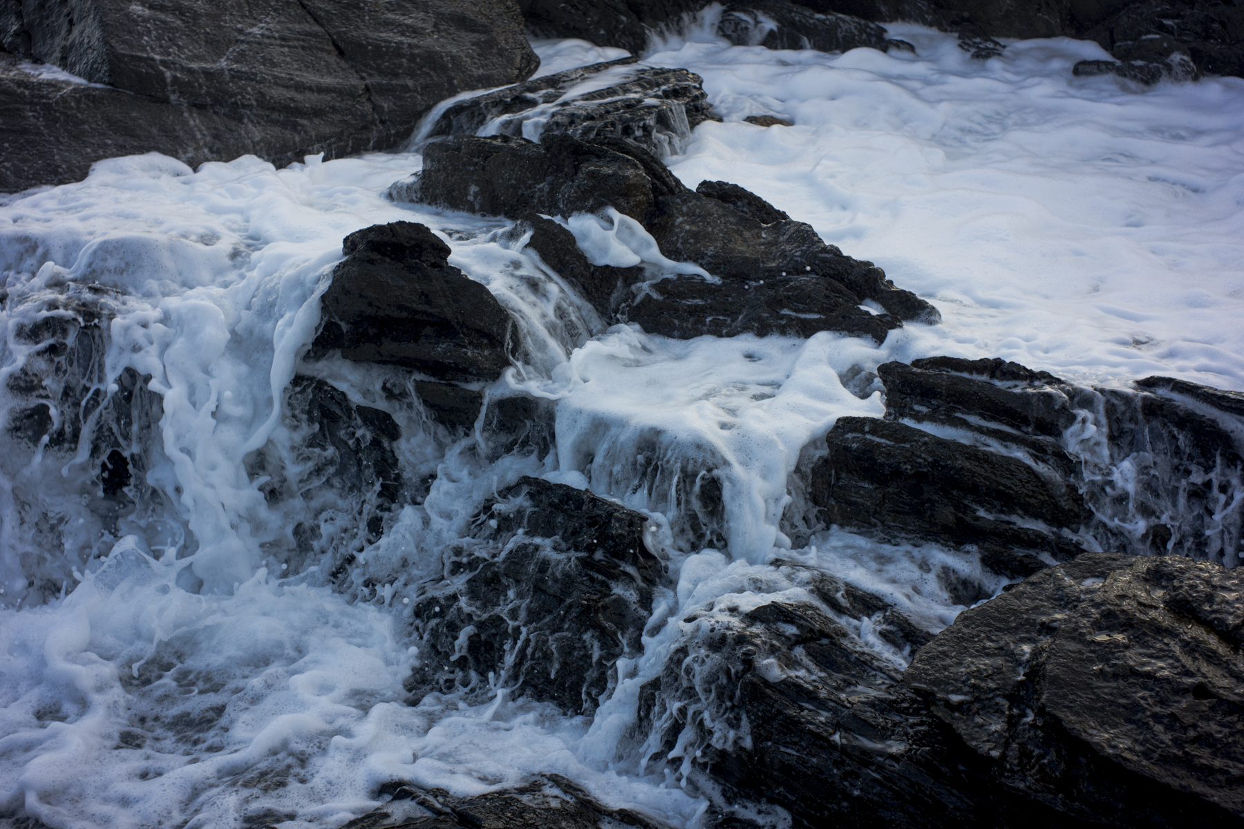
This time I was looking at the base of the limestone cliffs to represent the erosion–the eroding cliff base caused by the wave action from the high tides and storm surges. This erosion will continue due to the rising sea levels caused by climate change.

topographics

It has been raining all day in Adelaide and I haven’t been outside to do photography. Apart from visiting skin specialists and walking the dogs late this afternoon I have been inside the Sturt St office blogging on the US debt crisis and going through my Andamooka archives for light relief.

Andamooka

I am beginning to think that the photos in the archive are good enough could become a modest project in themselves. A project in Australian topographics. An aesthetic of the banal or the mundane for the philosophically minded.

Eyre Peninsula

This image is from the archives that I have just scanned into the Mac Pro desktop computer.It was taken around 2002 on a trip to Venus Bay, which is on the west coast of Eyre Peninsula in South Australia. Agtet must have been 3-4 months old as he still had his puppy coat.

Yanerbie

I can remember the shutter on the newly acquired Rolleiflex SL66 jamming up on the very first shot–I was photographing plants on the shadow side of the sand dunes— and then having to rely on the ever reliable Rolleiflex TLR.

The Coorong: being humbled

I have spent the last day or so scanning some old medium format negatives that I’d taken with my old Linhof medium format camera–Technika 70. The results have been disappointing.

The 6×9 camera back wasn’t working properly, the colours are all over the place, some of the images are underexposed and out of focus, and Silver Efex Pro will not work on them for some reason.

near Salt Creek

It’s all rather humbling. The mostly landscape pictures of the Coorong and the River Murray’s wetlands looked quite okay on the contact sheets, but unlike the work at Andamooka that was done with a Rolleiflex TLR, they have failed to live up to their promise.

Andamooka

The picture below is from the archives. It was taken on a trip that Suzanne and I did to Andamooka circa 2001. Agtet was just a pup then and Ari had yet to join the family. We stayed in the shanty mining town for a few days at a friends place. It was a very dusty and hot place from memory.

I used to wander around the area with a Rolleiflex 3.5F TLR in the early morning and in the late afternoon light. Then I’d explore the shanty town with the old Leica during the day. These were the days way before I owned a digital camera, or even knew about them.

Andamooka

The negatives (the 6×6 and 35m) plus the contact sheets have sat in a brief case beside the desk all this time. Now that I have acquired an Epson V700 scanner I can finally do something with them.

South Bruny National Park

The last two days of the Tasmanian trip were taken up with Suzanne’s desire to do some walks in the South Bruny National Park. This is just off the coast of southern Tasmania and is separated from the Tasmanian mainland by the D’Entrecasteaux Channel.

giant kelp

Suzanne had agreed to go to the Gordon Dam in the SouthWest National Park if I went to Bruny Island. I knew very little about the island, other than it was once a centre for extensive whale hunting in the19th century, so I was happy to tag along.

We stayed in cabins in the Adventure Bay Caravan park. The Fluted Cape walk was on the agenda in the morning, and the Labillardiere Peninsula Circuit in the afternoon. We managed the former not the latter.