in Melbourne: Mornington

When we were in Melbourne, Victoria for several days to check out a new standard silver poodle to replace Kayla we stayed at Mornington close to the local racecourse. We didn’t have time on this trip to walk the Balcombe Estuary Nature Trail from the Nepean Highway to Mt Martha Beach. That walk, which was photographed by Joyce Evans around 2003, is planned for our next trip to Melbourne in early February, when we pick up the standard poodle puppy from Cranbourne.

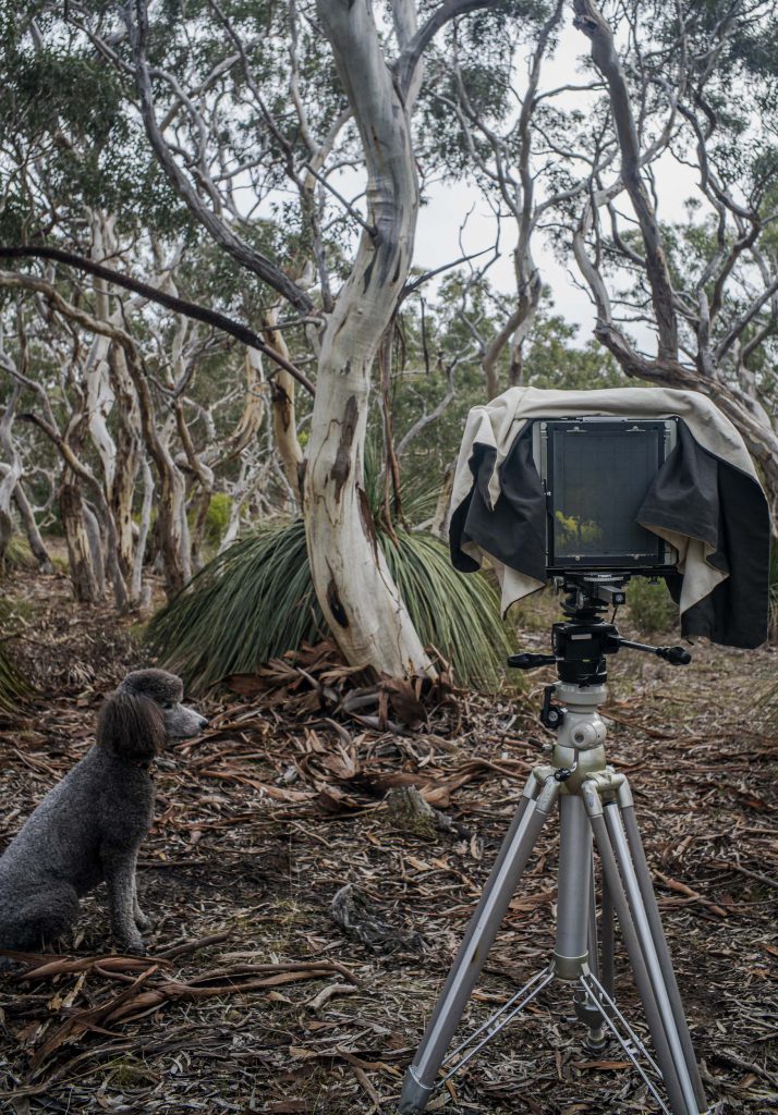
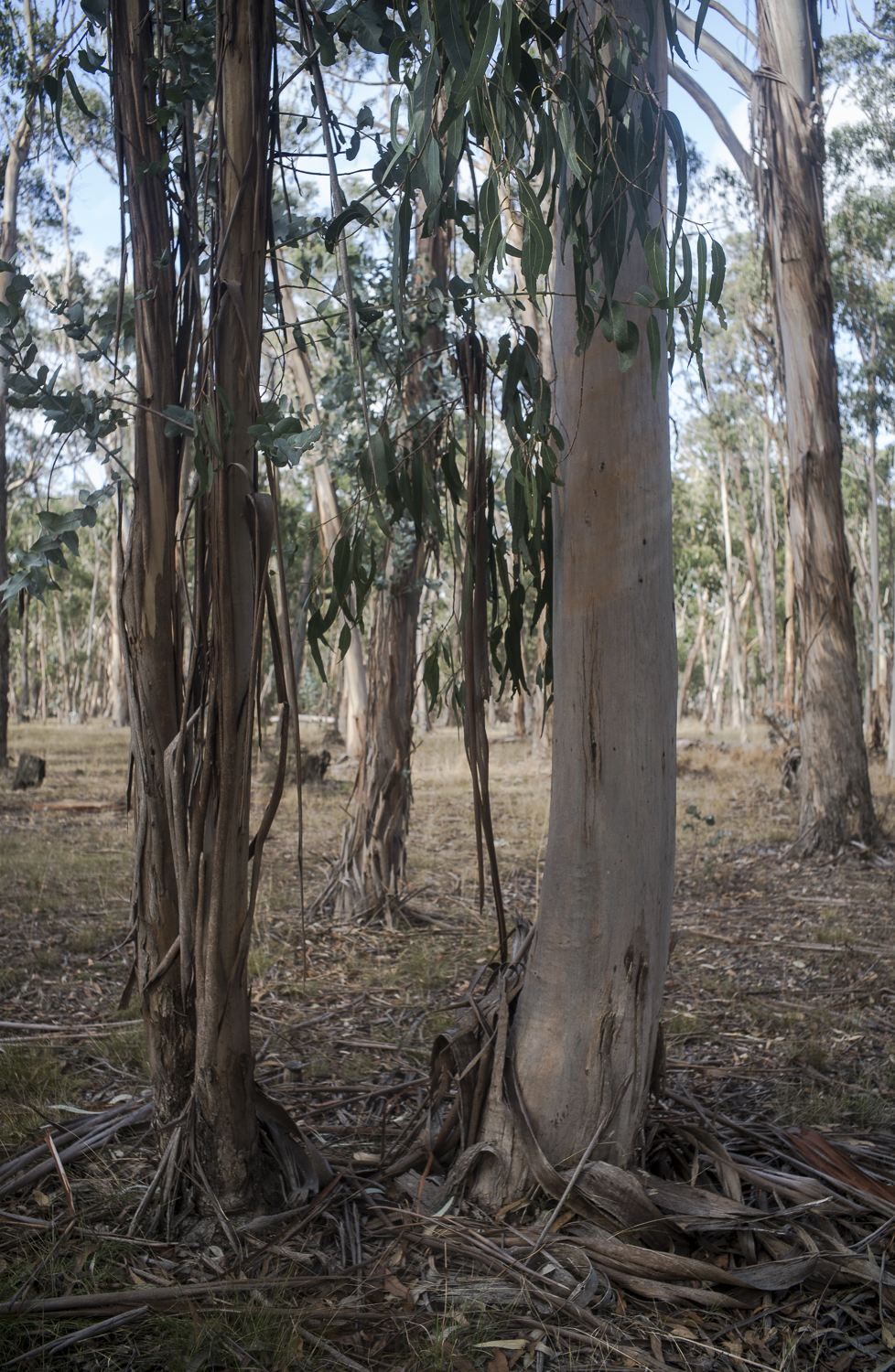
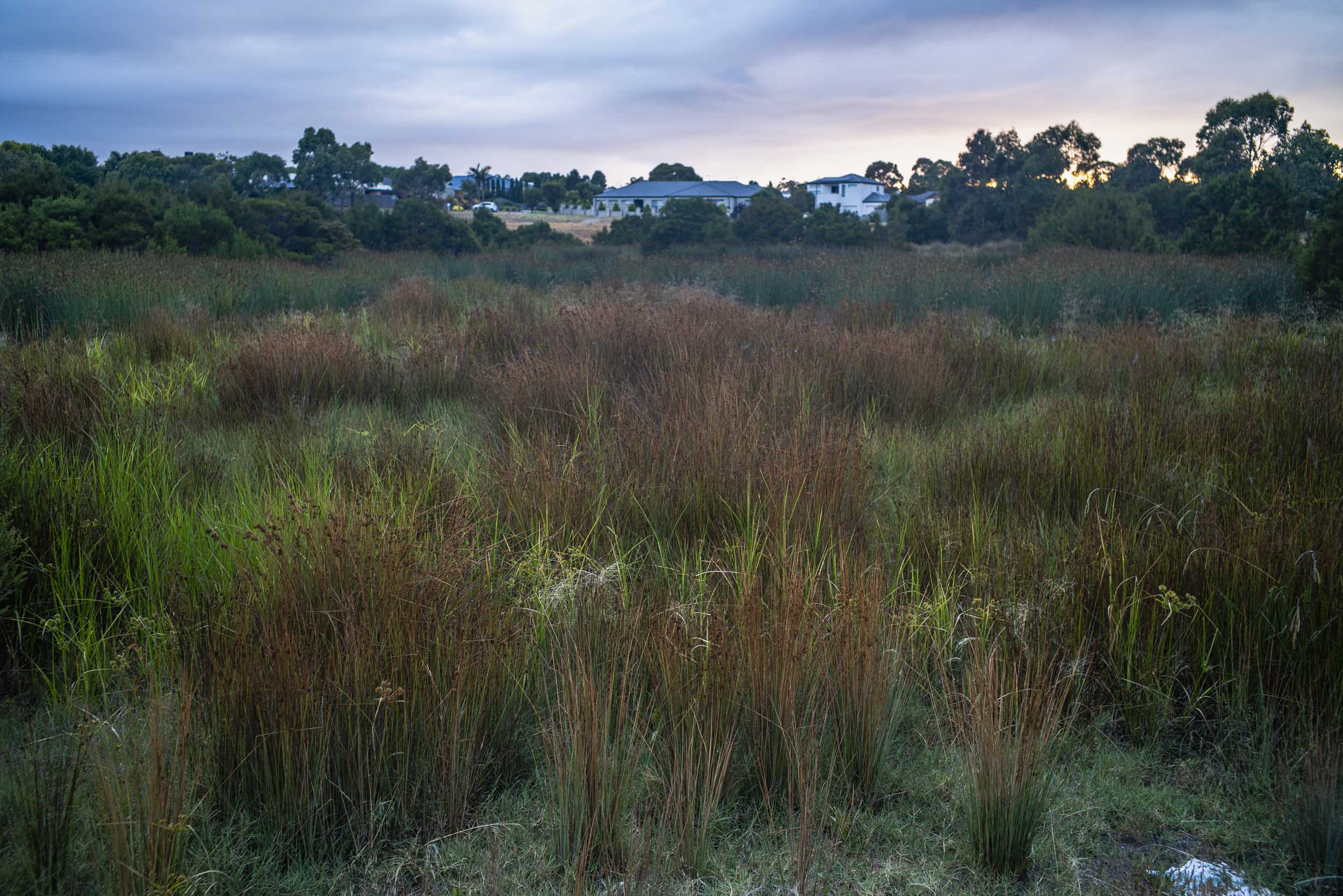
Whilst in Mornington we were able to go for several early morning poodlewalks with Maleko to, and around, a local wetland at Narambi Station Reserve. We avoided the adjacent Narambi sportsfield even though it was popular with the local dogwalkers.

Narambi Station Reserve

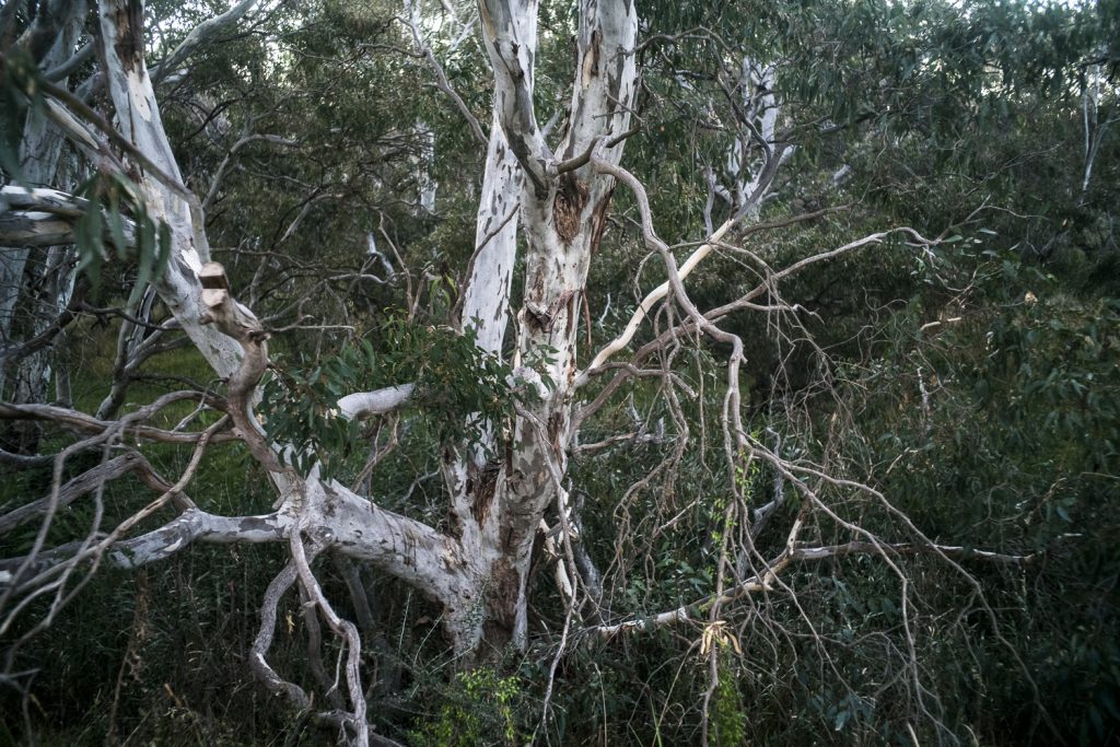
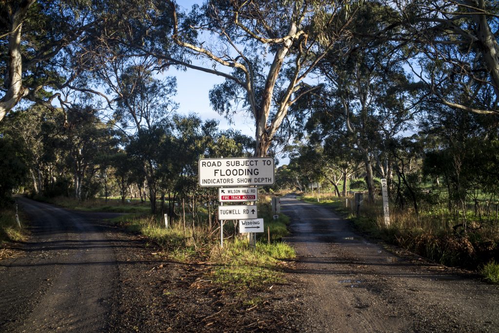
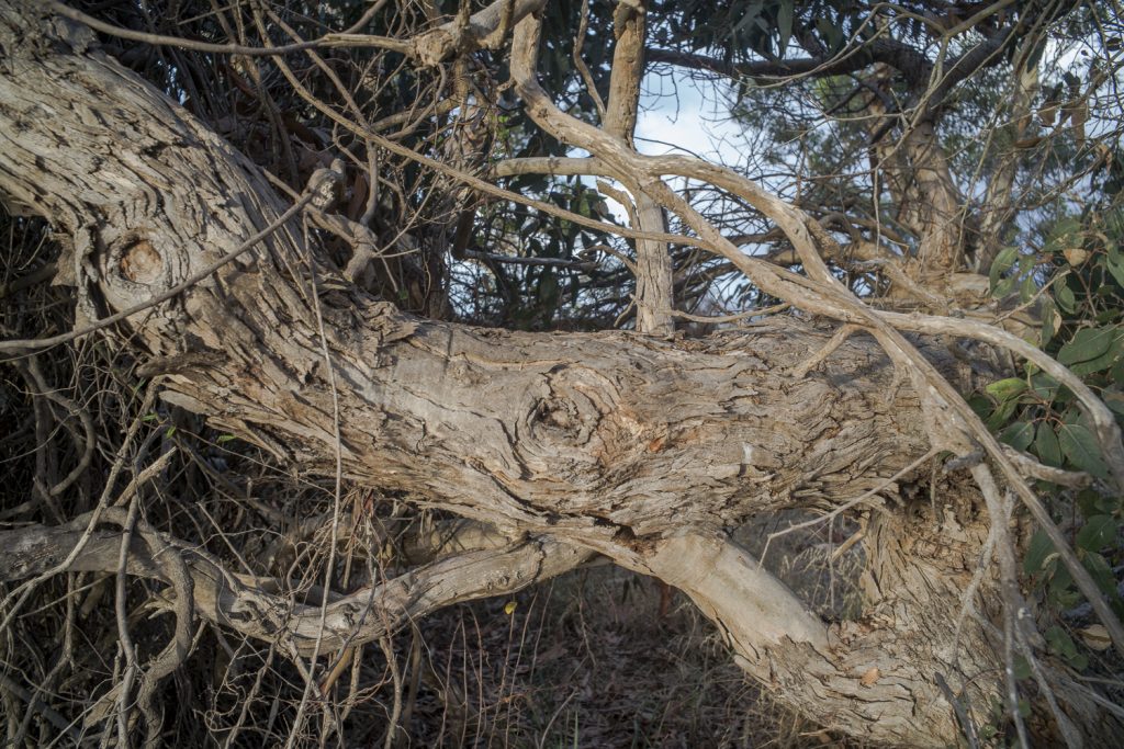
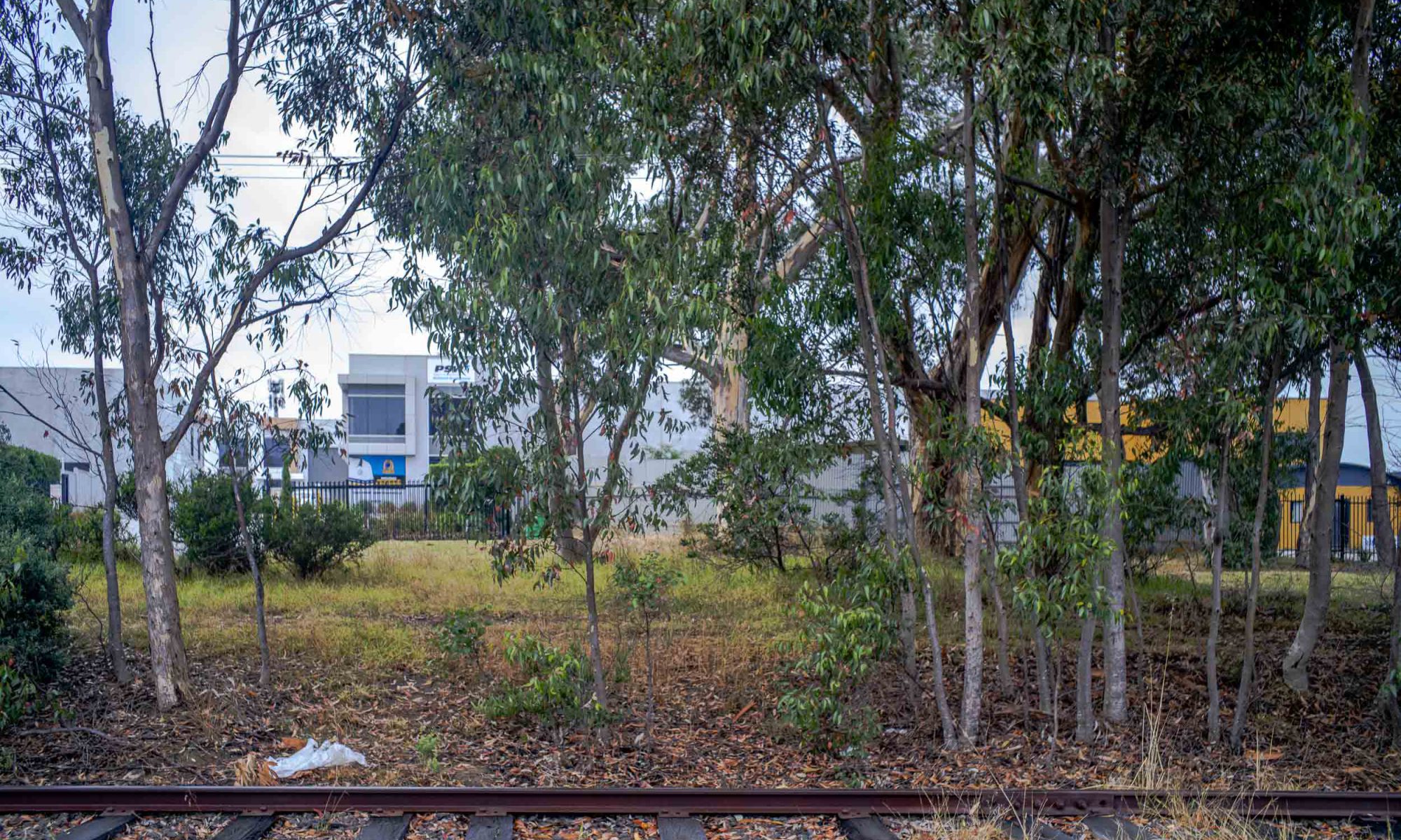
On a couple of those mornings we started to explore the nearby Tanti Creek and the heritage Mornington Railway line down to the Mornington Station. We eventually found a way to walk though this raw and rough area to the station at the end of the line.

an 8 x 10 poodlewalk

A recent afternoon poodlewalk in the local Waitpinga bushland in the southern Fleurieu Peninsula incorporated an 8×10 photo session. This session was a response to a disappointing one in the Spring Mount Conservation Park the previous day. Then I never even took the 8×10 out of the Forester. I had been hoping for misty conditions when I was driving there, only to encounter light rain when I was walking around.

Maleko + 8×10 Cambo, Waitpinga

It is more accurate to say that on the Waitpinga poodlewalk the photo session was first and the poodlewalk with Maleko came afterwards. I carried the camera equipment to the site, made the photo, returned the equipment to the Forester, then Maleko and I went on a walk through the bushland.

photographing: large format

We are at the mid-February point of summer and the weather has been more of the same: cool and overcast with just the odd hot day with a north easterly wind. The hot weather started this week but it is forecasted to last for only several days this week — not the normal two weeks. Maybe that will come in March.

I have stepped up the training programme for the camel trek by walking Rosetta Head twice a week and climbing up steeper approach and been working on a website for the Bowden Archives and Other Marginalia. I have also taken advantage of the cooler weather to photograph roadside vegetation in the early morning with the 5×7 Cambo monorail. I have been inspired by Mark Darragh’s large format photos on Flickr.

Cambo5x7 monorail
am, Baum Rd, Waitpinga,

At the moment I ‘m running my film stock down before I make the major annual purchase through B+H in New York. I have only half a box of the 5×7 Kodak Portra 160 ASA left.

It’s been a matter of selecting the location, knowing the time the light shines on the trees, setting the camera up, then waiting for the light to shine through the trees at the required time. Often the moving cloud cover means that there is no sunlight. So the large format equipment is packed away in the Forester and I continue the poodlewalk with Kayla.

bush + coast

The afternoon walks through the local bush will soon be coming to an end as we came across a brown snake the other afternoon whilst we were walking along Depledge Rd in Waitpinga. I was surprised to see it on the side of the road because it was still late winter, and the day temperatures up to that date had not been that warm.

From now on the poodlewalks in the bush or scrub will need to be in early morning as its too cold for snakes. Kayla and I usually start walking around sunrise and I am looking out for the early morning light. It is changing.

Baum Rd, Waitpinga

The late afternoon walks with Maleko will, by and large, be along the coastal rocks between Petrel Cove and Kings Beach. We have to walk part of the way along the Heritage Trail to reach the rocks. As we have seen the odd brown snake along this path in the past, I keep an eye out.

November: am

During the first two weeks in November the coast of the southern Fleurieu Peninsula has been buffeted by strong westerly winds. Only the odd days here and there have been without the wind. It is only in this third week of November that I have returned to walking along the beach around the mouth of the Inman River in the early morning or amongst the rocks west of Petrel Cove in the late afternoon.

Kayla, Esplanade Beach, Victor Harbor

It is usually quiet on the Esplanade Beach early in the morning. There are not very many people walking along this beach—just the odd local person walking their dog. So Kayla and I have the beach pretty much to ourselves.

Inman River walks

During the autumn of 2018 I made a number of afternoon poodlewalks with Maleko and Kayla along a couple of the walking trails by the Inman River. One of these trails was a walk around the small redgum loop trail by the river near Armstrong ( Ring Route ) Rd. I did this several times, including a few in the morning, before the trail became flooded. On the odd occasion on the redgum woodland loop walk I photographed with a film camera.

Another walk we sometimes did was the linear one along the floodplain on the eastern side of the river amongst that is populated by kangaroos. We would start from the old SA Water waste treatment plant on Canton Place and then make our way along the redgums on the floodplain to where the river passed the Victor Harbor cemetery. We would then slowly make our way back to the Forester in Canton Place as dusk started to fall:

Inman River floodplain

I meant to return to the floodplain area during the winter of 2018 when the river was flowing with a film camera and tripod, but I never did. I only ever scoped the floodplain as I found the floodplain difficult to photograph: just trees, a dry river bed, and leaves on the ground.

a cold snap

Temperatures have dropped with winters cold snap since I have returned to Encounter Bay from the brief Murray Mallee photo trip to Claypans and beyond. It is now quite chilly in the morning and in the early evening. Though the days are still, there is little warmth in the sun due to the cloud cover.

I have started to walk the back country roads through the various agricultural landscapes on the early morning poodlewalks with Kayla:

Tugwell + Wilson Hill Rds

Surprisingly, I am encountering people who are running and walking along these back roads before sunrise. They, like me, are out walking and running around 6.30 am, which is roughly an hour before sunrise.

returning to the Heysen Trail

In the last week or so I have returned to walking along the Waitpinga section of the Heysen Trail in the morning with Kayla and in the afternoon with Maleko. This section of the Heysen Trail is a narrow strip of scrub or bush that runs between two roads, and it is bounded by two grazing paddocks (cattle and sheep). The narrow strip is a corridor that is quite dense in parts.

The mornings and afternoons have been overcast with minimal wind, and this has allowed me to do some black and white film photography of tree subjects that I had photographed in colour a couple of years ago. I started the scoping here.

Whilst walking to and from the photo sites on both the morning and the afternoon poodlewalks I made some exploratory/scoping studies of different subject matter in the scrub/bush for some future film photography. This is an example:

branch, Heysen Trail

I would have walked past this branch on the edge of the path of the Heysen Trail many times without ever having seen it. I only saw it this time because Kayla went exploring in the undergrowth behind the branch. I quickly made a snap and moved on.

at Kuitpo Forest Reserve

We usually visit the  Kuitpo Forest Reserve for the afternoon  poodlewalk when we are on our return journey  to Encounter Bay after  the poodles have spent the day at  the  Mt Barker dog groomers. These  occasions are once every six weeks–poodles are high maintenance— and we when we are walking in the forest we routinely avoid walking in  the pinus radiata  plantation areas .

We prefer   to  wander  within the small sparse areas of eucalyptus in the forest reserve:

Kuitpo Forest

All goes smoothly on the walk, if we  avoid the campers, the campsite foreplaces   and the various kangaroos in this part of Kuitpo Forest.

I usually walk around with a digital camera. The light in the forest after  4pm during the winter is often too low  to be able to use  hand held film cameras:

Kuitpo Forest

And during summer months  the light at 4pm is very bright and contrasty. The gates are closed around 4pm during the fire season  to prevent any camping.

So winter is the time for photography Kuitpo Forest Reserve as the sun in the late afternoon is low enough to gently lighten up the trees.


holidaying in Melbourne

Well,  the Mornington Peninsula in Melbourne, Victoria  sure was crowded with people holidaying when we stayed  there on our roadtrip.   Karen,  my sister at Safety Beach   put us up, and as that stay coincided with  a hot spell, that meant  both limited documentary photography in Melbourne    and  walking very early in the morning and late in the afternoon.

The foreshore  along the eastern  coast of Port Phillip Bay from Dromana to Sorrento was jam packed with   caravans,  tents, boats and people.   The Nepean Highway from  Rye to Portsea was crammed  with cars,  due  to people travelling down from Melbourne to Sorrento or Portsea  for a day’s outing. The Mornington Peninsula is Melbourne’s playground.

Martha Point, Mornington Peninsula

We found  very few places where  we could walk the poodles off lead along the coast.   There was  a small  off-lead, dog friendly   beach at Tassells  Cove and a small walking track around Martha Point that went down to  Pebble Beach.  Continue reading “holidaying in Melbourne”