in a vacuum

I’m back in Adelaide. I wandered through the parklands with the poodles late yesterday afternoon wondering where my photography would go next. I played around with some low light light with the (film) Leica –poetic moments and all that—having a look without taking anything but I wasn’t really enthused.

tree trunk

I was at a loss. Where do I go from here? I felt hesitant. All the large format gear had been left down at Victor Harbor. How was I going to use the 8×10 in the city? You cannot wander the streets looking for the moment with that kind of gear.

I thought that I would start by picking up on the waste project that had been pushed into the background.
before the rain

I managed to take some 5×7 photographs this morning at Petrel Cove, Victor Harbor, before the rain came in. Just as I was finishing with the two types of landscapes mentioned in the earlier post it started to rain.

before the rain

It hasn’t stopped raining since. It looks to be settled in for the day. I hope not as the conditions are very still and I’d planned an afternoon shoot of this landscape.

the sea

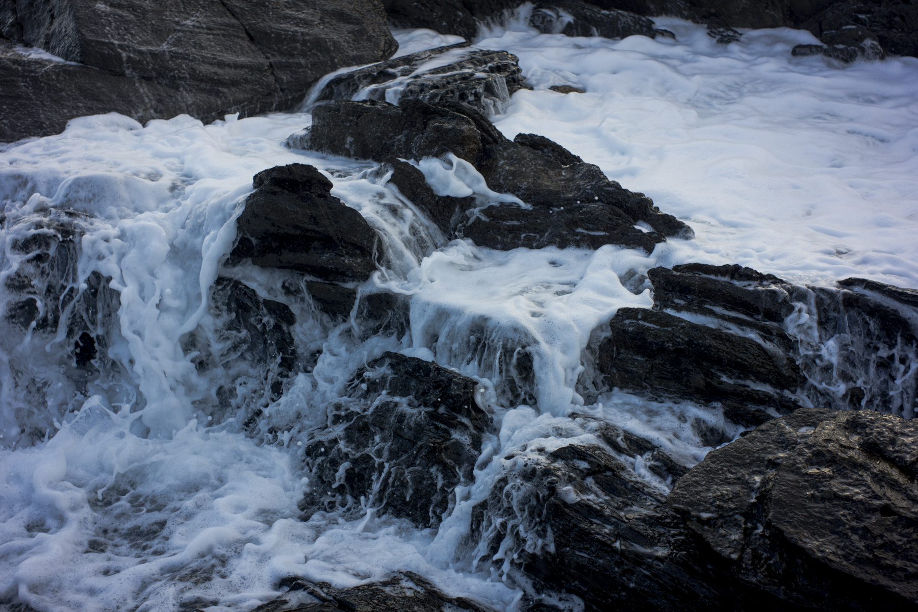
Whilst I’ve been down at Victor Harbor this week I have been experimenting with seascapes on the poodlewalks. I want to take photographs of the sea with a large format camera (5×7 Cambo) and to do so in a way that is minimalist, colourist and is from a location that has easy access.

So I have been taking shots whilst on the coast cliff top walks with the poodles:

sea

My starting point was this image done about a year ago. I wanted to go more minimalist.Most of the photograph sketches I’ve down are not all that successful. The above picture is probably the best of them and it is probably where I will start.

rubbish dump

One of the places in Victor Harbor that we often visit on our poodle walks is the local rubbish dump. It is situated within a ravine that cuts it way to the sea and borders the beginning of the Heysen Trail in the southern Fleurieu Peninsula. It offers some photographic possibilities.

tires, rubbish dump

Suzanne walked the Heysen Trail from Kings Beach to Waitpinga Beach this morning. We all walked to the eastern edge of the Newland Head Conservation Park, then the poodles and myself turned back whilst Suzanne walked on. I picked her up at Waitpinga Beach a couple of hours latter.

South Bruny National Park

The last two days of the Tasmanian trip were taken up with Suzanne’s desire to do some walks in the South Bruny National Park. This is just off the coast of southern Tasmania and is separated from the Tasmanian mainland by the D’Entrecasteaux Channel.

giant kelp

Suzanne had agreed to go to the Gordon Dam in the SouthWest National Park if I went to Bruny Island. I knew very little about the island, other than it was once a centre for extensive whale hunting in the19th century, so I was happy to tag along.

We stayed in cabins in the Adventure Bay Caravan park. The Fluted Cape walk was on the agenda in the morning, and the Labillardiere Peninsula Circuit in the afternoon. We managed the former not the latter.

Blue Tier + myrtle beech rain forest

The Blue Tiers is in the north east of Tasmania and we passed through it on our way to St.Helens.

The early settlers mined tin in much of the George River catchment area between about 1880 and 1930. The clearfelling of native forests by Forestry Tasmania continues supported by the forestry union, the CFMEU and the Tasmanian government, which provides every incentive to destroy the old growth forest.

Within it is a remnant of an ancient Myrtle Beech (Nothofagus cunninghamii) temperate rain forest:

root of Myrtle beech

This was in an area of regenerated rain forest full of ferns and mosses.

Lake Pedder + Gordon Dam

One of the reasons for going into the Southwest National Park was to see the Gordon Dam and its effects on the ecology of the region.

Gordon Dam

Clearly the dam is the iconic symbol of modernity in Tasmania. A celebration of engineering and hydro power. But keeping the lights on in Strahan comes at a terrible cost—the flooding of Lake Pedder and the damming of the Serpentine and Huon Rivers to ensure high water levels of Lake Pedder so that there can be a continual flow of water from Pedder into Lake Gordon via the McPartlans Pass Canal to drive the power station’s turbines.

The Great Lake

One of the areas that I’d wanted to visit in Tasmania was the barren and often bleak landscape around the western edge of the Great Lake in the Central Highlands region. I’d seen it briefly on a previous trip last year and thought that it looked interesting.

near the Great Lake

The highway, which runs along the western side of the Great Lake, is sparsely populated with groups of fisherman shacks. I could only explore this architecture briefly as a rain storm was sweeping in from the west. There was no chance of using the 5×4.

exploring the rain forest

On the way from Queenstown to Quamby Estate to pick up Suzanne after she’d finished walking the Overland Track in the Cradle Mountain-Lake St Clair National Park I stopped off to explore The Franklin – Gordon Wild Rivers National Park for a couple of hours.

fungi+ tree trunk

I wandered around the man made track with my digital camera looking for an image or two that I could take with my film cameras. The rain forest is so messy and the light is so contrasty that I just concentrate on the little details in the open shade in order to be able to handle what consistently defeats me.

industrial ruins

I leave Queenstown early tomorrow morning to pick up Suzanne from her Cradle Mountain walk at Quamby Estate near Launceston. These mining ruins are from the slag heap site at Zeehan.

industrial ruins, Zeehan

The site is rich both in terms of the ruins of the Tasmanian Smelter Co and the landscape. It is a site that I will have to return to. My time in Queenstown was too short.