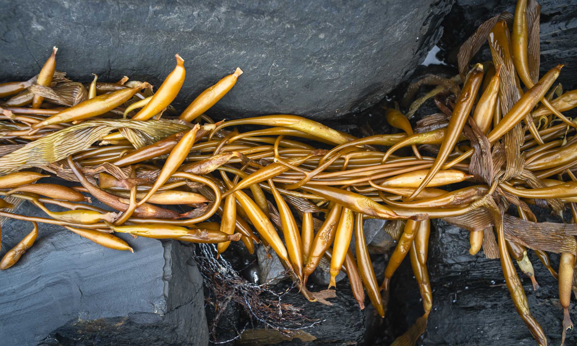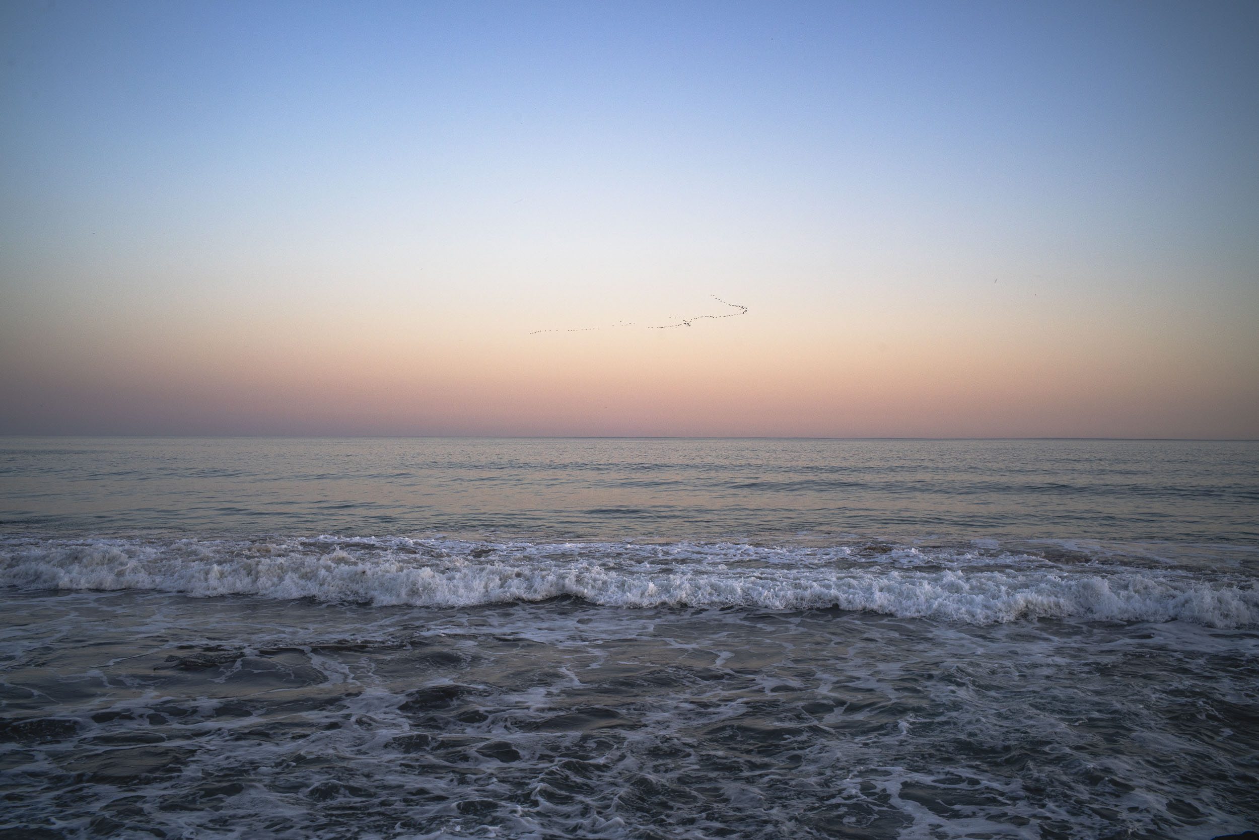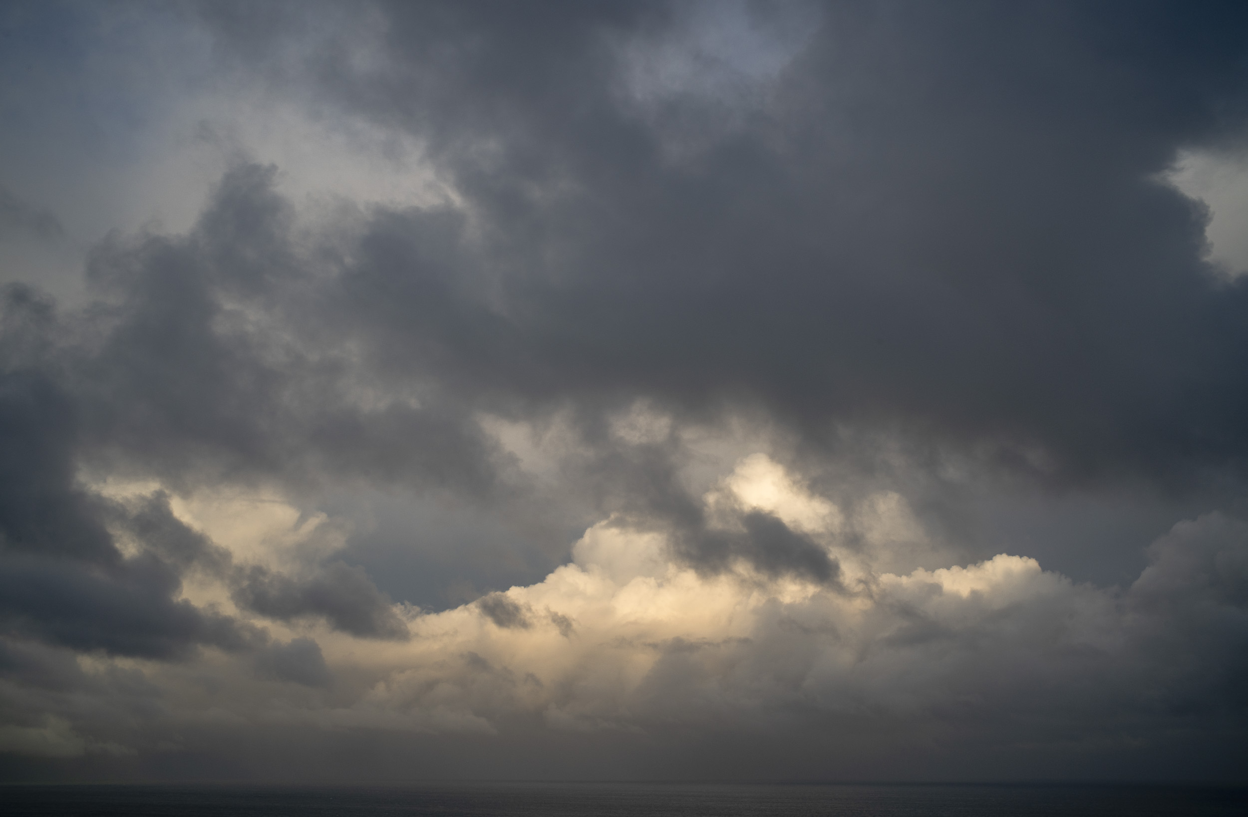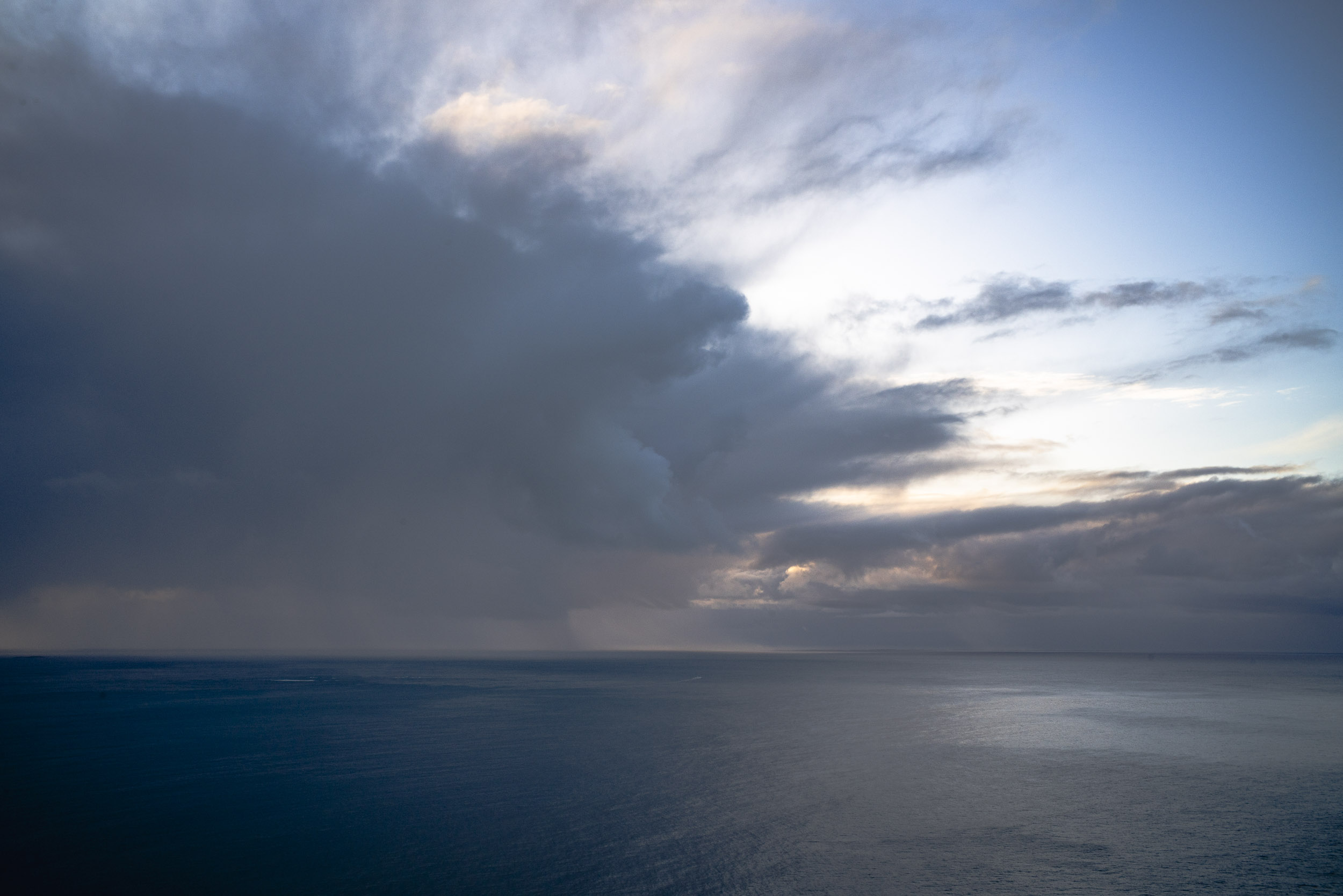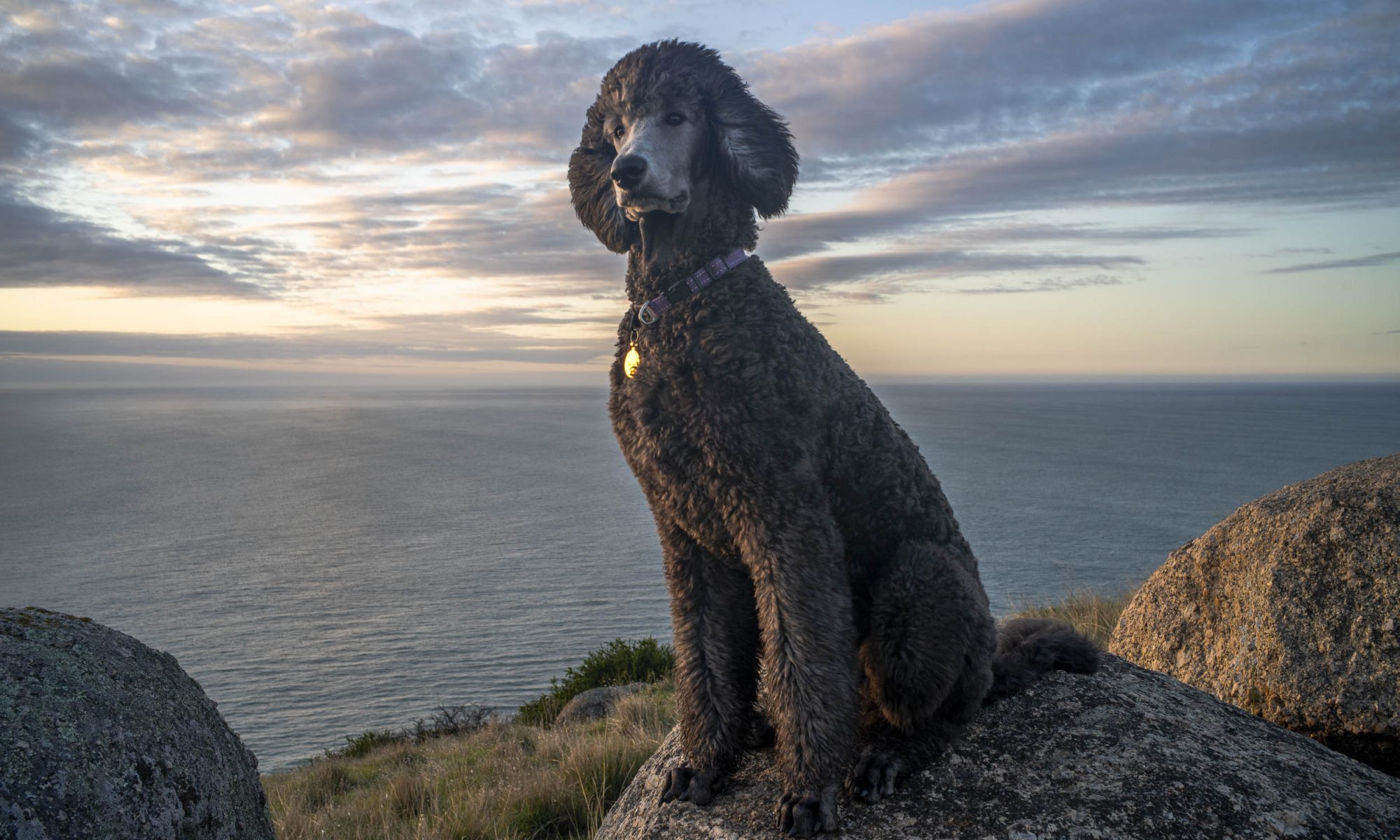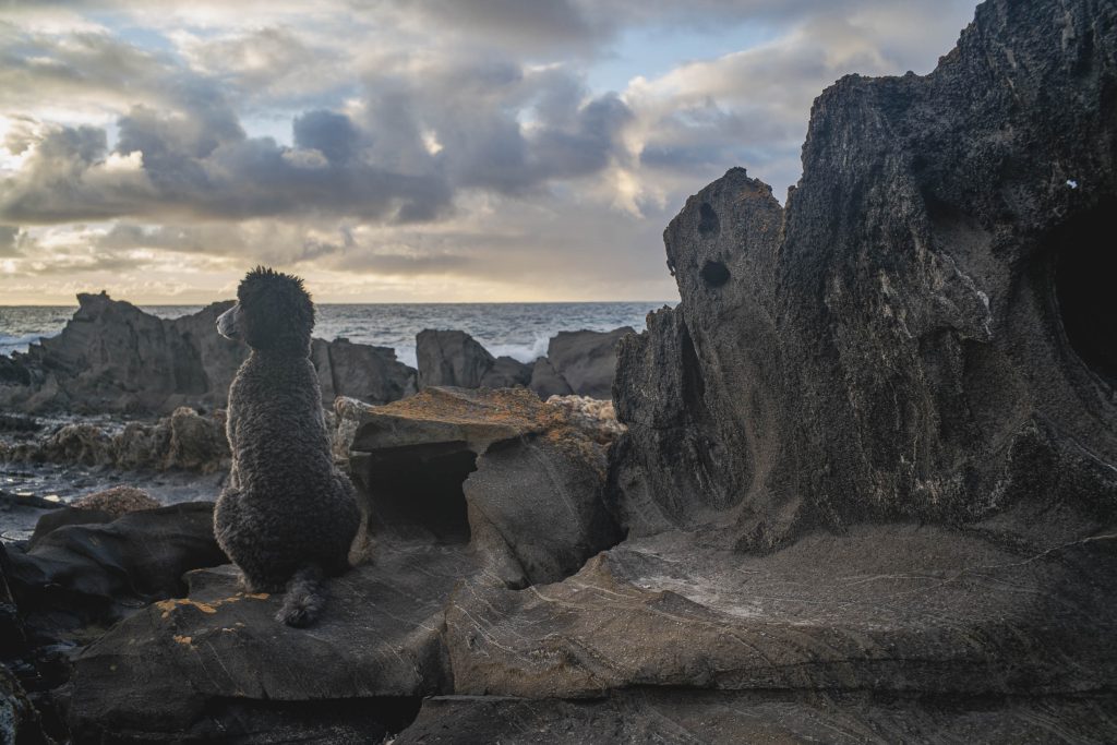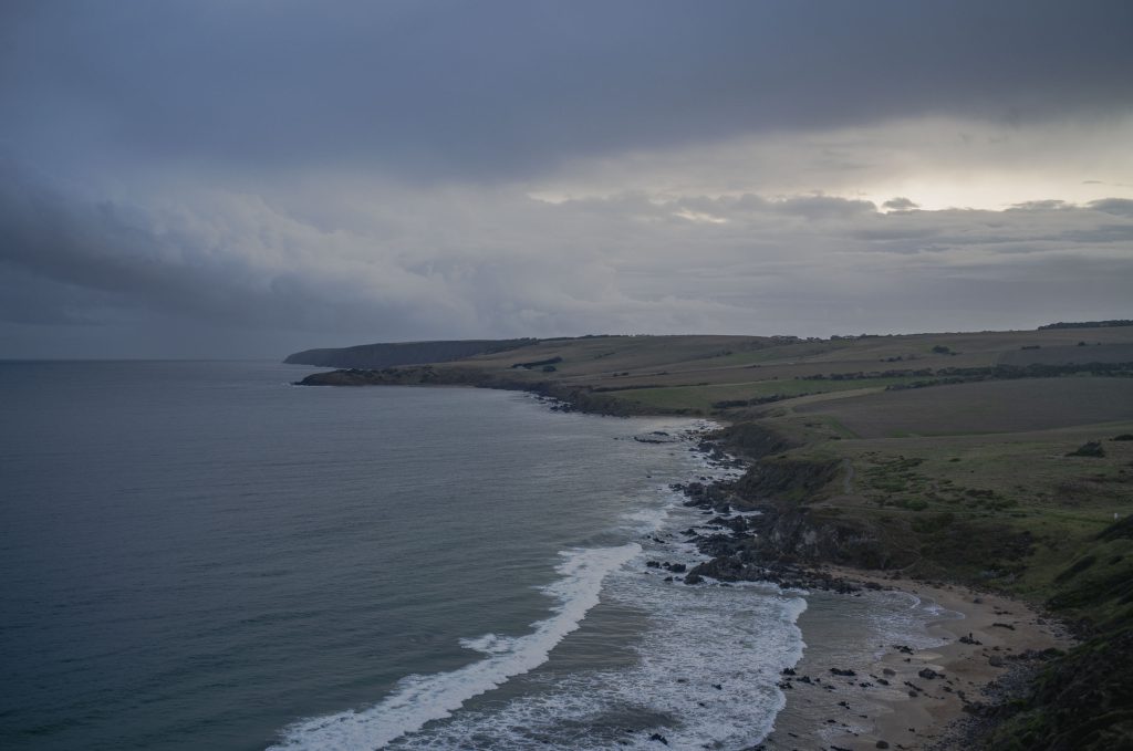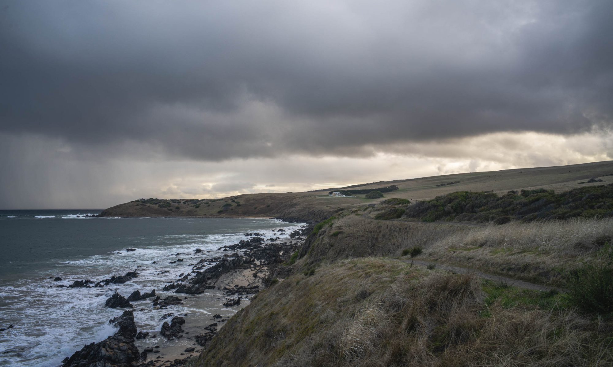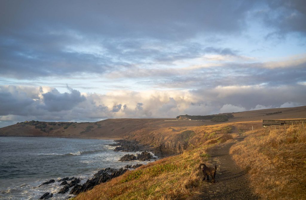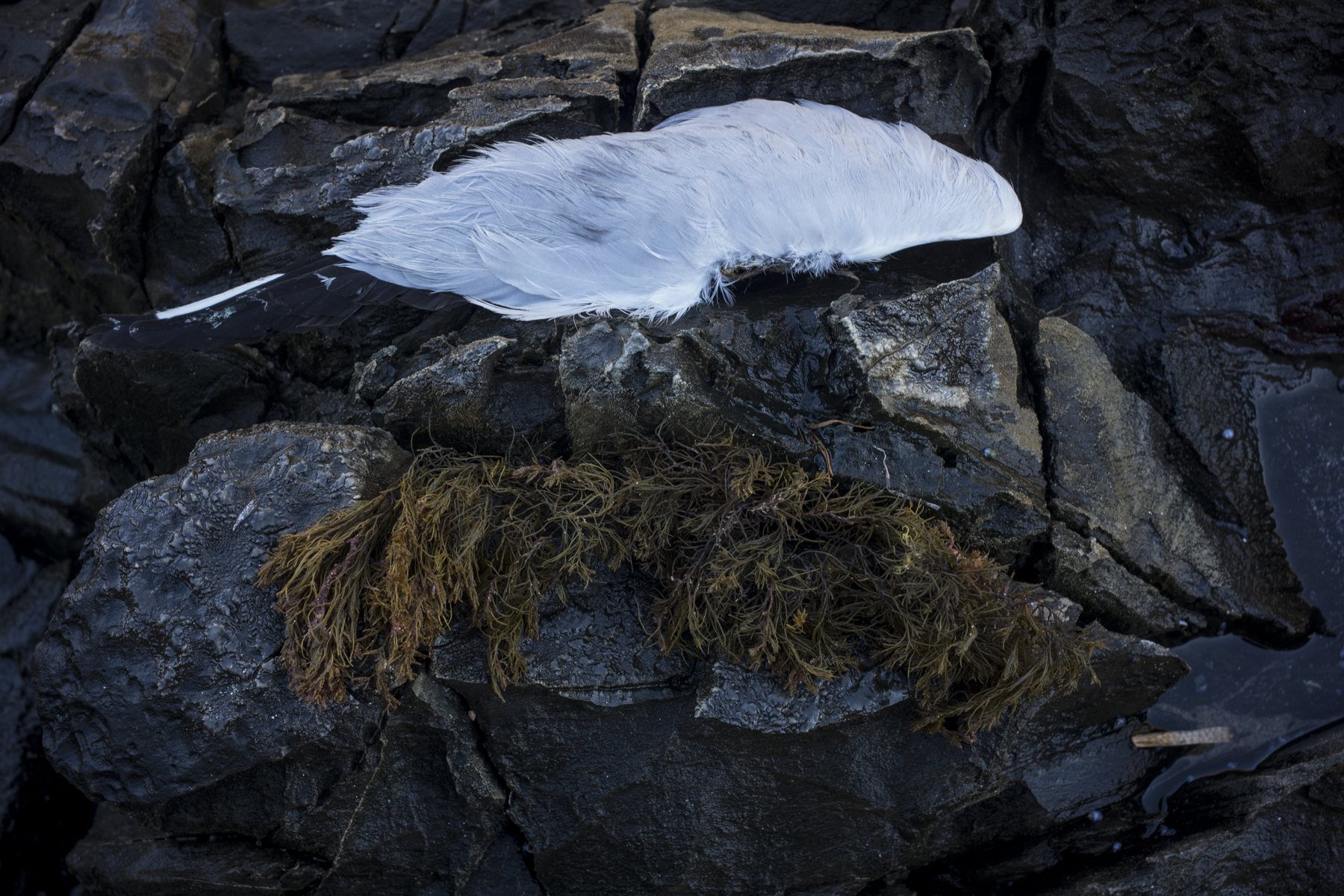

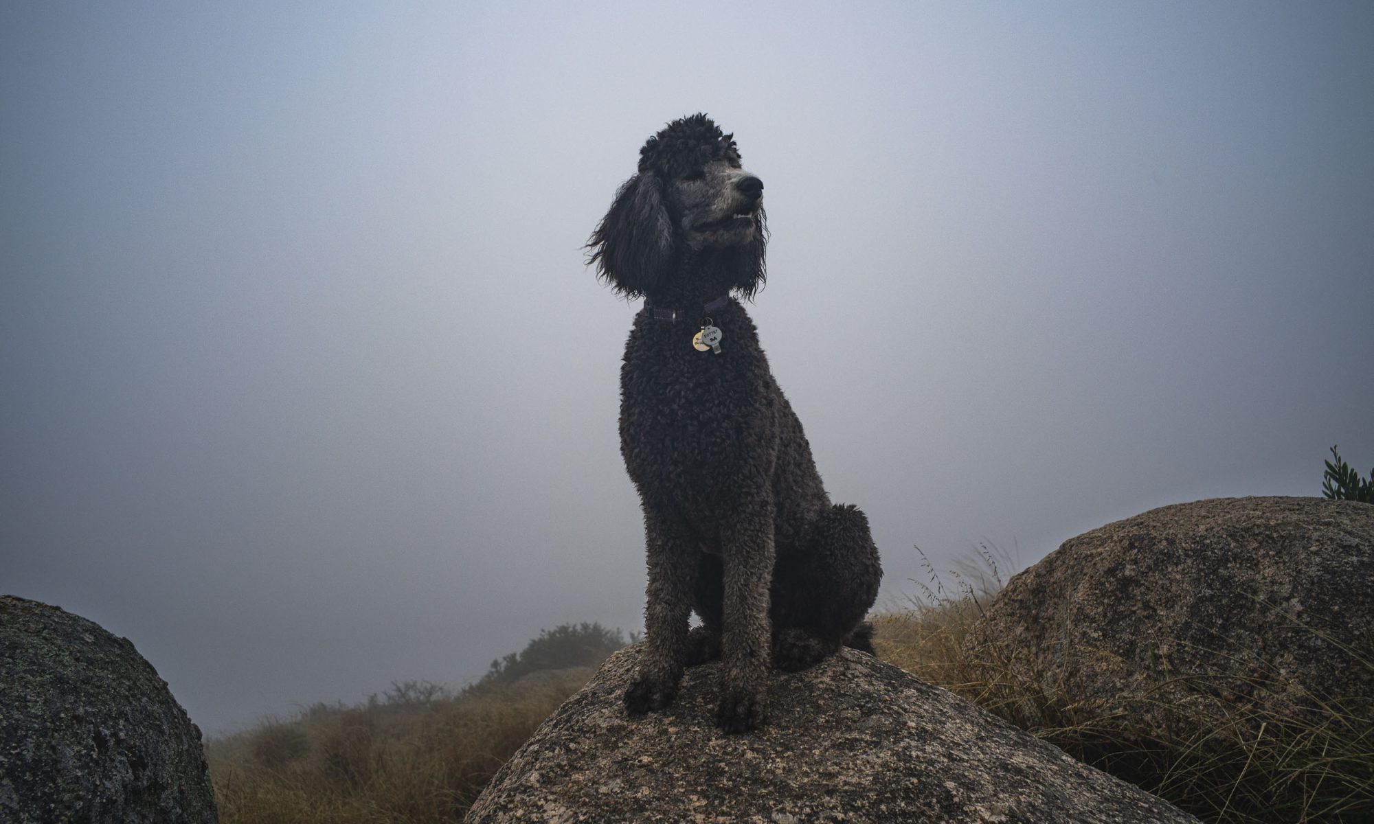
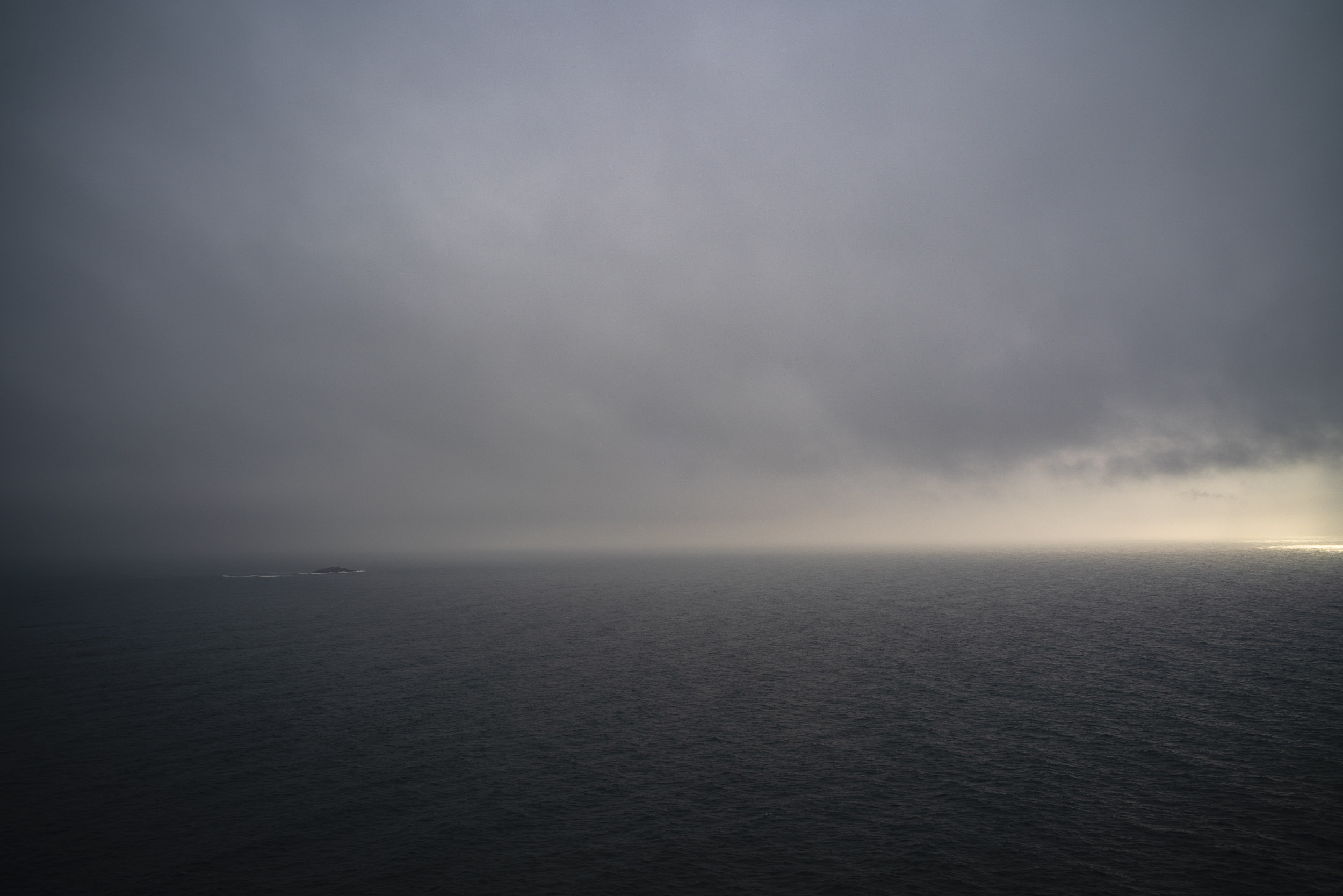
The recently passed 2023-24 summer was certainly a strange one. It was notable for being cool, overcast, stormy, rainy and with frequonr pmnent sea fog and mist. With the unusual weather I went on more early morning poodlewalks with Maya to the Rosetta Head headland (The Bluff or Kongkengguwar) at Encounter Bay than my standard one on Sunday morning.
The cool summer weather provided me with the opportunity to work on the seascape series — both colour and black and white — which had emerged from the poodlewalks in 2023. Maya, though just over a year old, would wait whilst I photographed. Then we’d move on together.
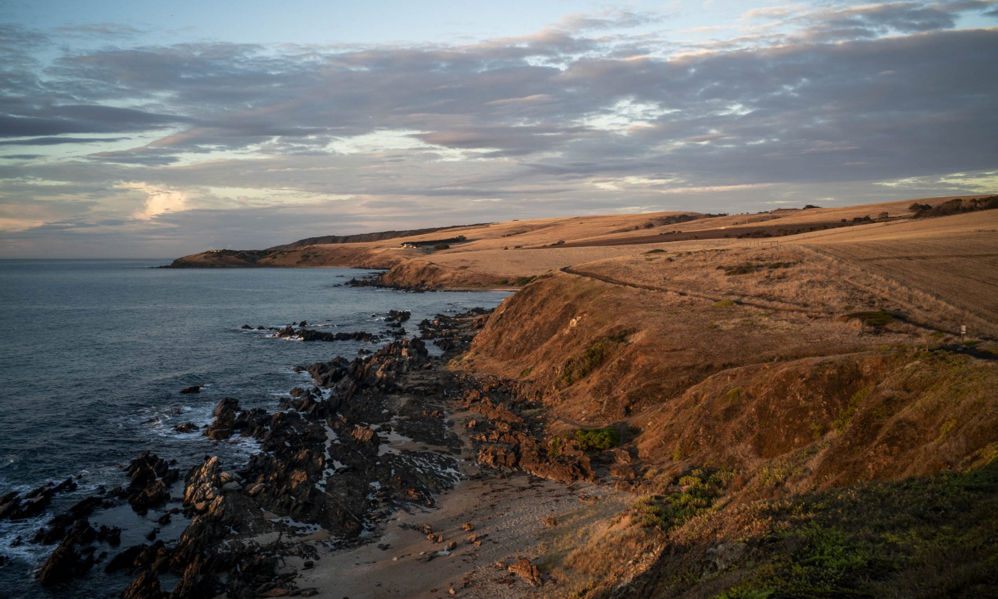
This was an unusual and unexpected summer as the pattern was one hot day then a cool change for several days, then another hot day. The heatwave didn’t come until early March.
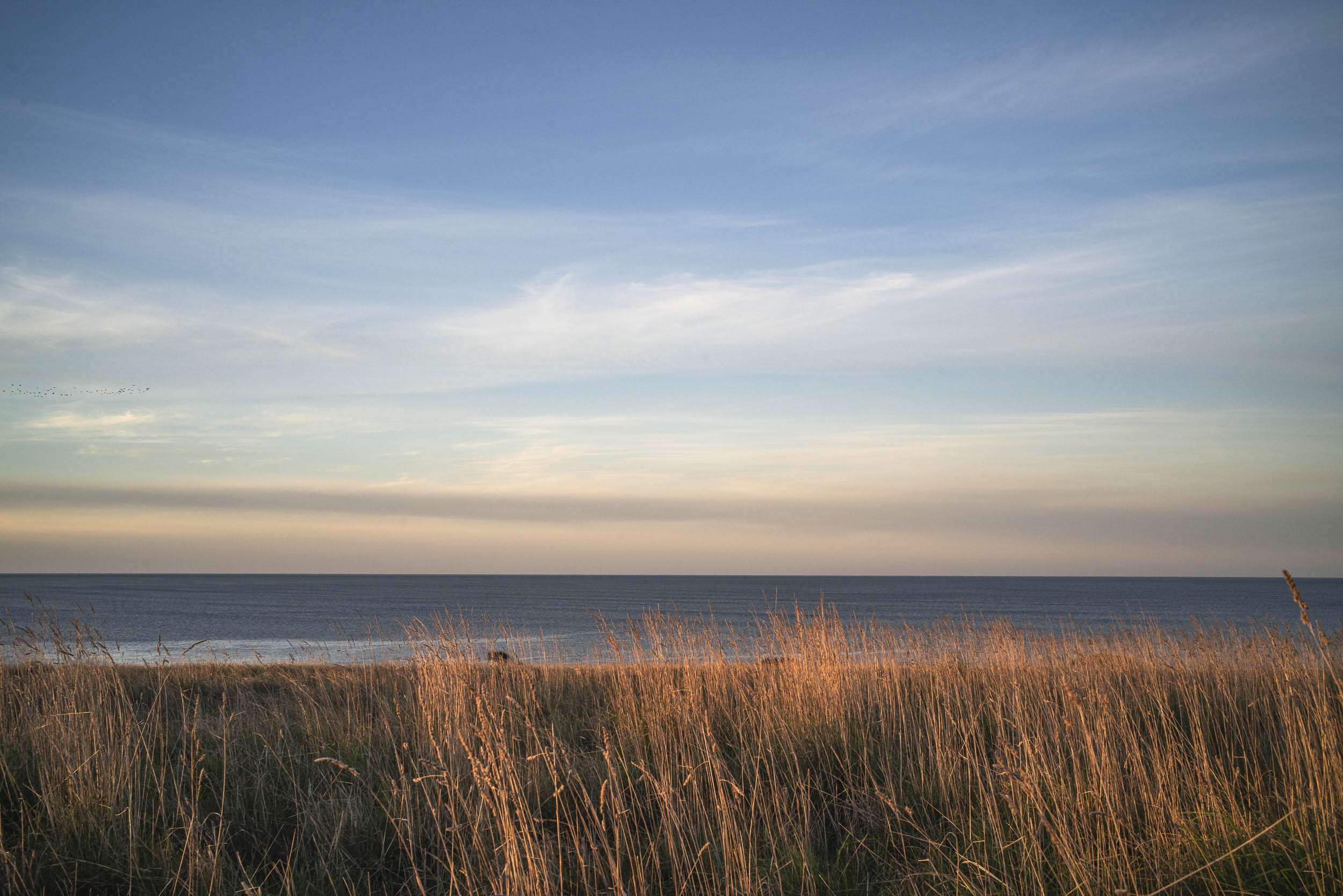
The frequent rains kept the land green until February. Then the summer started with its warm sunny days that the summer beach goers and day tourists were hanging out for. It hadn’t been much of a summer for them up to that point.