
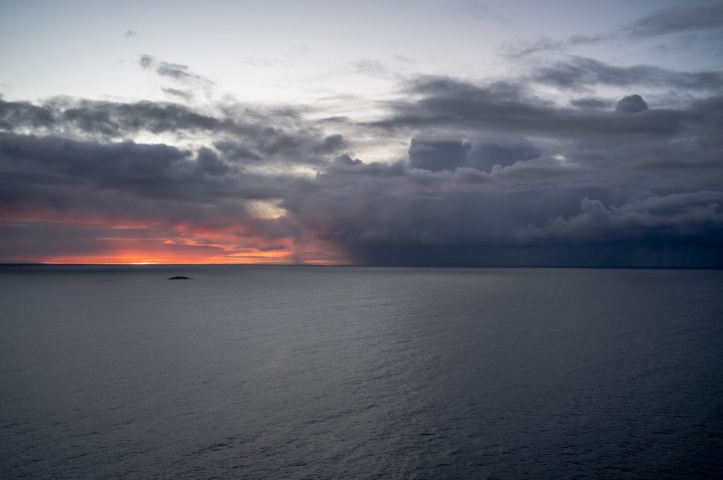
After the camel trek it was great to see the expanse of the sea when I climbed Rosetta Head on an early morning poodlewalk and watched the rain on the horizon. The clouds and overcast skies usually clear during the morning.
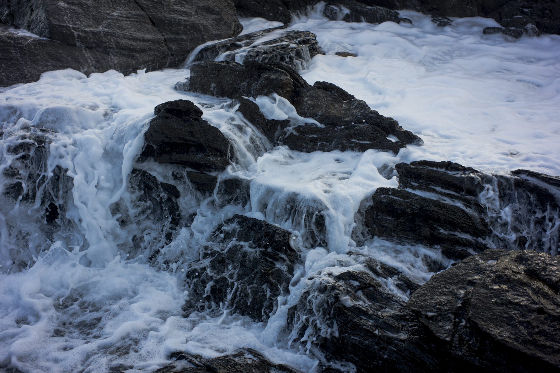
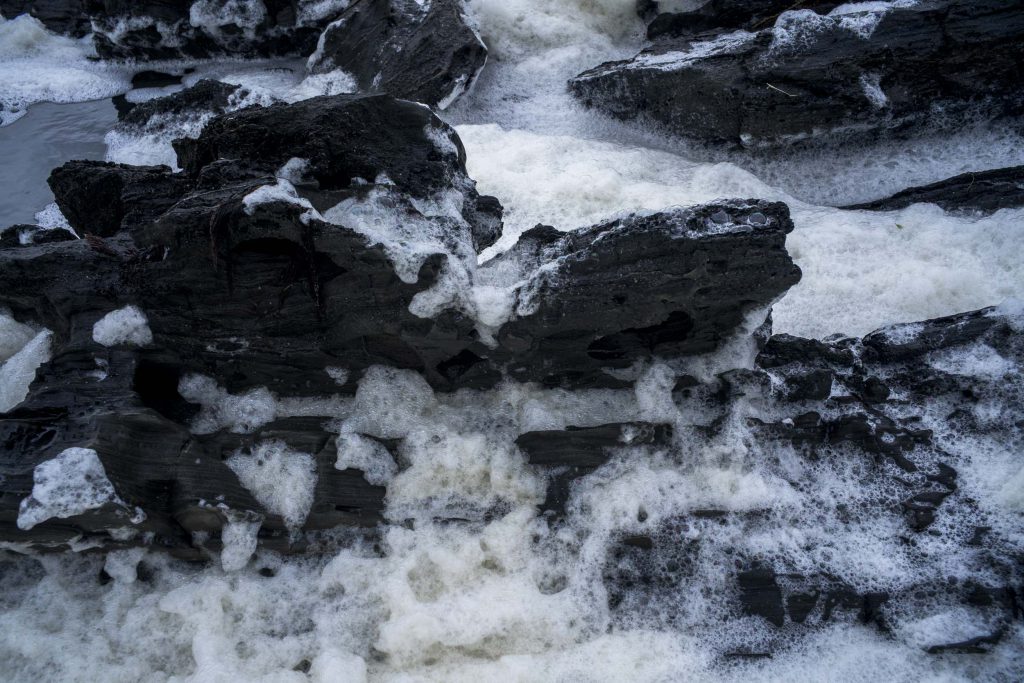
I reveled in spending time wandering amongst the foam at the edge of the sea in the early morning. It only happens infrequently and I usually don’t see it. on the poodlewalks. It was special because this we were due to return to the Northern Flinders Ranges to walk in the Vulkathunha-Gammon Ranges under the auspices of ARPA Bushwalkers in late July.
Though I have contrasted the southern Fleurieu Peninsula with the Northern Flinders Ranges they are historically connected. Parts of the Flinders Ranges had been part of a shallow sea–the Adelaide Superbasin (previously called the Adelaide Geosyncline, the Adelaide Fold Belt or Adelaide Rift Complex), which stretches from Kangaroo Island northwards to Mt Painter in the Vulkathunha-Gammon Ranges.
It contains several named basins and sub-basins, the oldest and largest of these being the Adelaide Rift Complex. The southern Fleurieu Peninsula is part of the Stansbury Basin and is one of one of the two known Cambrian basins of the Adelaide Superbasin.
Most of the Flinders Ranges consist of an extensive and very thick (15km) sequence of layered sedimentary rocks belonging to, and deposited in the Adelaide Geosyncline.It was formed some 850 million years ago and after a very long 350 million years of almost continuous sedimentation, this layered sequence was squeezed and gently folded during the end of the Cambrian. Deep burial regionally metamorphosed the sediments, and granites were intruded, such as those at Victor Harbor, Reedy Creek, Olary, and Mt Painter.
One Reply to “return to the sea”
Comments are closed.