
The Blue Tiers is in the north east of Tasmania and we passed through it on our way to St.Helens.
The early settlers mined tin in much of the George River catchment area between about 1880 and 1930. The clearfelling of native forests by Forestry Tasmania continues supported by the forestry union, the CFMEU and the Tasmanian government, which provides every incentive to destroy the old growth forest.
Within it is a remnant of an ancient Myrtle Beech (Nothofagus cunninghamii) temperate rain forest:

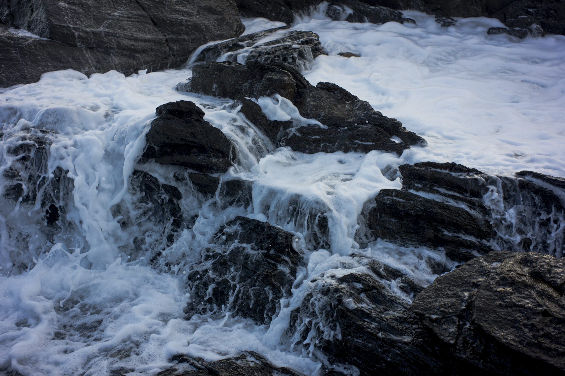
This was in an area of regenerated rain forest full of ferns and mosses.


