
Ari and I cruised the beach at Encounter Bay this morning at sunrise. It was a warm spring morning. The tide was low, the sun light was soft because of the cloud cover, and there was no wind. There was no one around and we had the beach to ourselves. The clouds disappeared and the wind came up after we’d finished our walk.
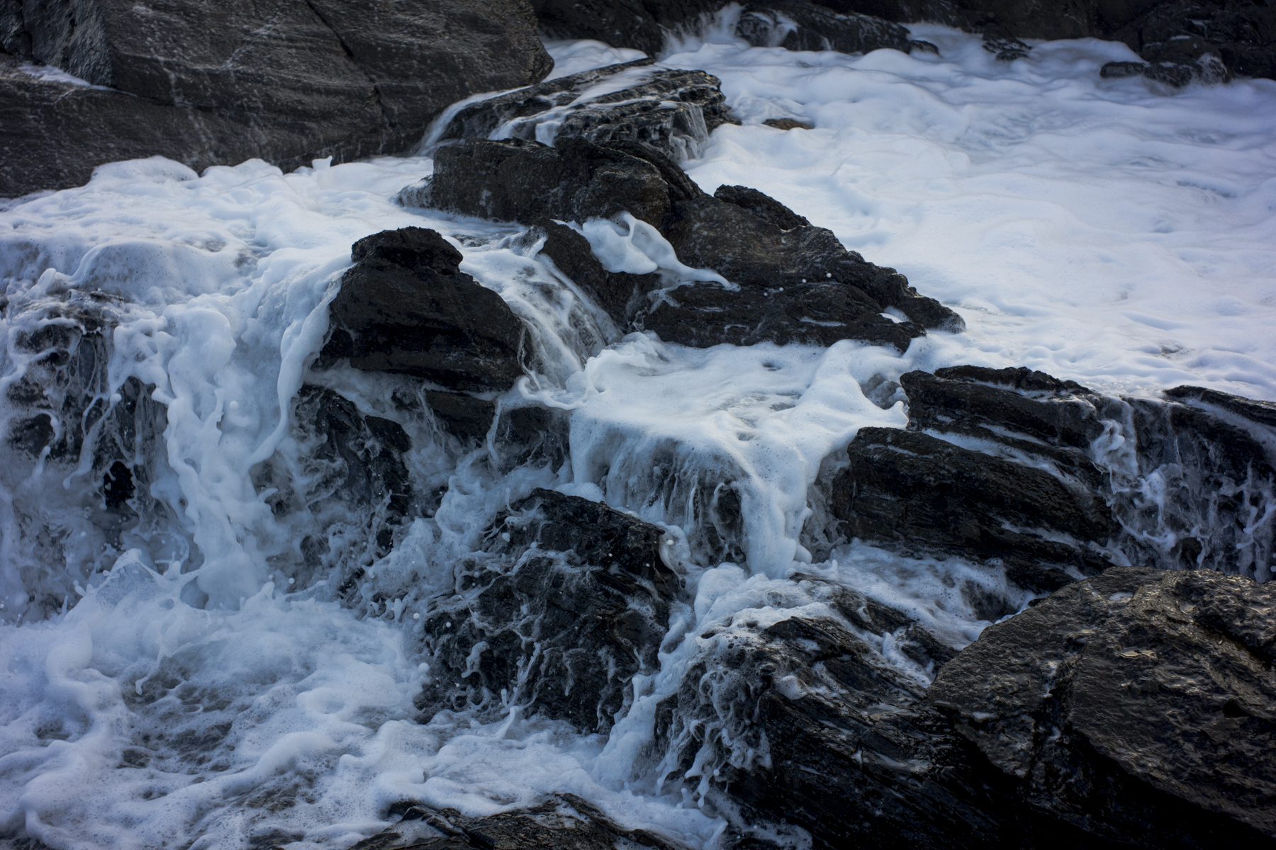
These rocks are along the foreshore. They are part of a large mass of rocks that had been put there by the council long ago to protect the footpath along Franklin Parade from the sea. They gleamed in the early morning light. I couldn’t resist taking a snap.

I’ve come down to Victor Harbor after hanging some pictures of the Fleuriu Peninsula in the Tin Shed Cafe in McLaren Vale as part of the Shimmer Photography Festival. It’s very low fi because I cannot afford to have a large exhibition with a substantial body of work. I have to work towards it.


