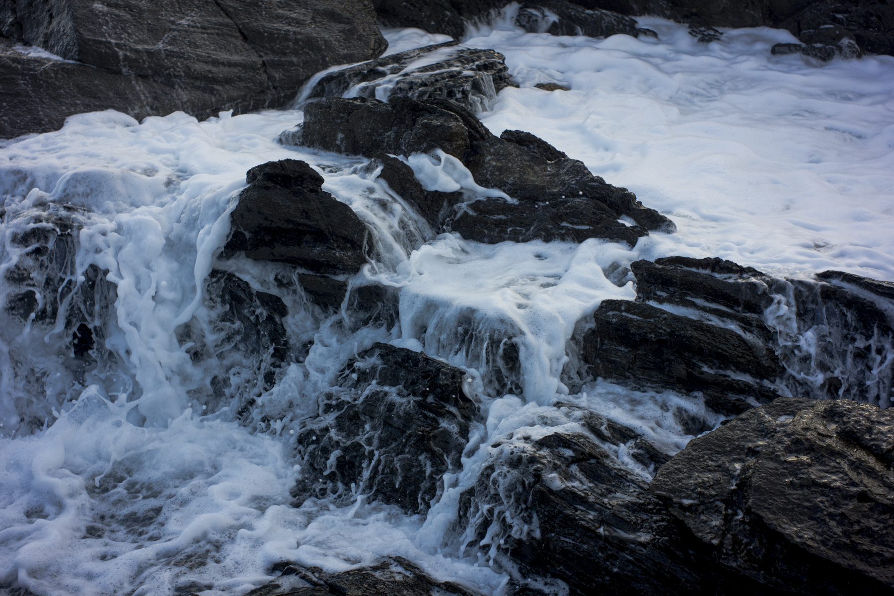
The early morning poodlewalk today was along the beach between the mouth of the Inman River and Police Point near the Granite Island causeway in Encounter Bay. This is the beach east of Kent Reserve and I call it the Esplanade beach in the absence of any official name.
I wanted to have a closer look at the erosion along this section of the beach and to see how the Victor Harbor Council is planning to protect this part of the coastline from the sea eroding the foreshore and the sand dunes. I knew that sections of the foreshore along the Franklin Parade seawall is under threat from sea level rise and storm surges and that it requires upgrading.

This erosion has been going on for some years now, along with the sand depletion abutting Franklin Parade. The Council’s coastal management response to the increase in the intensity of storm damage and erosion since the 1990’s is to replenish the sand on the Esplanade beach.
Presumably, this is to act as a buffer to help prevent further erosion and reduction of the narrow buffer seaward from the Esplanade from the ongoing sea level rise and storm surges. The replenishing sand to increase the sand store in the dune, to restabilise the dune face, and to raise the level of the dune crest, is usually sourced from the beach around Kent Reserve.

This soft management (i.e., dune restoration works) has to be a limited response—a temporary but useful treatment—due to the foreshores now being starved of sand due to an apparent ongoing loss of sand from the overall beach compartment over time.
It is true that the shoreline is sheltered by an extensive offshore reef system, islands and an underlying rock shelf, but without intervention, the likely future scenario under sea level rises is for the foreshores of Encounter Bay is one of ongoing foreshore recession into erodible back beach sediments, exposure of areas of existing rock substrate and loss of sandy beach areas.
More intervention is required—eventually a seawall to protect the Esplanade?


wow