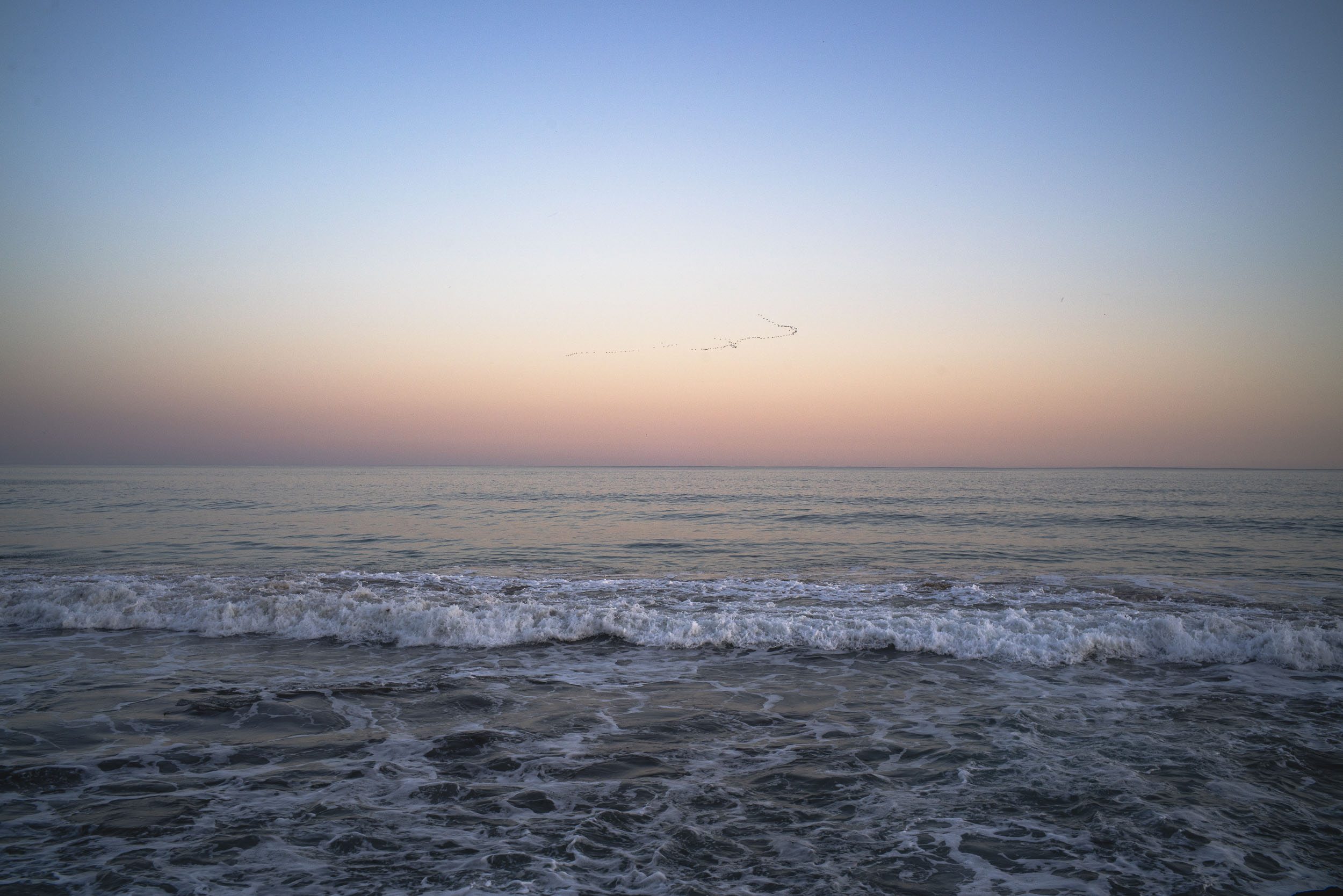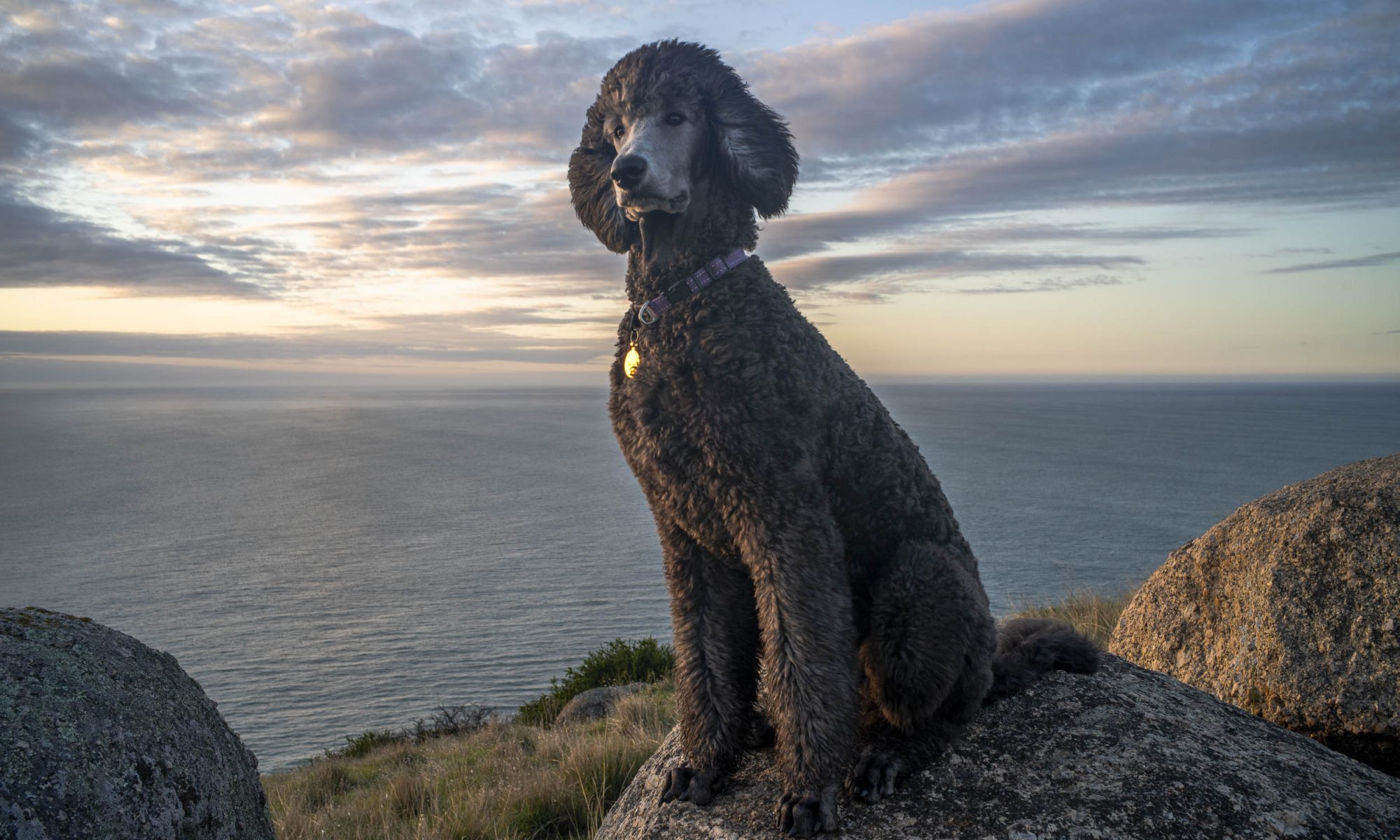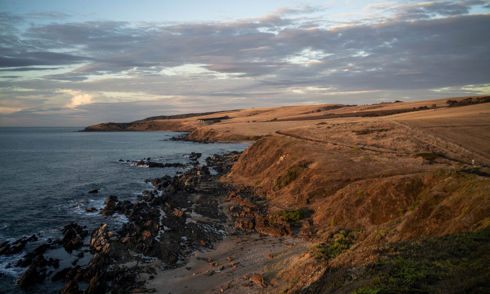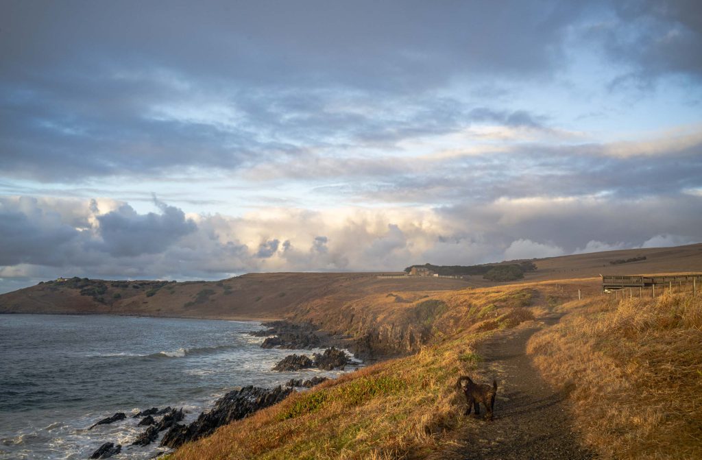

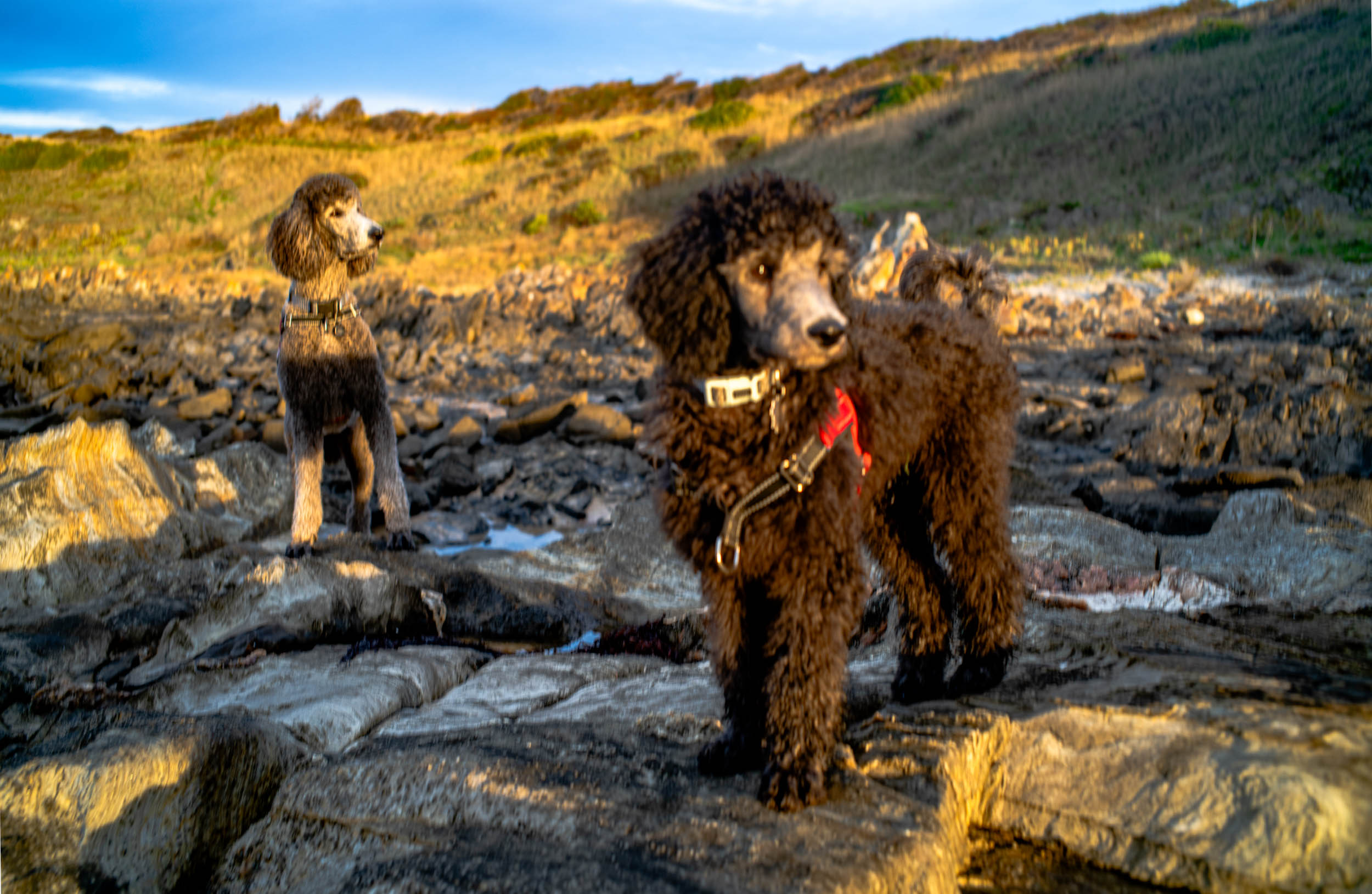
When Suzanne was sick and in the Victor Harbor hospital I was walking both standard poodles (Akira and Maya) on my own. It was disciplined walking as I would walk along the coastal path in the early morning to Dep’s Beach, and then we would walk in the Waitpinga bushland for the late afternoon walk. As Akira hadn’t had all his injections, we needed to stay away from other dogs.
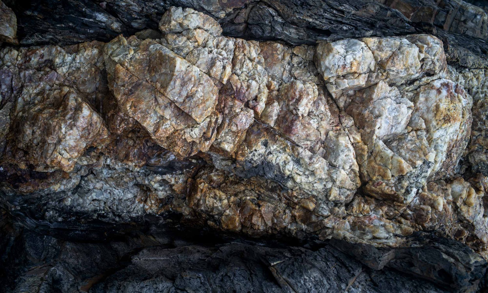
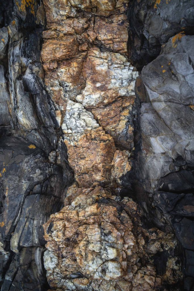
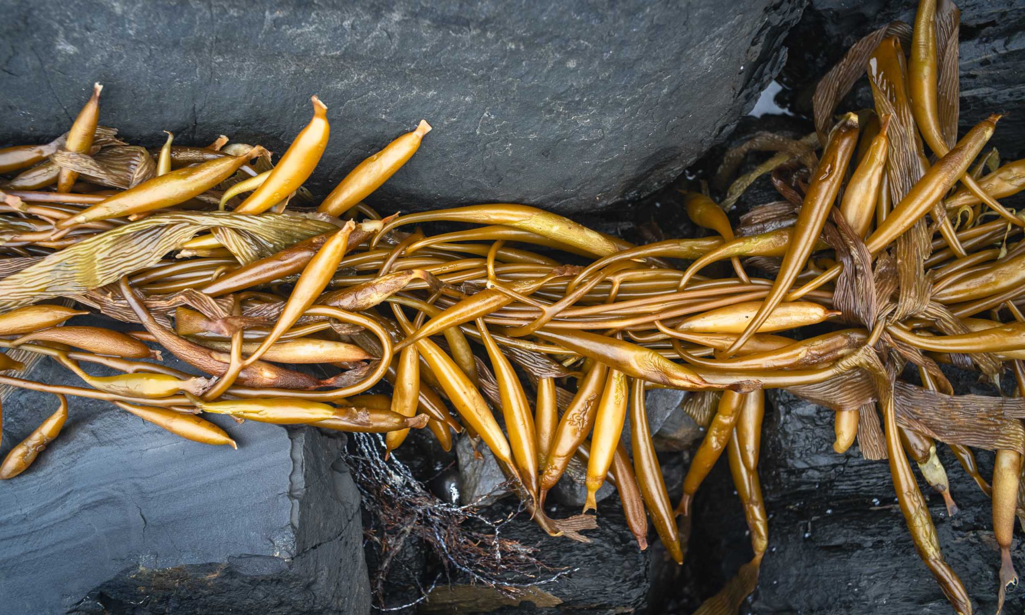
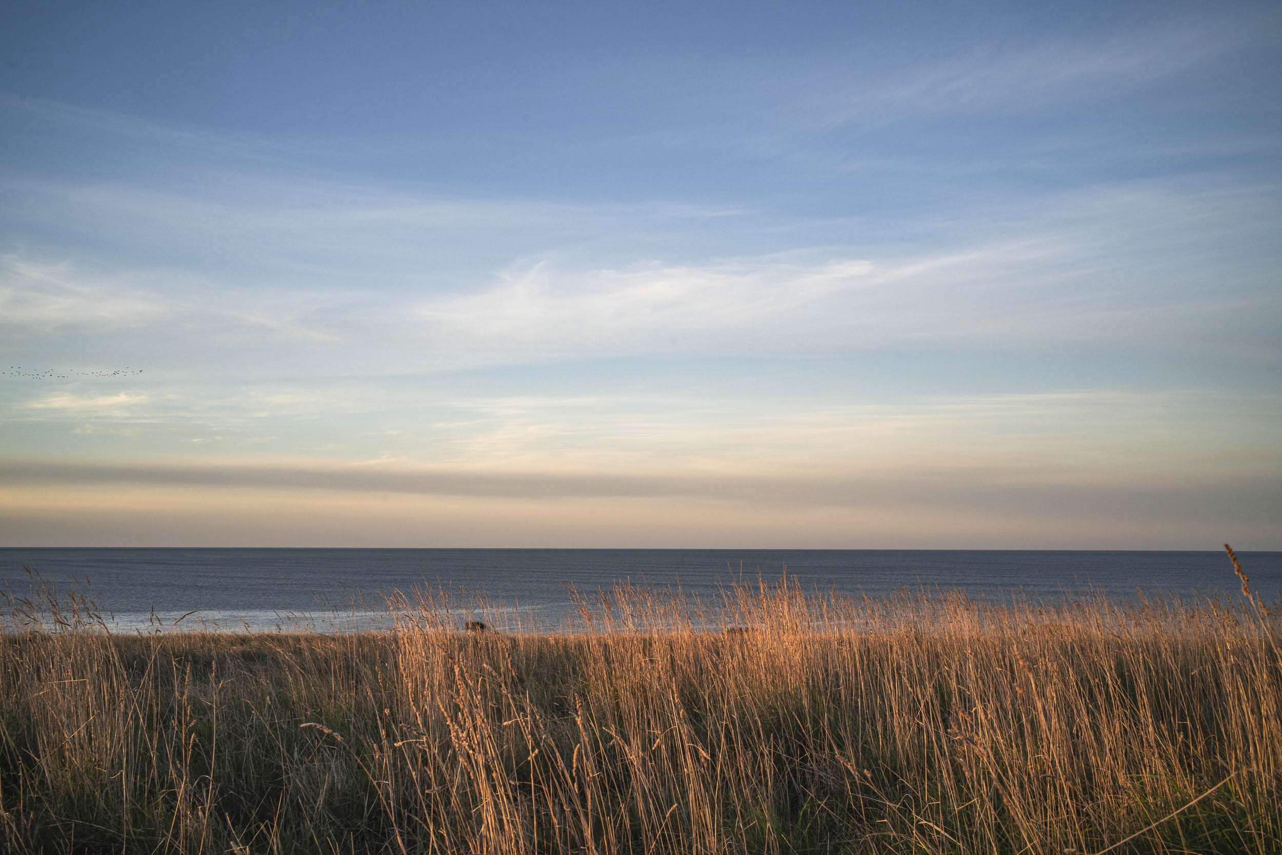
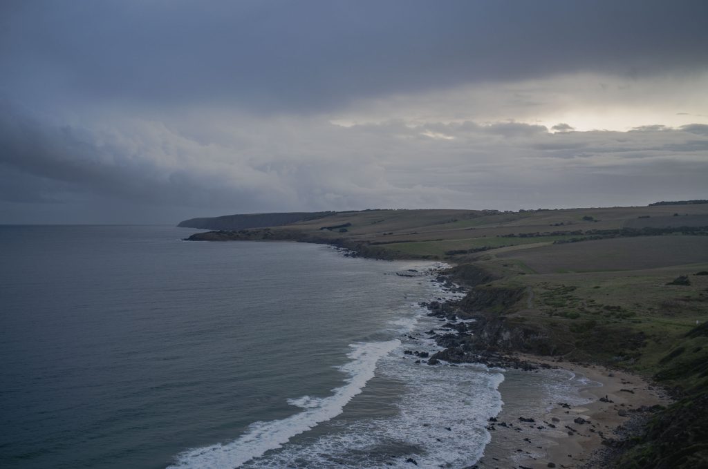
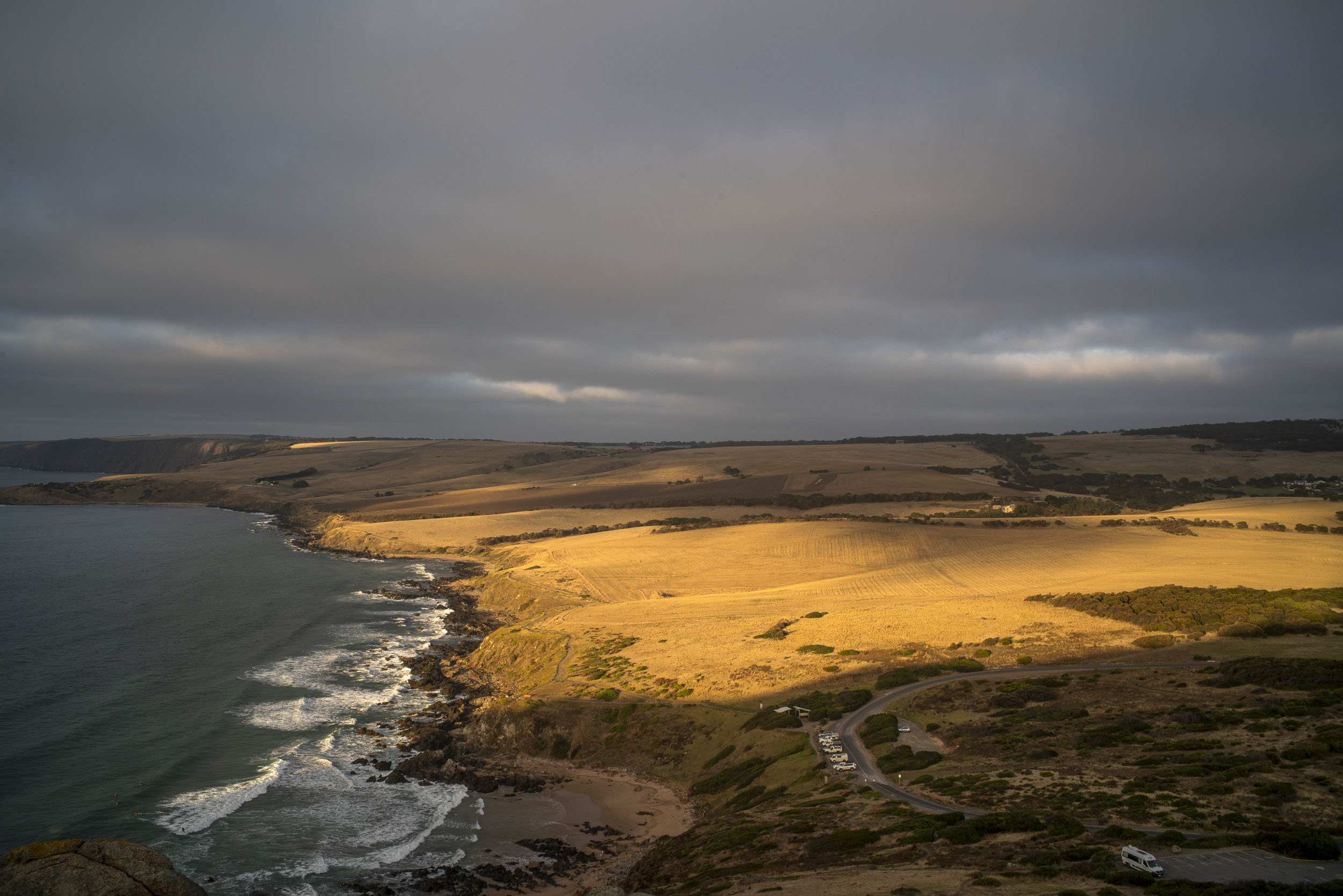
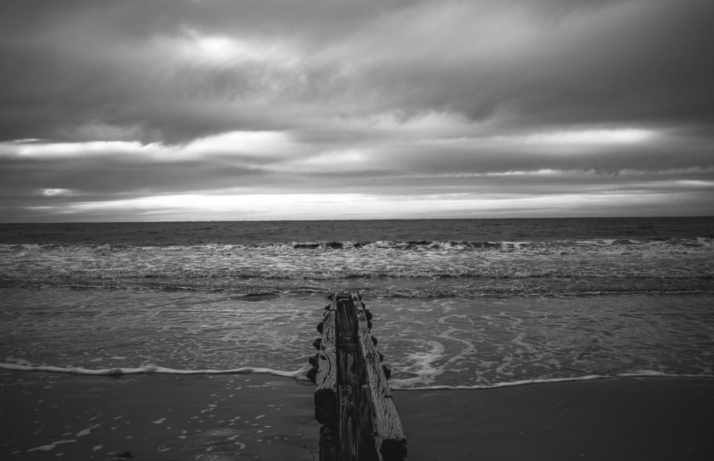
I was primarily managing the poodles. On the morning walk there was only a brief excursion to Dep’s Beach or to the rocky littoral zone below the cliffs when I could see that there was no harmful algae bloom (HAB) present in the onshore waters or in the rockpools. It hasn’t really gone away.
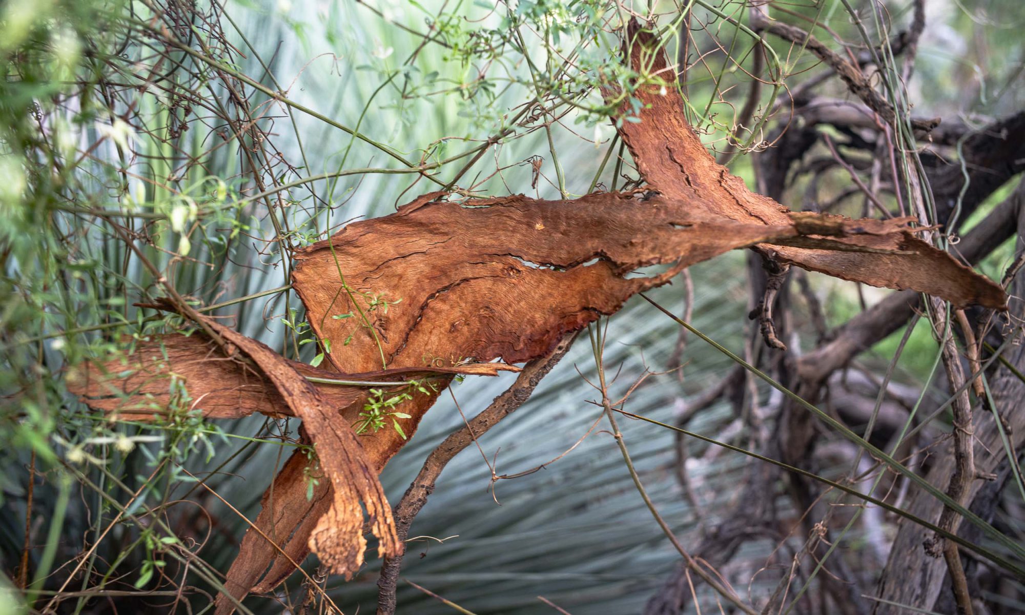
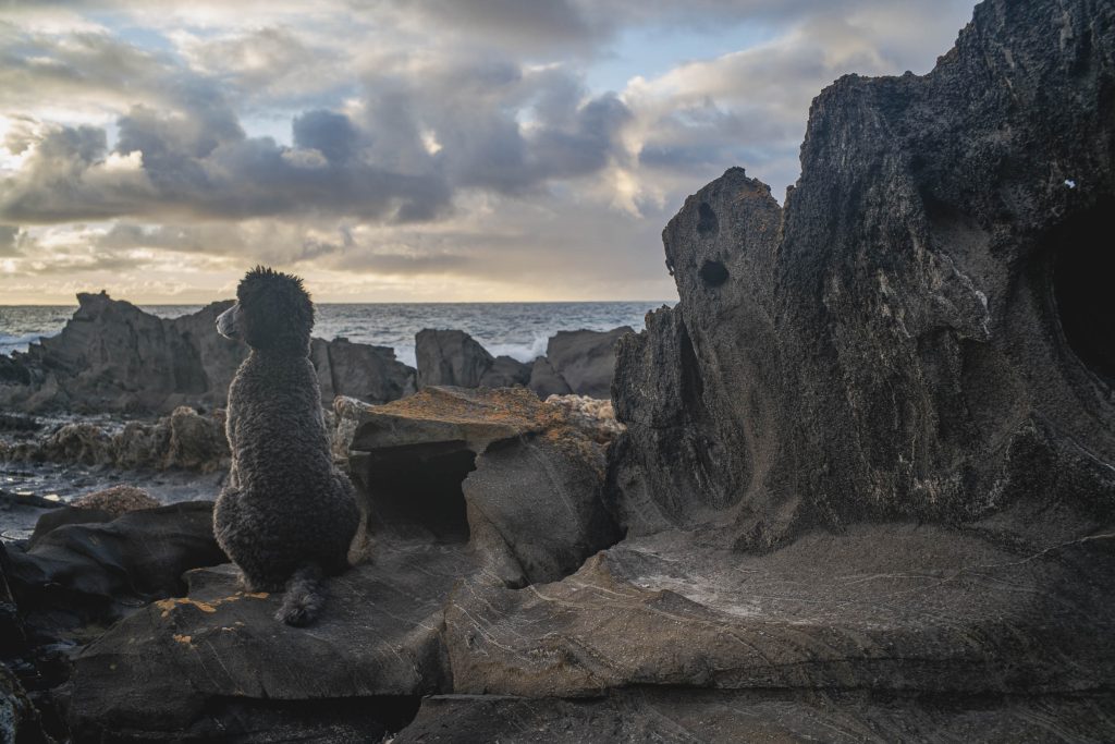
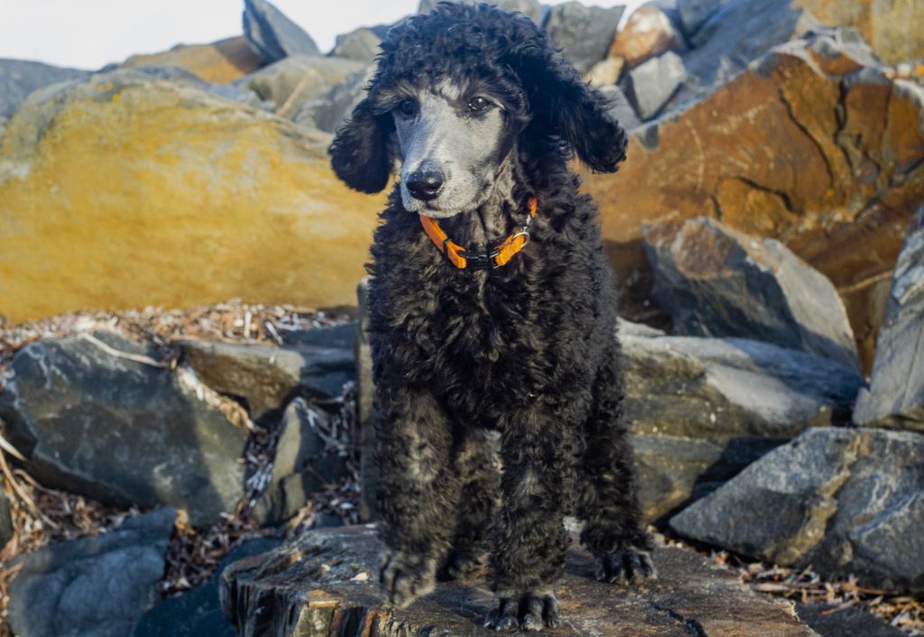
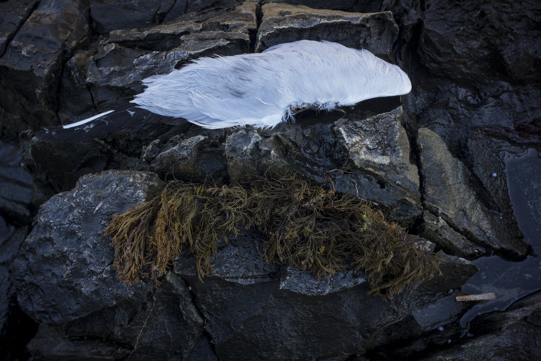
This snap was on one such brief excursion along the littoral zone just east of the Whale Lookout. — a chance encounter.
There was very little photography done in this period There was no film camera on a tripod photography. No hand held film photography either. I was actually on a break from photography — a break from making images for a particular project for around 12 months.