Petrel Cove: Tourist development #2

The development pressure on the coastline around Rosetta Head continues and it takes the form of marinas, cruise ships and building tourist accommodation on agricultural land. As expected these forms of development give rise to political tension and conflict between economic development, heritage and environmental protection. These are currently managed within a single planning rule book  in which the policies reflect and align with the Government’s state planning policies that set out a framework for land use in South Australia.

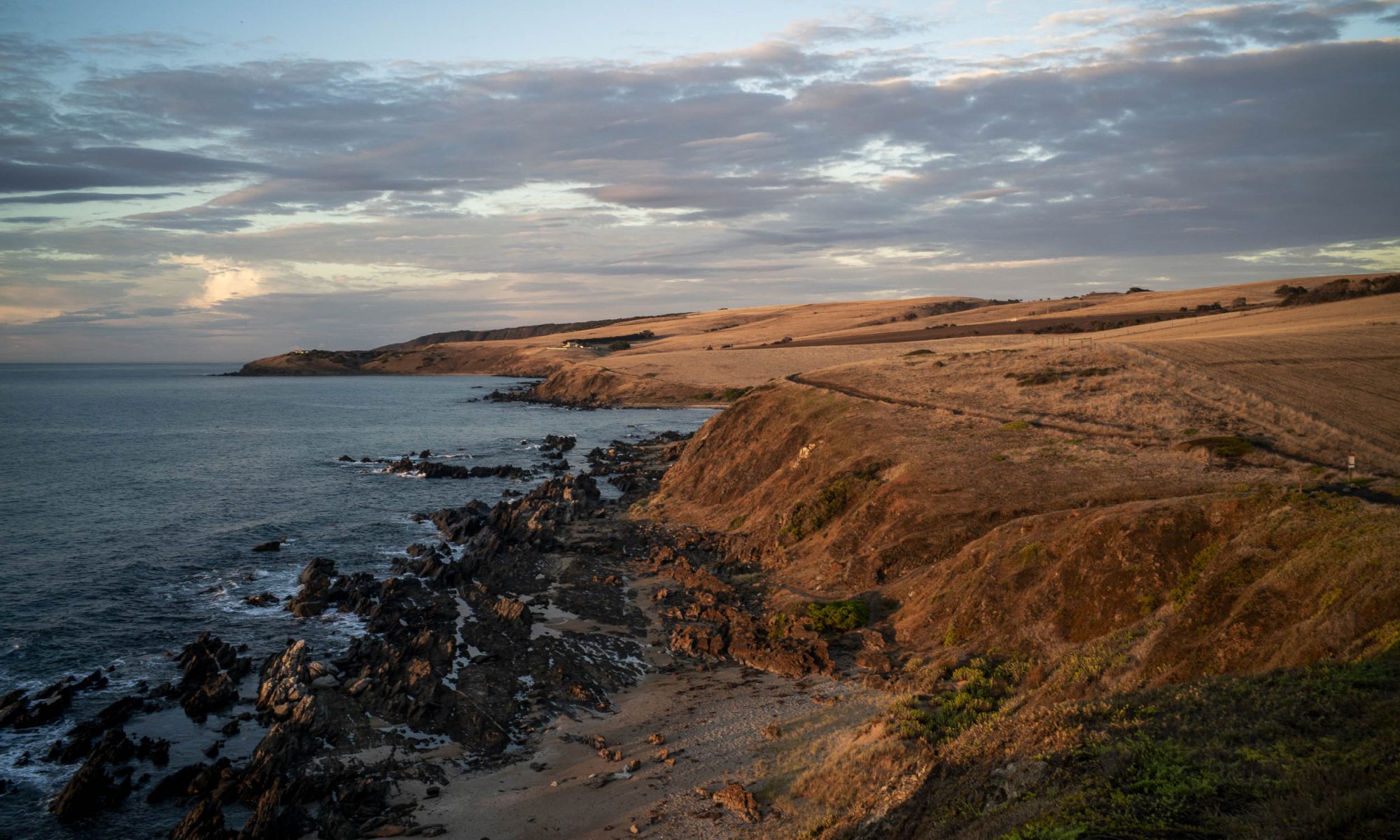
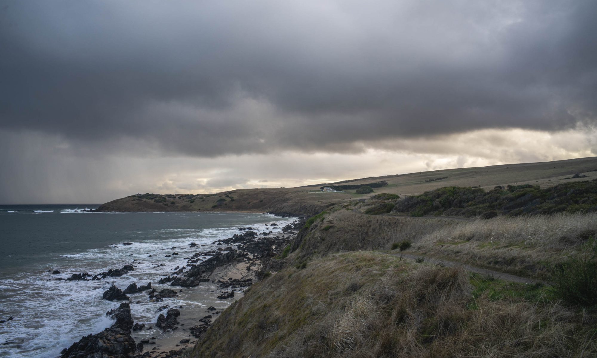
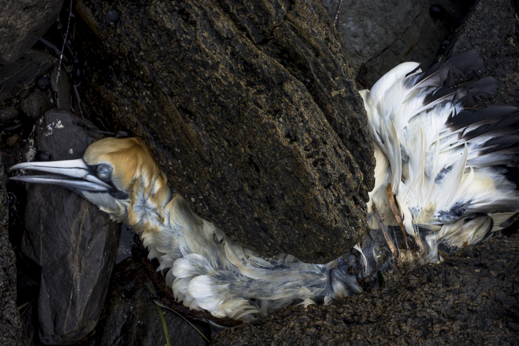
Below is the text of the oral presentation that I gave to the Council Assessment Panel (CAP) of the Victor Harbor Council’s on Tuesday 9th May about the tourist development at Lot 2 Jagger Rd. The meeting’s agenda is here. Lot 2 is just west of Petrel Cove and it is the first paddock in the photo below. The other photos in this post are of the coastal rocks below Lot 2.
We were allowed 5 minutes to speak on the basis of our original written submissions and it was expected that new material would be presented, rather than just rehashing the written submission which had already been read by the expert panel members. I spoke to this text.

——-

Thankyou for providing me with a space to speak to the Tirroki development application in the context of the SA Planning and Design Code. This is the cornerstone of South Australia’s current planning system and it ‘s structure provides us with a way to judge developments within specific public criteria.

The Tirroki development consists of 5 well designed self-contained accommodation units, service building and associated infrastructure. Max Pritchard’s architecture is good tourist design and it will enhance the built environment at Encounter Bay, some of which is second rate and shoddily built.

I will make two points with respect to this tourist development in a rural zone with its 11 overlays.
walking with Maya

Sony A7 R111

My early morning, off-lead walks with Maya, our new standard poodle pup, have slowly become longer whilst she reached 16 weeks and had her final round of injections. The walks have included beaches, coastal trails, fairgrounds, hills and bushland.

What photos I have been able to make were just those on the walk around sunrise. She is too young to wait for me whilst I set up a large format camera on a tripod on Rosetta Head and make a photo:

Sony A7 R111
cup + saucer

Many of the early walks were around the Granite Island causeway as there were piles of seaweed along the beach which Maya played in and loved. It also tired her out so she would then walk along the beach with me.

Development, tourist style

Given the general decline of the rural sector seaside or coastal towns depend on domestic tourism to survive. In the process of encouraging tourism, seachange retirees and regional growth they are in danger of damaging, if not destroying, the very natural attractions that made them so attractive to people in the first place.

Victor Harbor on the southern Fleurieu Peninsula of South Australia is a classic example . Tourism has replaced the dairy and grazing farms in terms of economic importance. The city council has invested substantial funds to rebrand the town from being a run down and decaying service centre for the the agricultural industry to a tourist town. The rebranding involved giving the town centre a design facelift. The town has become more attractive but its economy is low-wage work such as retail and hairdressing that exist to serve local residents. A high tech hub of innovation and creativity it is not.

Tourist development is already happening. There is a Heritage Trail that runs west from Petrel Cove, which link up with the Heysen Trail at Kings Beach Lookout. Both Trails form part of the Wild South Coast Way on the southern Fleurieu Peninsula. There is also a Bluff (Rosetta Head) Master Plan, which is in process of being put together, based on community feedback that emphasizes walking not more carparks. These are low key eco-tourist developments with a light footprint. You enjoy the coastline by walking it.

Petrel Cove coastline

The Victor Harbor Council has not publicly responded to the community feedback re the Bluff Master Plan, but the plan does not include the privately owned farmland west of the Rosetta Head reserve. Under SA’s new planning system Victor Harbor is part of the Greater Adelaide Planning Region and it is unclear whether the Victor Harbor Council will assess the proposed development or whether the planning authority is Planning SA and the state government.

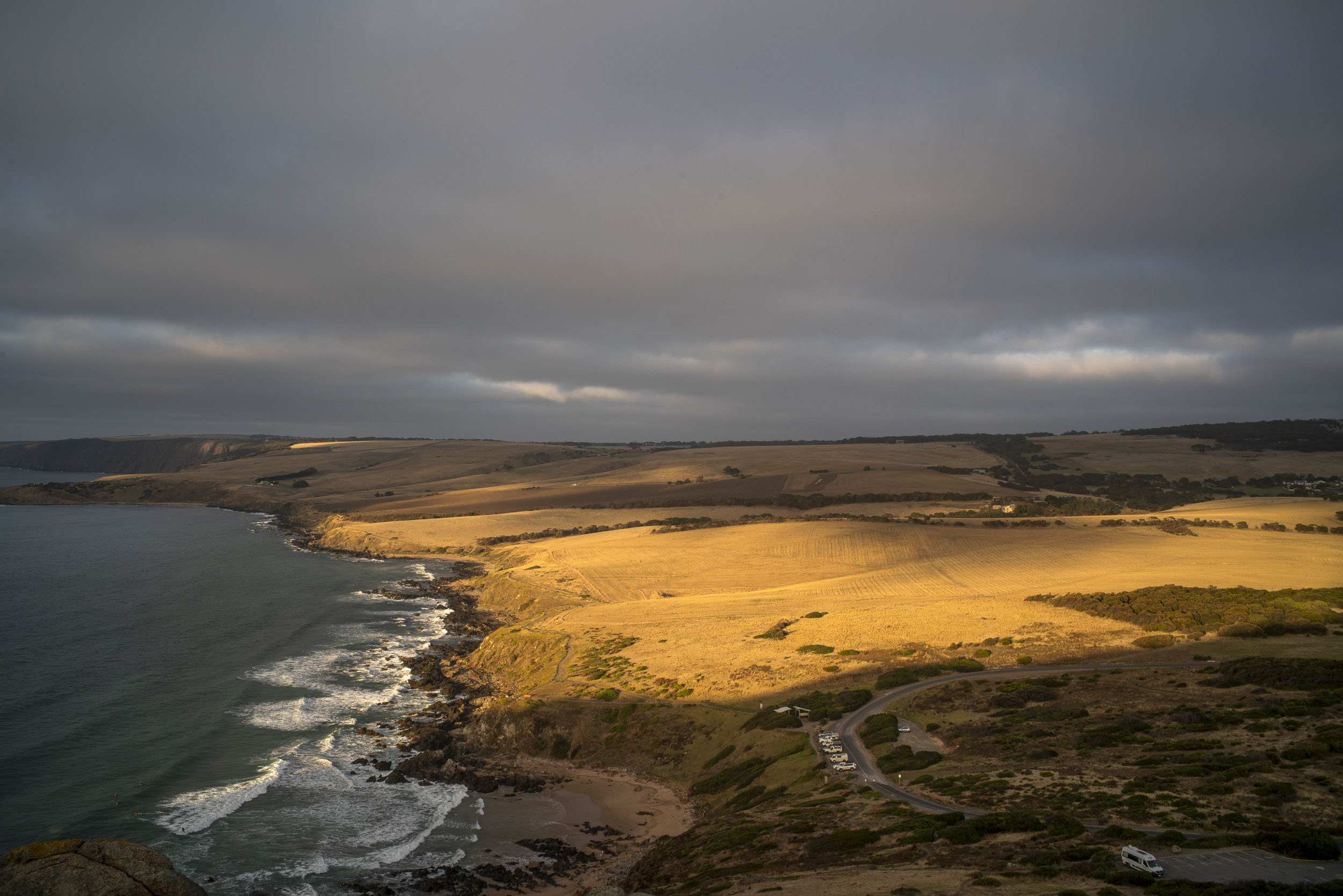
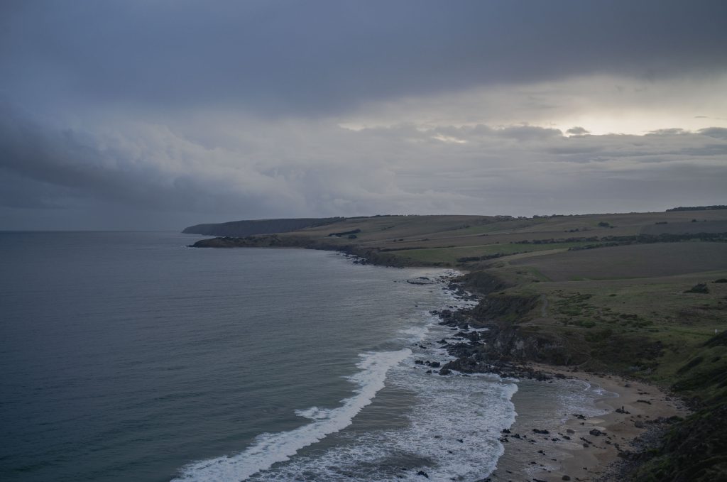
The picture above is from January 2022 and it was made from Rosetta Head (Kongkengguwar) on an early summer morning. It looks west across Petrel Cove down along the coastline to Kings Beach and Kings Head. The Waitpinga Cliffs are in the background. It is a fantastic coastline that needs to be cared for as the farmland is sold. Massive and ugly development would destroy it.

The area just west of the Petrel Cove car park and the green belt in the above picture is earmarked for a proposed tourist property development by Tirroki Pty Ltd consisting of 5 self-contained accommodation units (4 single and 1 double unit with carports) and service building/s on the current farmland. It runs east/west from Jagger Road to the Heritage Trail with access from Jagger Rd.