boundaries

Poodlewalks is walking, photography, blogging. So where do I go from here in a world defined by social media?

Walking.

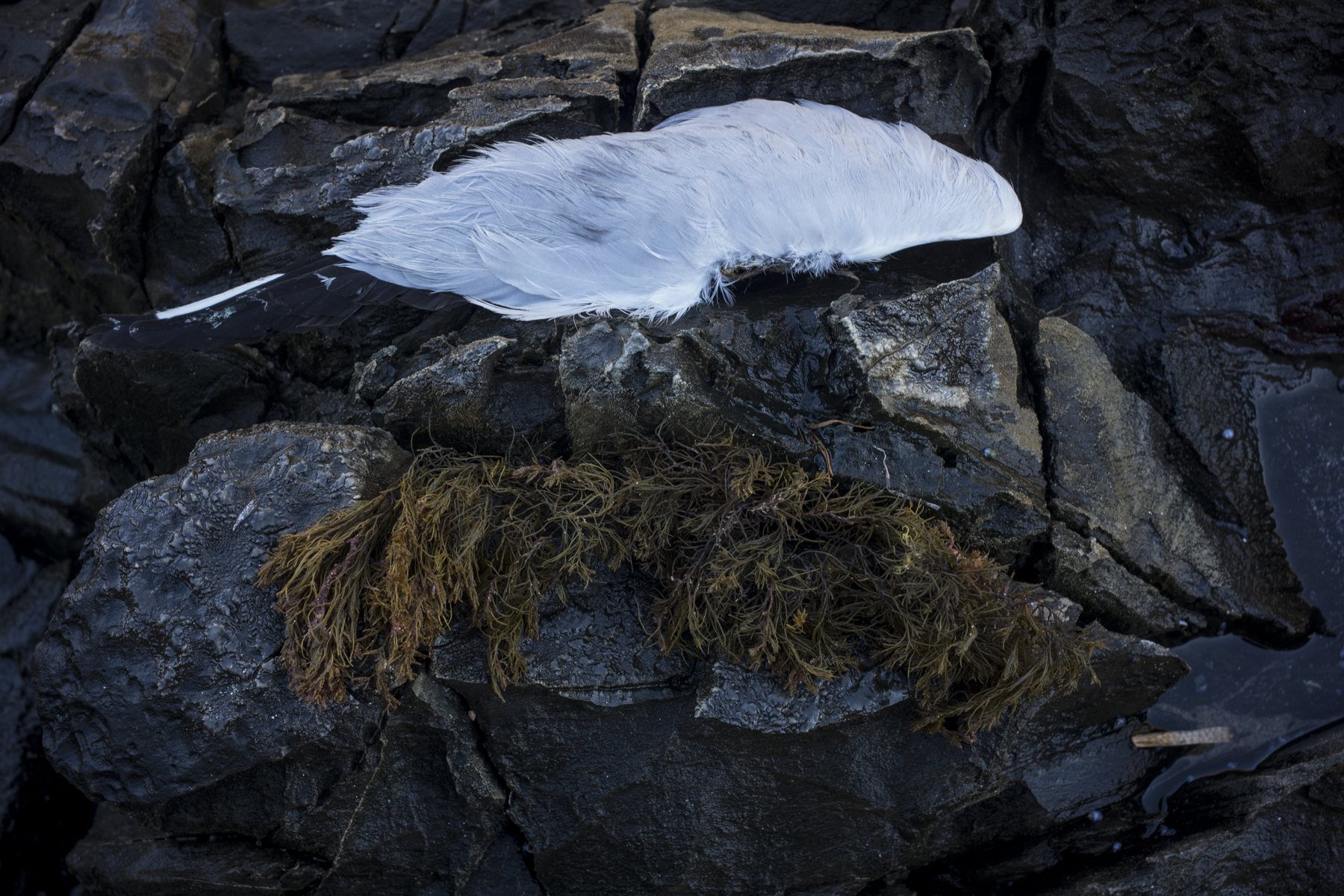
I have recently enlarged the boundaries of the short, morning poodlewalks with Kayla from walking along the coast and the back country roads to walking through the seaside suburbs in Victor Harbor. Enlarging the boundaries in the sense of broadening my engagement with my locality. The southern coast of the Fleurieu Peninsula is very walkable.

Hayward St, Hayborough, Victor Harbor

In following up a YouTube link on Stuart Murdoch’s photoblog I listened to Craig Mod talking about his walks in Japan. I realised after this talk that my poodlewalks are actually a platform, to use a digital term. For me they are a platform for some photography.

seaside architecture

Kayla and I have started to walk along the various roads next to the various beaches in Encounter Bay so that I can photograph the seaside architecture. As these morning walks incorporate Hayborough, which is east of the Hindmarsh River, they can take several hours. The mornings have been overcast and the cloud cover has remained until 9am.

I have taken photos of the domestic seaside architecture before on previous beach walks, but not published any. I wanted to be a little more thorough. This house at 68 Franklin Parade is one that I have walked past many times, but I’ve never bothered to photograph it. It is quite secluded by the trees and bushes on the right hand side of the front of the property.

brown house, Franklin Parade, Victor Harbor

It stands out from the other beach houses on Franklin Parade because of the dark, brown wood, orange roof, and the trees. It is much darker and in deeper shadow than the other houses.

Agricultural landscapes

As mentioned in this post on my Encounter Studio blog I have started to explore the back country roads and the agricultural landscape in and around Waitpinga whilst on our afternoon poodlewalks. The Fleurieuscapes project needs to include the rural landscape in order to have some balance to the coastal images in the littoral zone. Most of the space of the Fleurieu Peninsula is an agricultural landscape consisting of dairy farms, grazing land for sheep and cattle, and the rapidly expanding vineyards.

I do struggle with photographing this subject matter, and most of what I see and then scope with a digital camera on our poodlewalks is boring and uninteresting, especially when I look at the digital files on the iMac’s computer screen. I am finding it to be a depressing and disheartening process.

One exception is this picture of pink gum, with a farm shed, silo and water tank along Pitkin Rd in Waitpinga that I came across on an exploratory afternoon poodlewalk with Kayla and Maleko:

Pitkin Rd, Waitpinga

This scoping picture was made in the autumn, when I first started to consciously explore the back country roads in Waitpinga. This picture of a dry, agricultural landscape works much better for me in black and white. The initial colour image looks too pretty and touristy–the photos would be what you would see in a feature in the glossy Fleurieu Living Magazine.

a roadtrip to Melbourne

We–Suzanne, Kayla, Maleko and myself– leave early tomorrow morning on a roadtrip to Melbourne.  Our route is  Keith, Penola, the Hamilton Highway, Geelong, the  Queenscliff ferry to Sorrento. Our destination is Karen, my sister’s  place at  Safety Beach on the Mornington Peninsula.

winter, Dukes Highway, 2013

We will  stay  a week or so with Karen  then return to Adelaide via the Western/Dukes highways. This is a small  roadtrip–just to Melbourne and back.   Continue reading “a roadtrip to Melbourne”

Xmas

We are in the middle of the Xmas  summer holidays and the Heritage Trail    is now extremely popular, as is the beach at Petrel Cove.   As usual  the recreational  fishermen are out in force in their hunt the oceanic wilderness beyond the Encounter Marine Park for  the Southern Bluefin tuna.  This recreational fishing is still allowed  in Australia, despite the accepted global status of Bluefin tuna as an over-fished species.

There appears  to be a lot more people holidaying  on the southern coast of the Fleurieu Peninsula  this year. Maybe people are holidaying locally cos  the poor exchange rate for Australian  dollar  makes the overseas holiday trips too expensive?

Kayla and I have taken to walking around the empty streets of the township  at 6.30 am for our  early morning walks:

alleyway, Victor Harbor

We wander down any alleyway that we come across that would provide  some shade and protection from the wind.  The alleyways allow us  to avoid all  the runners and the bicyclists on the paths near the beach.  Continue reading “Xmas”

retracing old urban walks with Ari in Adelaide

Whilst Lariane Fonseca was staying with us at Encounter Bay whilst on her way back to Geelong from her Flinders Ranges trip I took the opportunity to do some research for the Adelaide Photography 1970-2000 book and to walk Adelaide’s CBD.

It was a nostalgic walk. I re-walked some of the routes that I used to do with Ari when we were living in the CBD. It was all about my memories. I even returned to some of the carparks that we used to visit and explore together:

Cordwainers Lane, Adelaide CBD

The early morning and late afternoon poodlewalks walks in the CBD with Ari are what I miss about not living in the city now. I don’t really miss anything else about living in the city.

Continue reading “retracing old urban walks with Ari in Adelaide”

cream brick

One of my options in our restricted poodlewalks during the current grass seed season is to park the Forester in Kent Reserve, walk west along the Encounter Bay beach towards Rosetta Head, then back along Franklin Parade to the Forester. That way I can see some of the seaside architecture along Franklin Parade that runs alongside the beach and the reef. It is a popular walking spot.

The seaside architecture is very varied and the built environment along the foreshore is undergoing change. The modest, older style beach-side shacks are being replaced by two story McMansions that take up the whole block. Some of the older architecture is at odds with the coastal environment as it is mass produced, suburban architecture from the 1950s and 1960s that has just been dumped into a coastal environment:

cream brick, Franklin Parade

These kind of cream brick seaside houses do have a certain kind of historical charm and they have shown themselves to be resilient in the salty coastal environment, but I personally don’t find them very attractive.
Continue reading “cream brick”

at Port Adelaide

After I’d taken Maleko to see the Chirovet at Old Port Rd at Albert Park, near Port Adelaide, I drove down to the Port for a coffee at the Red Lime Shack cafe in Vincent Street. Then Maleko and I wandered around the Port. I was going to do some scoping before I returned to Adelaide to pick my negatives from Atkins Photo Lab. Unlike Bond Imaging in Melbourne Atkins still continue to develop roll and sheet colour film.

It had been raining during the night and in the morning in Adelaide, but the cloud cover was starting to break up when we started walking. The Port looked picturesque with Grand Big Top of the Zirka Circus next to Hart’s Mill. Another sign that the revitalisation of the Port was happening. I couldn’t resist taking a snap:

circus, Port Adelaide

I had planned to spend a couple of hours exploring, and returning to walk around Mutton Cove Conservation Reserve in Osborne, but it was very hot and humid around midday so the photowalk was cut short.
Continue reading “at Port Adelaide”

revisiting Port Adelaide

After sitting the final day of my Australian Abstractions exhibition at the Light Gallery I drove down to Port Adelaide to see some of the local SALA exhibitions before they finished. They cafe’s were closed, so Ari and I wandered around the place. It had been a while since we’d done that.

I took a few snaps in, and around, some of my favourite haunts:

Viterra,Port Adelaide

Photographing the Port was going to be a central project for me several years ago, but it kinda faded away for some reason. It was where I started my large format work in black and white in the 1980s when I had a studio at Bowden, and I returned to when I picked up my large format photography again 30 years latter. But the momentum died as I slowly lost interest.
Continue reading “revisiting Port Adelaide”

on the road to Ballarat

I was due to go on a photo trip that was to be tacked onto driving to Ballarat for the Atkins Artist’s ‘Time’ exhibition at the Ballarat International Foto Biennale 2015 early this Thursday morning. But the thermometer in the Mazda 626 stopped working yesterday thereby causing the engine to overheat, just as I started driving to Adelaide to take the film from the Canberra road trip to Atkins Photo Lab to be processed.

The car is now in the local garage waiting to be checked out, the road trip has been postponed and, at this stage.  It looks as if I will be driving the Subaru to Ballarat on Friday. Suzanne can then pick up the Mazda when it is ready, as she will have finished the Victor Harbor camp section of her 3 year Heysen Trail walk.

With some luck I will be able to take photos on the way back to Adelaide. It was to be a similar scenario to the Canberra trip—a photo trip centred around large format photography focused on silos, architecture around Creswick in Victoria and old garages in small country towns.

ruins, Peake
ruins, Peake

With some luck I will be able to take photos on the way back to Adelaide. It was to be a similar scenario to the Canberra trip—a photo trip centred around large format photography focused on silos, architecture around Creswick in Victoria and old garages in small country towns.
Continue reading “on the road to Ballarat”