This companion post to the previous bushland studies one is concerned with exploring the pre-modern Japanese aesthetic category of the indistinct (In’ei) in an Australian context.
“In’ei” refers to the state of dimness or shadow created when direct light is blocked, but it does not mean complete darkness. Rather, it is a state of faint dimness where the presence of light can be felt. Many of these aesthetic categories belonged to Japanese high culture and the aristocratic class .
in contrast, Jun’ichiro Tanizaki In Praise of Shadows (1934) argued that “In’ei” is rooted in everyday life as its ground is its the Japanese people traditionally living under these heavy roofs of thatch or tile, and spending much of their lives in the heavy darkness that hangs beneath the eaves. Tanizaki says that Japanese people traditionally lived under these heavy roofs of thatch or tile, and spending much of their lives in the heavy darkness that hangs beneath the eaves.
I have been photographing small details in the local bushland in contrast to thinking of the camera as an aggressive device: an instrument for shooting, capturing and representing the world. The word ‘to take ‘ express this approach to photography and ‘shoot’ become a synonym for ‘take” . The industrialized interpretation of photography is associated with indexicality, evidence, reproduction, and the actions of producing a photograph described as “taking,” “pointing,” and “shooting,”Underpinning this is the desire of humans to “conquer the world as picture.”
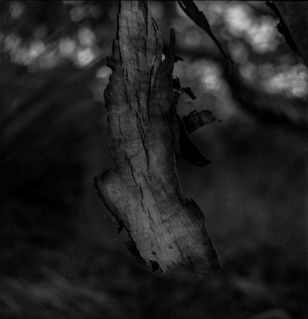
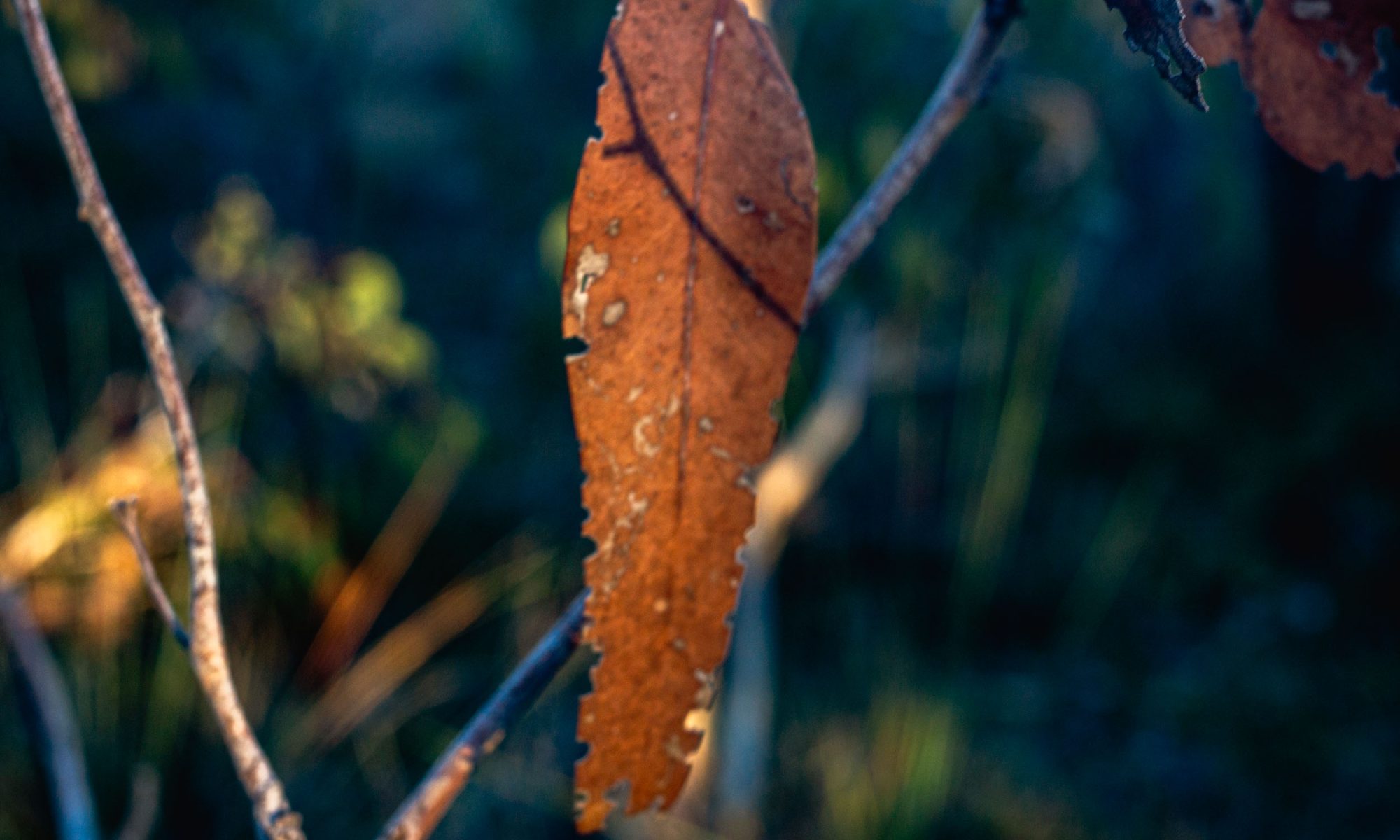
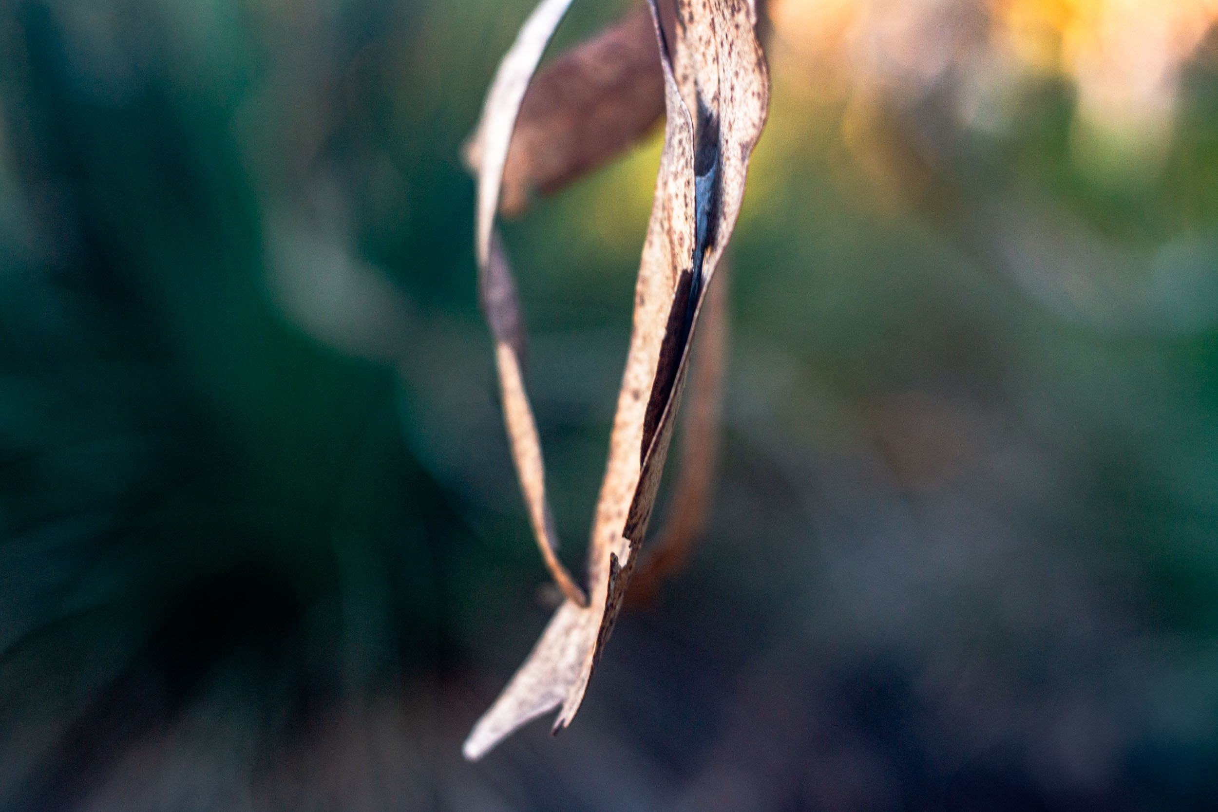
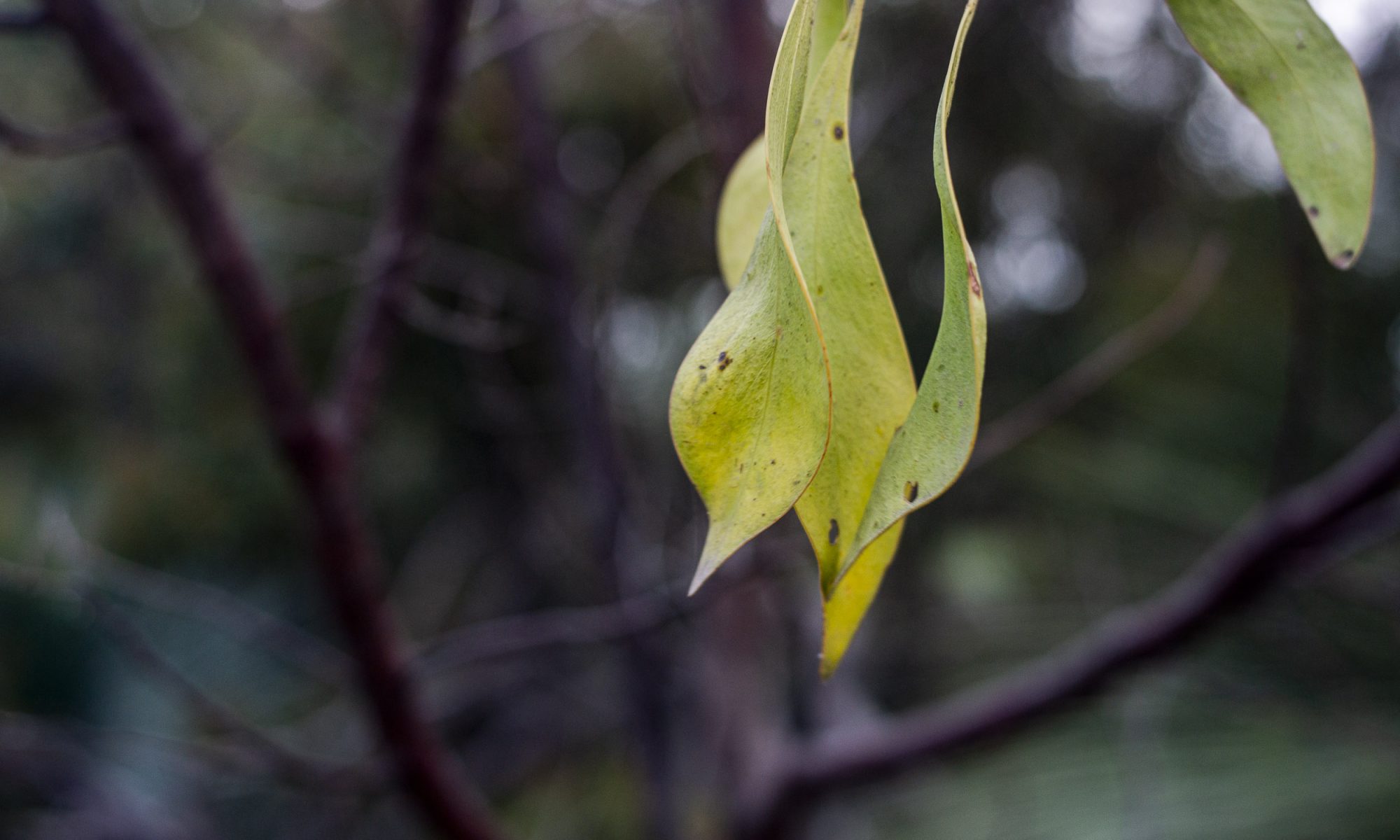
The modest photographs on these poodlewalks in the Waitpinga bushland are little studies of ephemeral objects, such as decaying leaves on a broken branch that are about to fall to the ground and disappear:
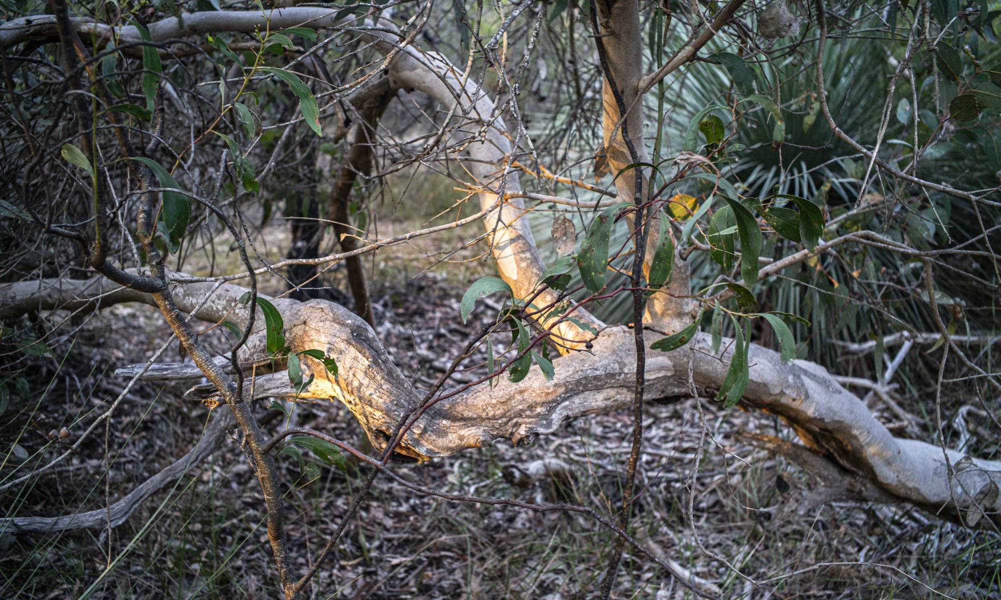
bushland study#1
The southerly winds have a big influence on the bushland, notably with the force of the wind snapping branches and uprooting the trees.
This is a construction of my daily morning poodlewalk in the local Waitpinga bushland with Maya, in South Australia’s windy, southern Fleurieu Peninsula. Maya is our standard poodle and is just over a year old. The bushland, which is in Ngarrindjeri country, is paddock size; and it was probably saved from becoming grazing land through Landcare in the late twentieth century.
The construction aims to show that photography is more than the photograph, or the object represented as an image or an artwork . It aims to highlight photography as a bodily activity, experiential process or performance. Walking art presupposes an aesthetics of embodiment — a sentient lived body, rather than just a physical body. Bringing aesthetics closer to the realm of everyday life and practice means bringing the body more centrally into focus. Our sensory perception depends on how the body feels or functions and what it desires, does and suffers.
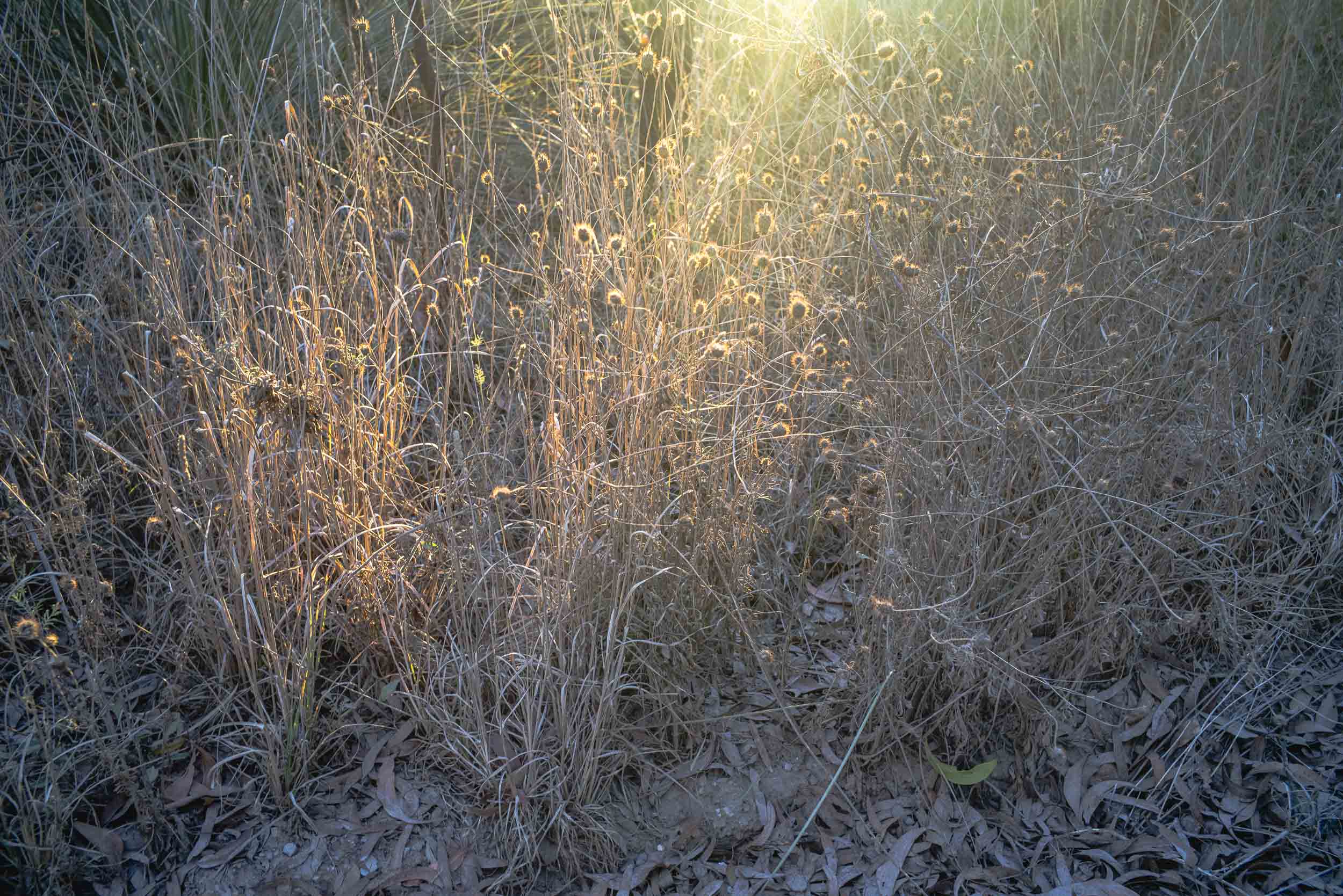
The walk begins after I’ve parked the car at the Waitpinga Rd end of the unsealed Depledge Rd shortly after first light. We walk along Depledge Rd prior to sunrise judging the length of the walk so that we enter the messy and chaotic bushland just on sunrise. So it is a low light situation photographically speaking in a windy location.
Maya
We start walking by making our way to, then along, some of the trails through the bush that have been made by the kangaroos:
The walking is a haphazard wandering as I keep a photographic eye out for what is changing, ephemeral, momentary or simple. This approach to photography is underpinned by Japanese aesthetics that understands reality as constant change (impermanence or mujo); thatthe world of flux that presents itself to our senses is the only reality; and that we live in the present moment.
light
Being in the present moment is crucial because the early morning light that starts to shine through the trees (pink gums and grass trees) is fleeting, and it is constantly shifting as the sun rises through the trees.
I mentioned in this Rhizomes post that my still photography that is made whilst walking with the standard poodles in the local bushland has been in the process of changing. It had been changing from photography as a way of objectifying and distancing us from the world towards an understanding that the practice of photography is similar to the practice of meditation. Similar in the sense of paying mindful attention to whatever is occurring in the moment.
This is akin to the immersive processes that Walter Benjamin and Theodore Adorno called mimesis — – a basic open comportment to the world. Adorno held that a mimetic capacity is spontaneous, pre-reflective, non-conceptual and rational and that it is the moment of the elective affinity between knower and known. We have become oblivious of our immersive mimetic capacity in modernity since in Western history, mimesis has been transformed by Enlightenment science from a dominant presence into a distorted, repressed, and hidden force. In modernity art is a refuge for mimetic comportment.
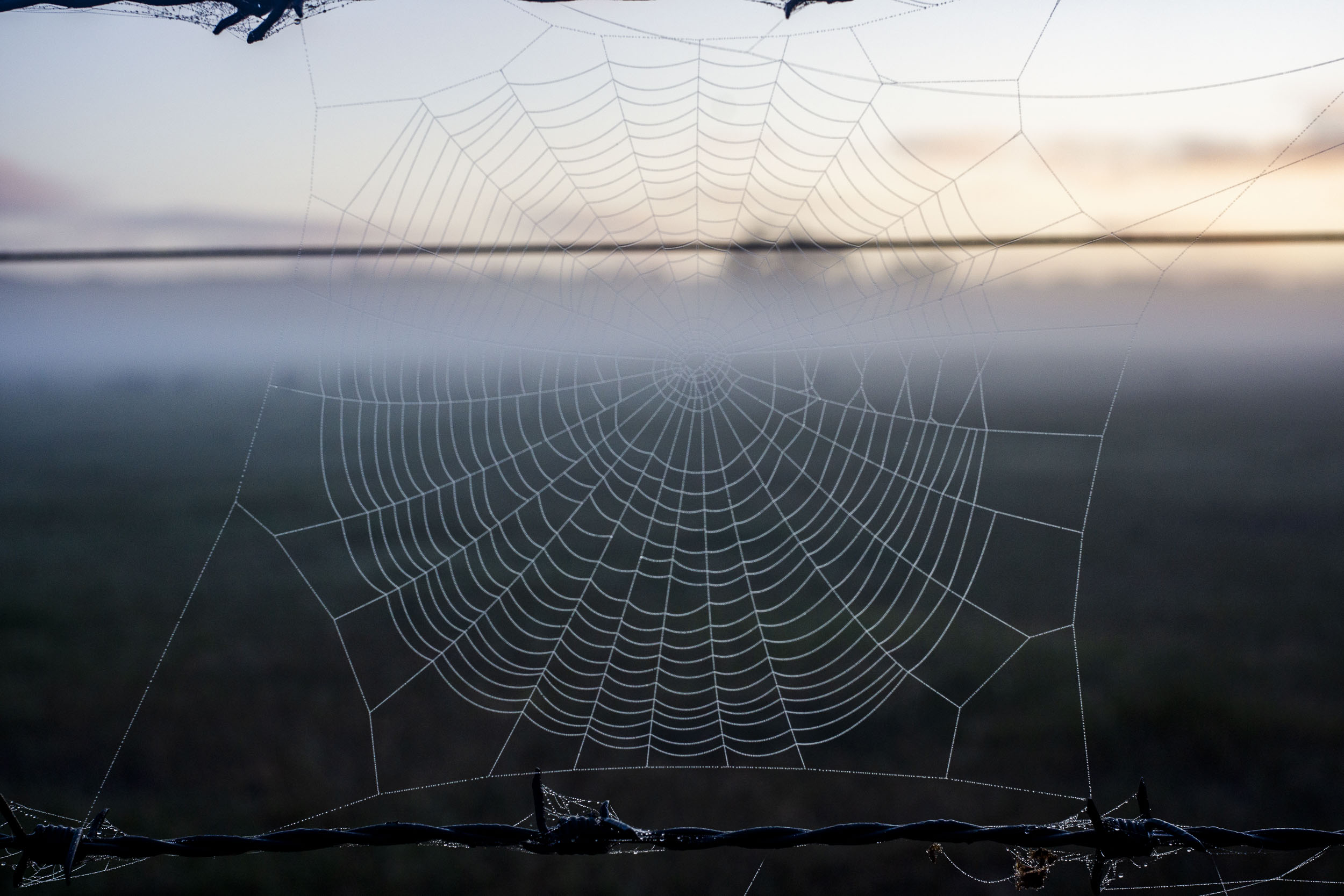
Initially mimesis as mediative seeing means that the automatic habitual view of the familiar world of an agricultural landscape that I am walking through in the early morning is replaced by being in a space with a keen sense of the unprecedented and unrepeatable configuration of each moment. In the photo below the particular moment of being in the world was a momentary one. The sun suddenly appeared in the background and the mist quickly evaporated.
This embodied clear seeing of a walking photography practice is less a form of contemplative state of mind and more of an empty one coupled to bodily awareness. It is a spontaneous intuitive seeing that is pre-conceptual. Embodied because the intuitive seeing is initially more felt and spontaneous than reflective ie., evaluating and judging the view around me for the sake of making a more considered composition.
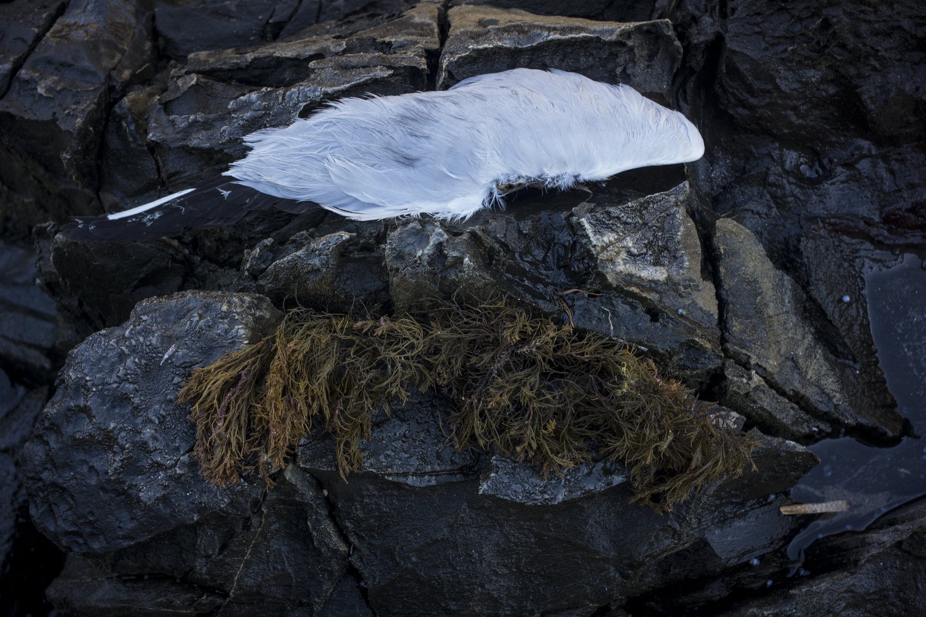
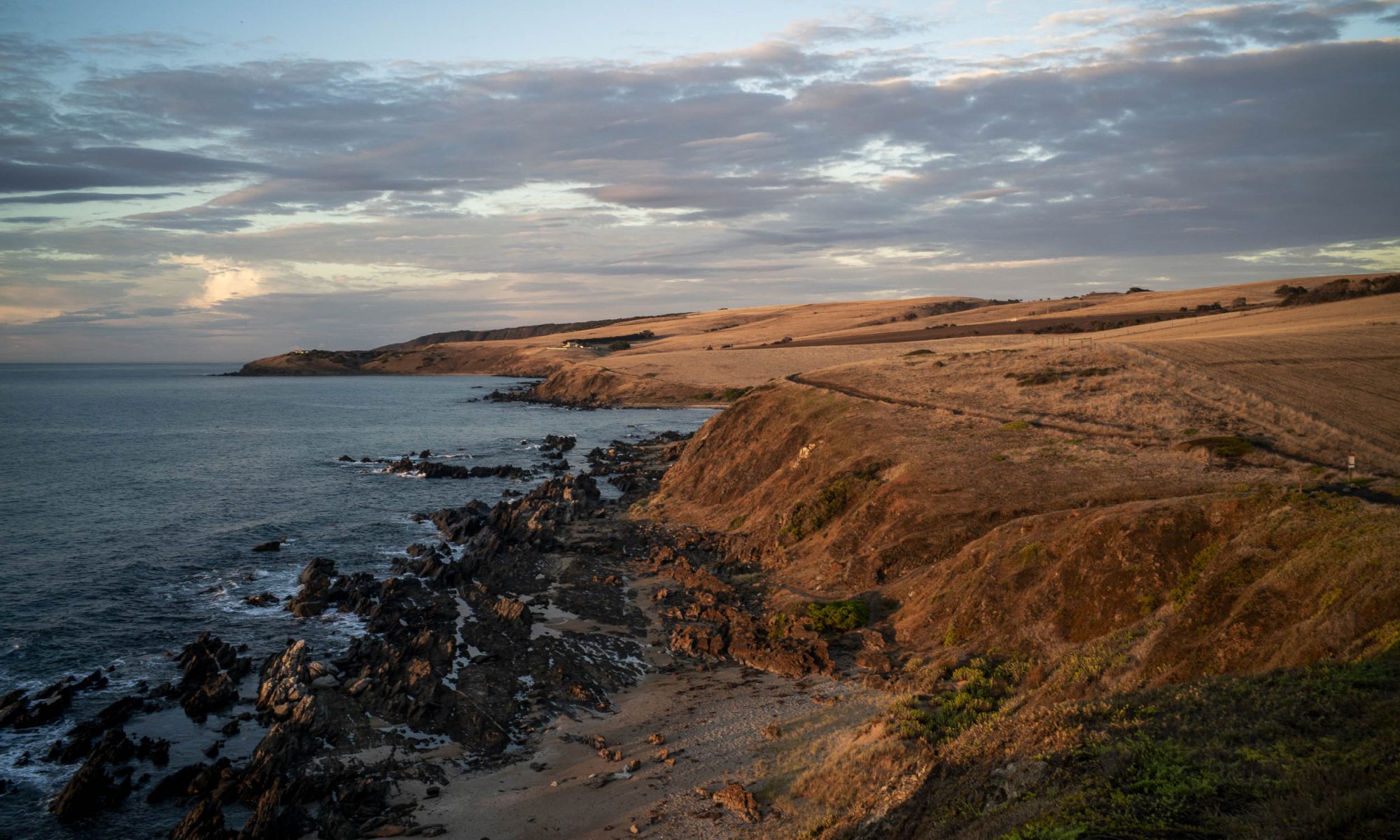
The development pressure on the coastline around Rosetta Head continues and it takes the form of marinas, cruise ships and building tourist accommodation on agricultural land. As expected these forms of development give rise to political tension and conflict between economic development, heritage and environmental protection. These are currently managed within a single planning rule book in which the policies reflect and align with the Government’s state planning policies that set out a framework for land use in South Australia.
Below is the text of the oral presentation that I gave to the Council Assessment Panel (CAP) of the Victor Harbor Council’s on Tuesday 9th May about the tourist development at Lot 2 Jagger Rd. The meeting’s agenda is here. Lot 2 is just west of Petrel Cove and it is the first paddock in the photo below. The other photos in this post are of the coastal rocks below Lot 2.
We were allowed 5 minutes to speak on the basis of our original written submissions and it was expected that new material would be presented, rather than just rehashing the written submission which had already been read by the expert panel members. I spoke to this text.
——-
Thankyou for providing me with a space to speak to the Tirroki development application in the context of the SA Planning and Design Code. This is the cornerstone of South Australia’s current planning system and it ‘s structure provides us with a way to judge developments within specific public criteria.
The Tirroki development consists of 5 well designed self-contained accommodation units, service building and associated infrastructure. Max Pritchard’s architecture is good tourist design and it will enhance the built environment at Encounter Bay, some of which is second rate and shoddily built.
I will make two points with respect to this tourist development in a rural zone with its 11 overlays.
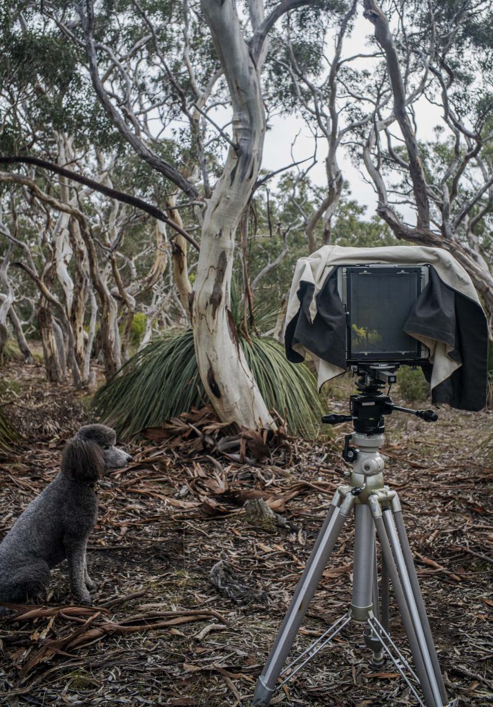
A recent afternoon poodlewalk in the local Waitpinga bushland in the southern Fleurieu Peninsula incorporated an 8×10 photo session. This session was a response to a disappointing one in the Spring Mount Conservation Park the previous day. Then I never even took the 8×10 out of the Forester. I had been hoping for misty conditions when I was driving there, only to encounter light rain when I was walking around.
Maleko + 8×10 Cambo, Waitpinga
It is more accurate to say that on the Waitpinga poodlewalk the photo session was first and the poodlewalk with Maleko came afterwards. I carried the camera equipment to the site, made the photo, returned the equipment to the Forester, then Maleko and I went on a walk through the bushland.
My days during the first week of October have been spent in front of my old iMac computer struggling to get The Bowden Archives and Industrial Modemity into shape as a book project. The roots of the project are in an unfinished MA (in images and dissertation) at Flinders University in the 1980s. Unfinished because I’d put it and the photography to one side to do a PhD in philosophy.
The title of the proposed book has been recently changed in response to criticism that the original title The Bowden Archives and Other Marginalia was very misleading because it down played the non-Bowden sections.
I have been working on, and reworking, the No Longer, Not Yet text for the Roadtrips photo gallery, as this text has been causing me a lot of grief. I have only managed to produce a rough draft so far. Finally, this draft text does connect with the reset of the book, and at this stage, I am happy to count the small steps as big achievements. Giant steps in fact.
So there has been very little photography done over and above what was snapped whilst on the various poodlewalks:
Dep’s Beach, Waitpinga
Sometimes, on these walks, there were photo possibilities, other times there was nothing. It was pretty much hit and miss. Some days I don’t even bother taking the camera out of the car as I wanted to get the walk over quickly because I felt compelled to get back to the computer to keep working on the text. It’s like returning to being in PhD mode.
An added dimension to the poodlewalks is that I am starting to train for the 14 day camel trek in late in May 2021 from Blinman to Lake Frome. This forthcoming camel trek is part of this project.
So I have started to walk to and over Rosetta Head, run up the steps twice at Petrel Cove, and increase the poodlewalks to 90 minutes. I’ve started doing the Rosetta Head route with Kayla on Sunday mornings when Suzanne is walking on her loop route. I really need to increase my cardio and to toughen up my feet.
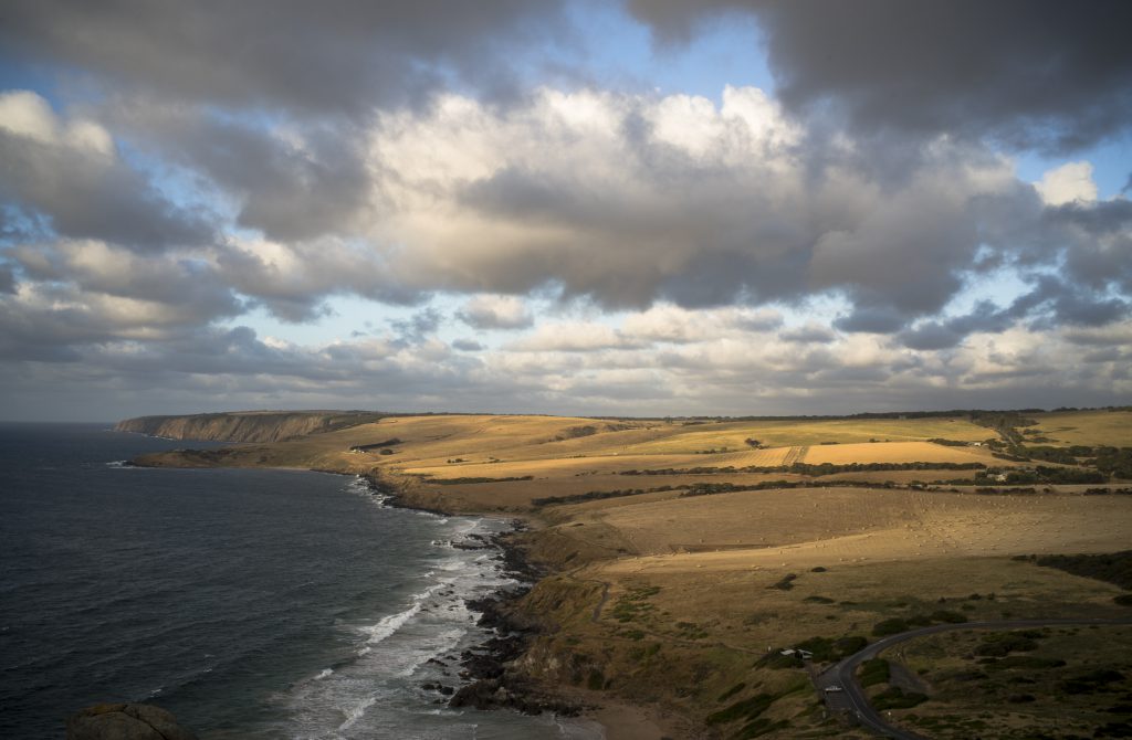
look west from Rosetta Head
Building up my strength and cardio is going to be long and slow as, unlike Suzanne, I am currently not going to the gym. My exercise levels and muscle strength have dropped unfortunately. These need to be substantially increased.
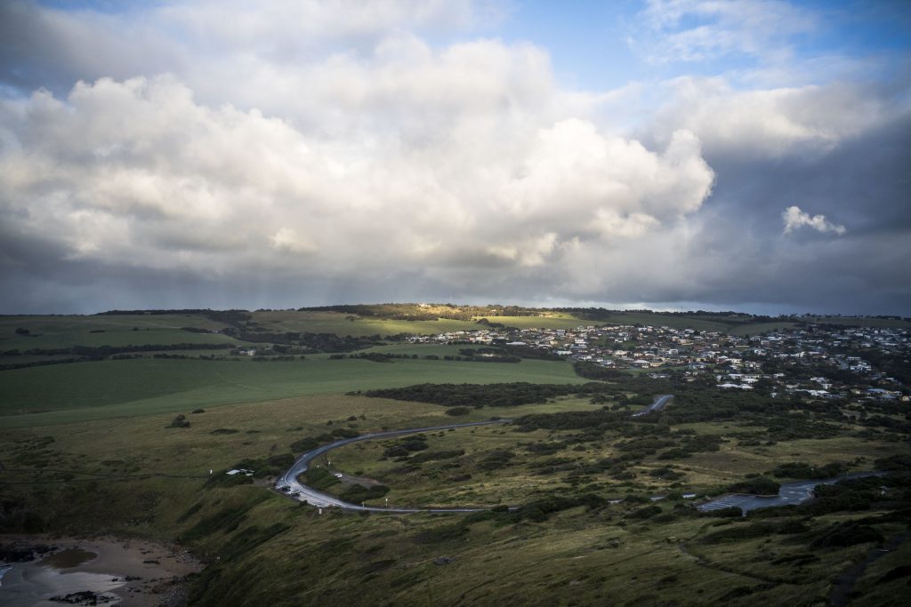
On Sunday mornings Suzanne changes her walking route. Instead of walking to and over Rosetta Head, she and Maleko do a loop walk: from Solway Crescent to Kings Beach Rd, along the coastal path or Heritage Trail to Petrel Cove, then back to Solway Crescent.
If the weather is cloudy or overcast on Sunday morning I take a break from my early morning walk with Kayla in the local bushland, or along Esplanade Beach, to walk up and over Rosetta Head.
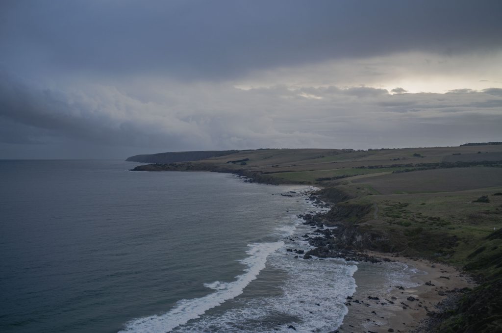
On these occasions I often use the Sunday morning walk to Rosetta Head to make cloud studies and seascapes, though this is scoping is in a very exploratory sense. Rosetta Head provides a good vantage point for this kind of photography, but the actual scene that l do photograph depends on the type of light as well as the clouds.
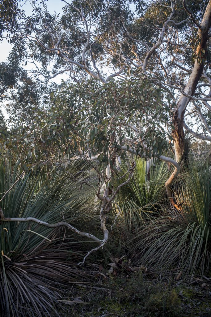
As part of building up some supplementary images as a background for the forthcoming online walking/photography exhibition at Encounters Gallery I have been photographing in a small patch of bushland in Waitpinga. I needed a contrast to the Littoral Zone images.
bushland, Depledge Rd, Waitpinga
The roadside vegetation that I see whilst walking the back country roads is limited in terms of photographic subject matter. So I have been wandering and exploring this bushland on both the early morning with Kayla and at the late afternoon poodlewalks with Maleko.