
The development pressure on the coastline around Rosetta Head continues and it takes the form of marinas, cruise ships and building tourist accommodation on agricultural land. As expected these forms of development give rise to political tension and conflict between economic development, heritage and environmental protection. These are currently managed within a single planning rule book in which the policies reflect and align with the Government’s state planning policies that set out a framework for land use in South Australia.
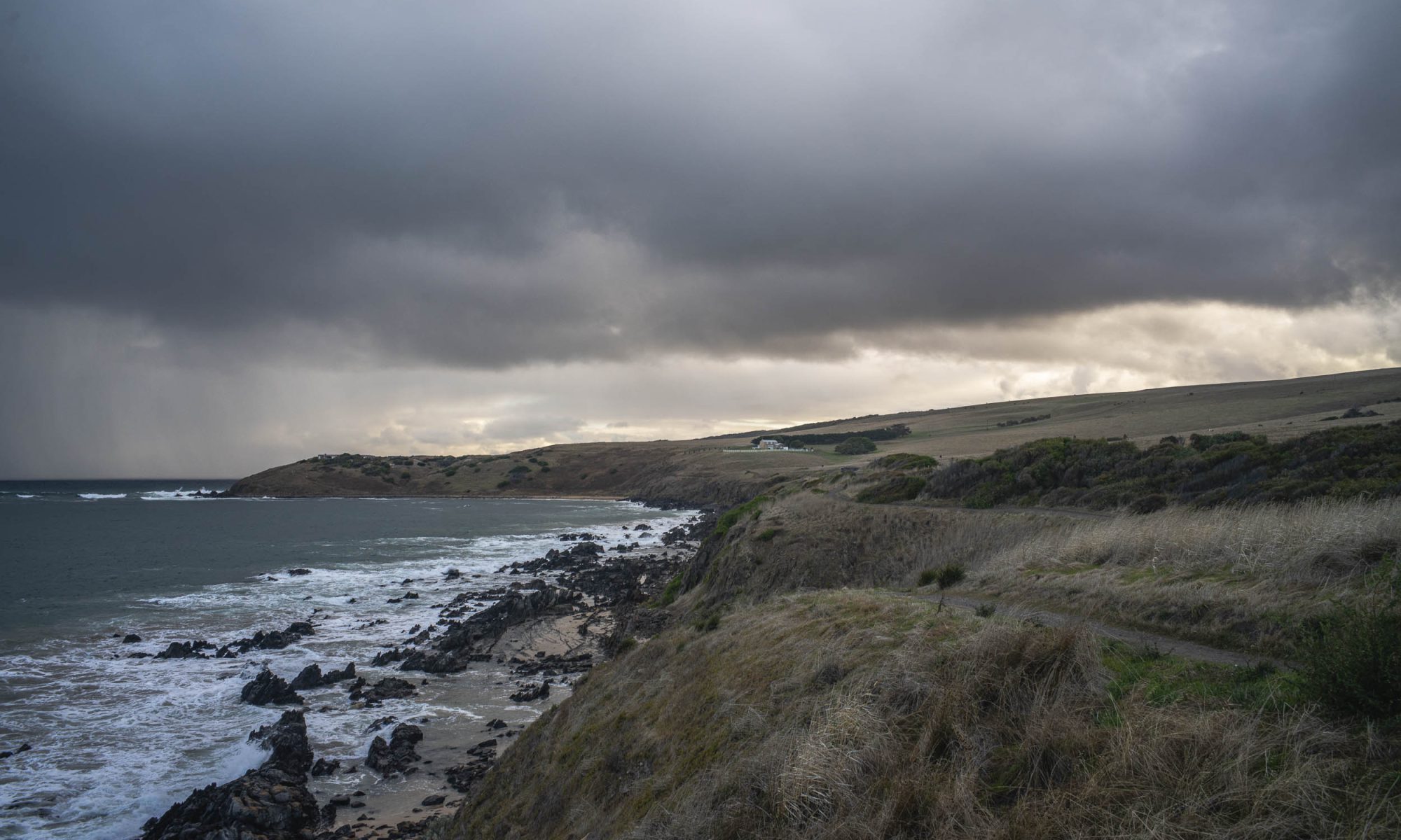
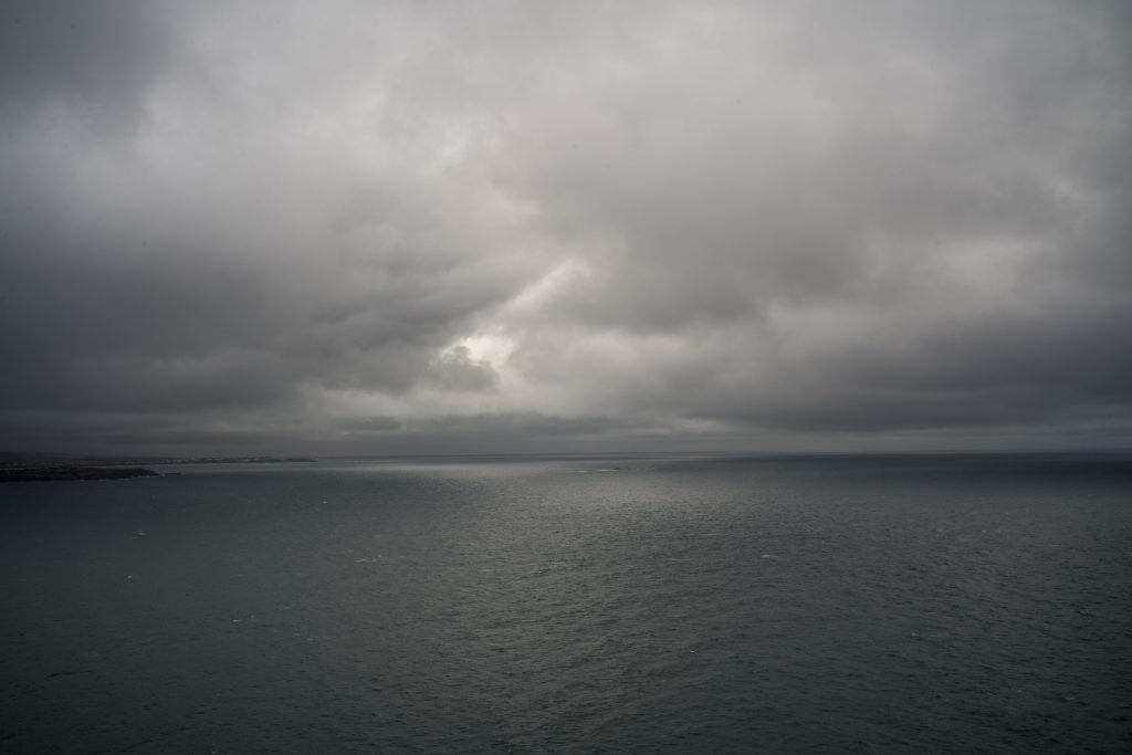
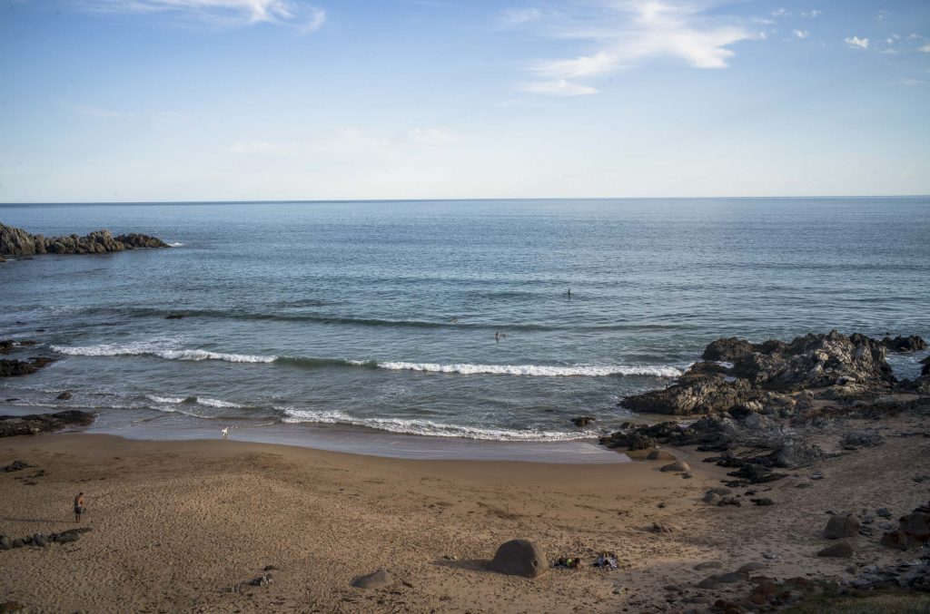
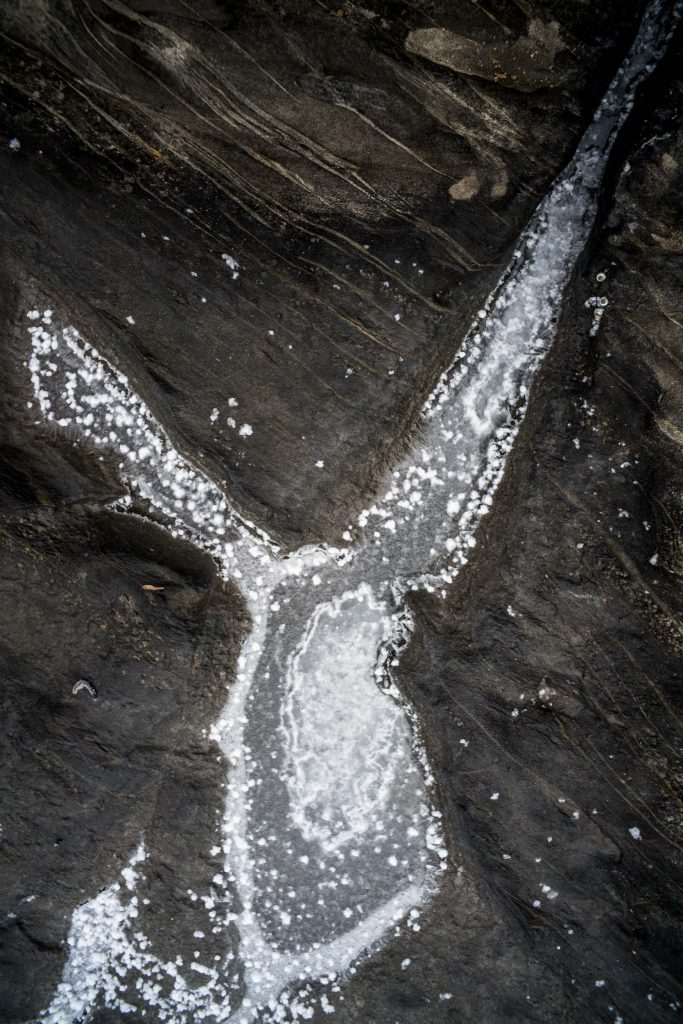
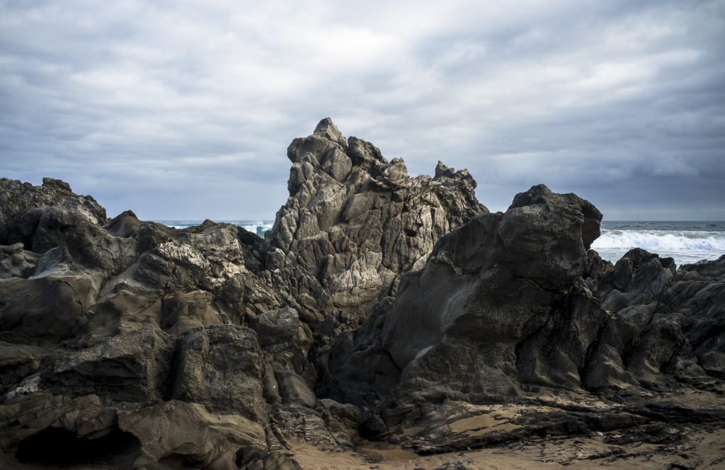
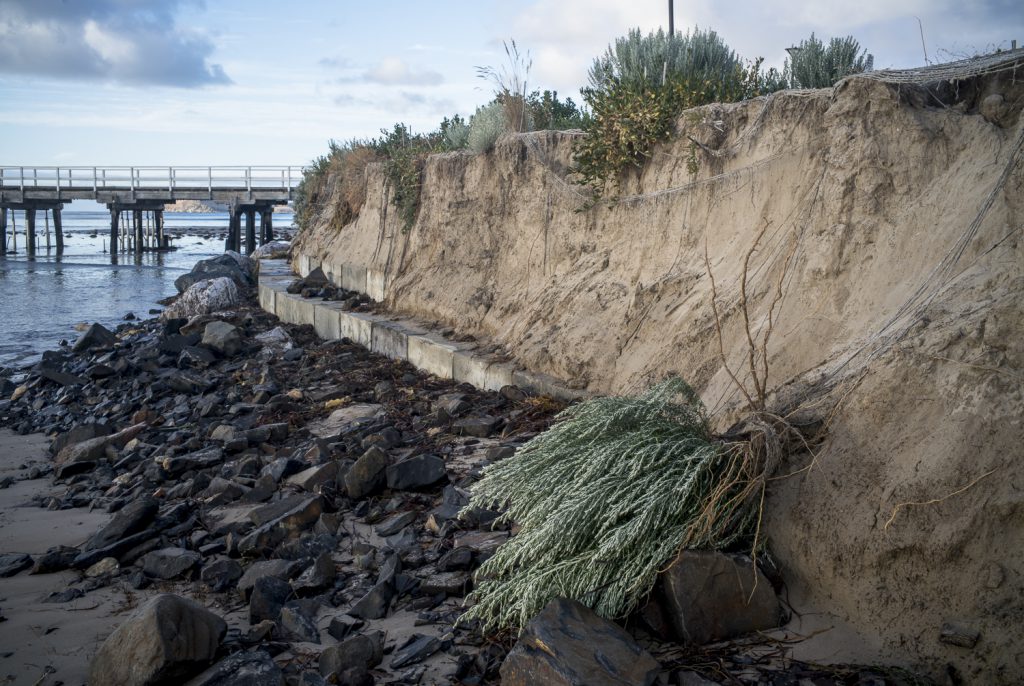
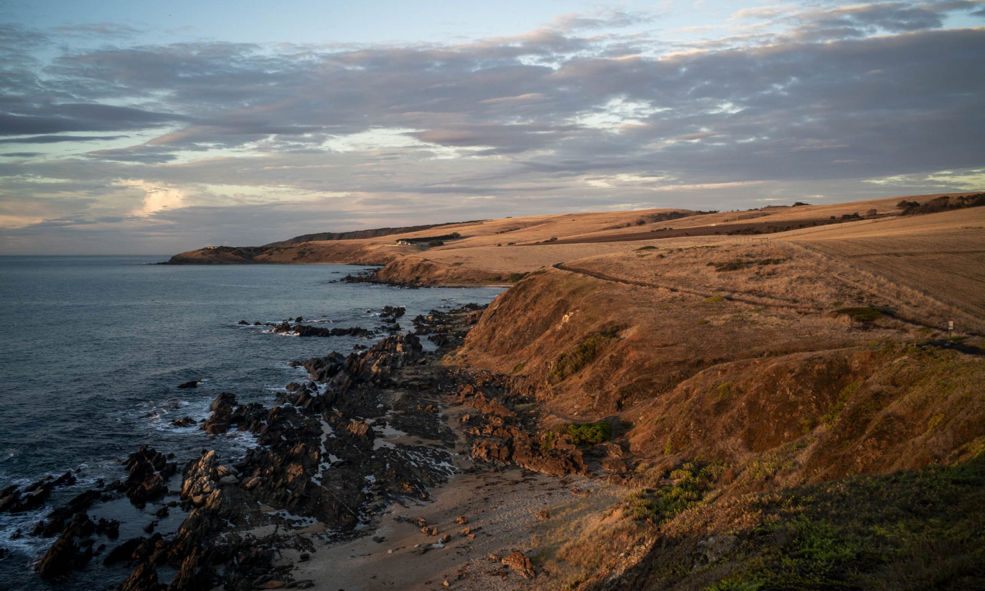
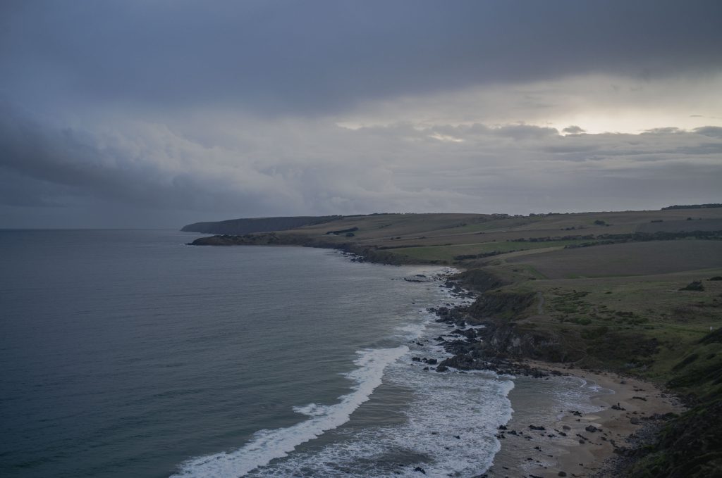
Below is the text of the oral presentation that I gave to the Council Assessment Panel (CAP) of the Victor Harbor Council’s on Tuesday 9th May about the tourist development at Lot 2 Jagger Rd. The meeting’s agenda is here. Lot 2 is just west of Petrel Cove and it is the first paddock in the photo below. The other photos in this post are of the coastal rocks below Lot 2.
We were allowed 5 minutes to speak on the basis of our original written submissions and it was expected that new material would be presented, rather than just rehashing the written submission which had already been read by the expert panel members. I spoke to this text.
——-
Thankyou for providing me with a space to speak to the Tirroki development application in the context of the SA Planning and Design Code. This is the cornerstone of South Australia’s current planning system and it ‘s structure provides us with a way to judge developments within specific public criteria.
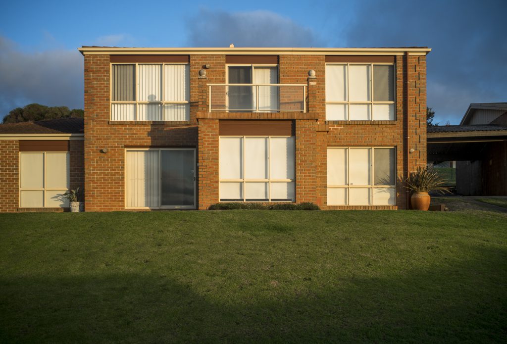
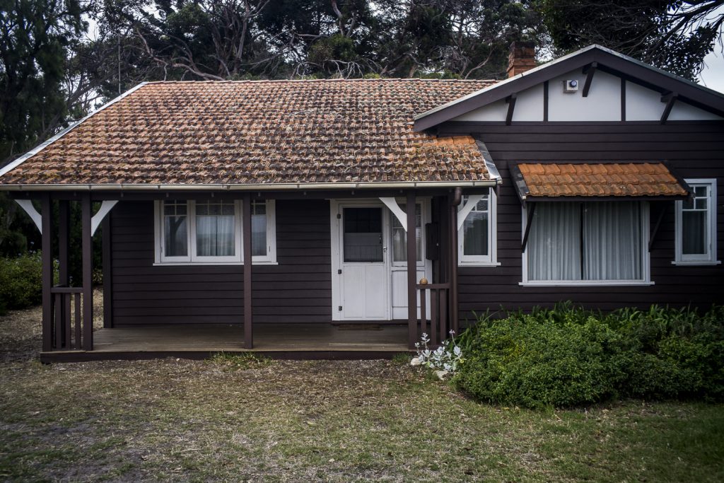
The Tirroki development consists of 5 well designed self-contained accommodation units, service building and associated infrastructure. Max Pritchard’s architecture is good tourist design and it will enhance the built environment at Encounter Bay, some of which is second rate and shoddily built.
I will make two points with respect to this tourist development in a rural zone with its 11 overlays.