to walk the Heritage Trail

And so it was on  one fine summer morning that Kayla and I set out just after sunrise  to walk along the Heritage Trail to Dep’s Beach and beyond. The sun was popping  in and out of the  morning cloud cover, the coastal wind was still light, and the Nankeen  kestrels  were keeping us company.

swirling sea

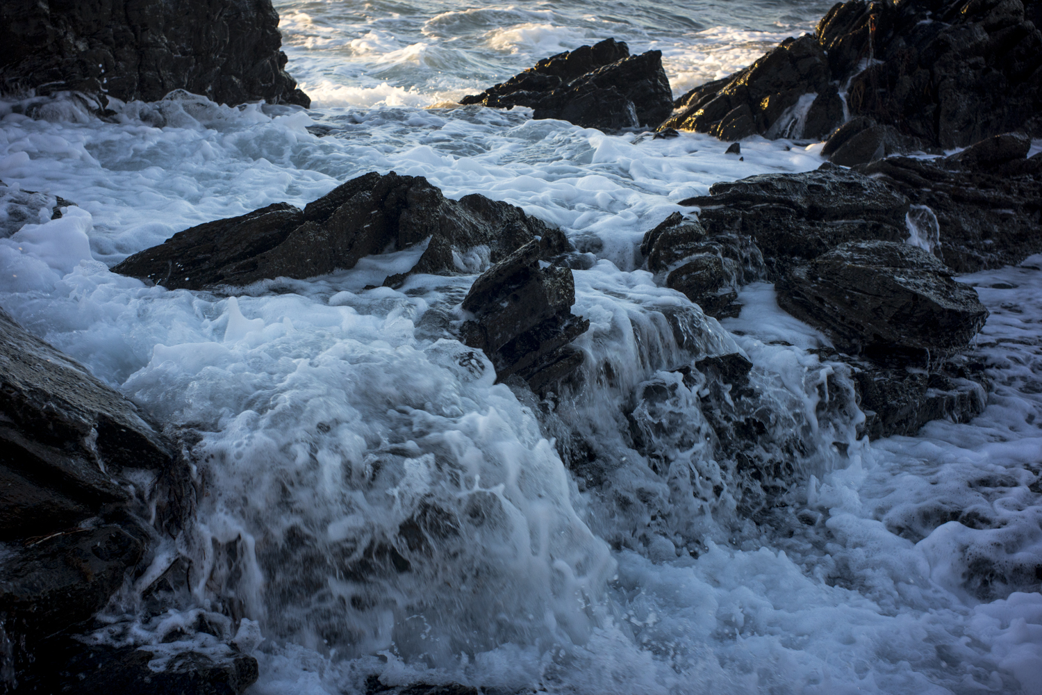
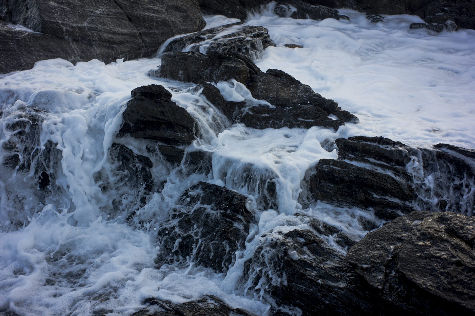
We past the spot of  the swirling seas  and we made it  to the western  end  of Dep’s Beach without encountering any kangaroos,  runners, photographers or trail bike riders.

I had a photoshoot planned of  the rocks lying west of the beach–I envisioned a picture of the  granite rocks with soft morning light playing across their surface  with  a bit of cloud above them.   Continue reading “to walk the Heritage Trail”

Yulte Conservation Park

Suzanne took us to a section of the Heysen Trail that she’d walked through. The poodles were left in the car as the section of the Heysen Trail that we walked along was Yulte Conservation Park and no dogs are allowed. Suzanne had found this section of of the Heysen Trail attractive compared to the open paddocks of the farming country.

Yulte Conservation Park traverses steep undulating hills south of the town of Myponga, offers panoramic views of the surrounding Myponga Valley and the Sellicks Hill Range country from the higher sections of the walk, and is alive with wildflowers and running creeks in spring.The land was drying out when we visited a few months latter. The creeks were barely running, the wild flowers had pretty much gone, and the scrubby landscape offered little in the way for photography.

The picture of this pile of bricks, for instance, was made outside Yulte Conservation Park. It was household rubbish lying next to the path into the park.

a pile of bricks
a pile of bricks

I was a bit disappointed. I had been looking for an area that I could explore photographically over a period of time. Yulte Conservation Park was not it, unfortunately. I also realised that I could not join Suzanne’s Heysen Trail walking group: they are about walking a section of the track, not stopping to take photos or waiting for the right light.

Adelaide's City South precinct

Australia is commonly seen as the one country that managed to avoid the global financial crisis (GFC) in 2007-8. But the effects of the GFC can be seen in Adelaide as you walk around the city and see the numerous holes in the ground in the CBD.

These are the traces of developments –urban renewal–that came crashing to a halt because the finance from the banks for development dried up post GFC. 6 years on and most of the CBD’s holes in the ground remain. Maybe the holes in the ground keep changing hands as they are bought and sold, plans are drawn up, approval is granted, but then fail to get off the ground because it is difficult to get the necessary finance.

VUE site
VUE site

Most of the development that is taking place is apartments with only the odd office building being constructed. In the above case in King William St in the City South precinct the proposed 28 storey development is called VUE on King William designed by Woods Bagot and developed by the Asian Pacific Group.

It is heralded as a new residential benchmark in Adelaide and it is designed to attract empty nesters planning to move into the city from the suburbs and young professionals. The finance will come if 70% of the building is sold pre-plan. So we will see what happens.

urban renewal?

Ari and I wandered around Adelaide’s Chinatown the other morning. It’s expanding and it is attracting more people to the Central Market precinct. This is one area of Adelaide that is lively and it is largely due to the Asian students.

drums, Chinatown
drums, Chinatown

It makes such a contrast to the ever-increasing empty retail shops and offices in my neighbourhood, which I find depressing. So many buildings stand empty.

Grunge

The heatwave conditions have passed, as has the high humidity that followed it for several days. It is now pleasant to walk the city streets of Adelaide and explore back alleyways:

Steve's Fat
Steve’s Fat

Some of the alleyways behind the Gouger St restaurant strip are really grungy.

‘a slight mistake’

A phone call from my pro-lab. There’s been a slight mistake made. We have crossed processed your colour negative film (C-41 process) as slide film (E-6 process). My heart sank. So much time and effort had gone into making those photos. I quickly went down to have a look. The negatives have an image–they’ve been exposed okay and there were no light leaks–but they look very orange.

The picture below was taken on an early morning poodlewalk. A similar one was made with the 5×4.

yellow buoy, American River

The 5×4 negatives have been given to the pro-lab’s scanning and art department to see if they can be rescued.

modern urban grunge

Ari and I wandered around the west part of Adelaide this evening. The north west wind and high temperatures had gone as the cool change had come through. The air was cool, it was overcast and the light was soft. There were lots of young people out and about: walking the streets, sitting on balconies and drinking at pavement tables outside the various pubs.

Adelaide actually felt alive–revitalized.

Franklin St development

My starting point, the idea that I had prior to the evening walk, was urban grunge in the form of the stalled development around the Precinct redevelopment of the former Balfours site on the corner Morphett and Franklin Streets in Adelaide. The high rise apartments –the Altitude–reminded me of an Eastern European housing commision site when it was being built.

I had the above in mind and I reckoned that Ari would find a way to get through the fence. He did.

coastal debris

On Tuesday I made a quick visit to Victor Harbor to install a new modem for Encounter Studio.

Ari and I managed to do an evening walk along the coastline west of Petrel Cove and east of Kings Beach; one that involved scrambling amongst the granite rocks on the foreshore and walking along a bit of a goat track on the cliff face that Ari had found. I was looking for a location at low tide to do some sea abstractions.

rusty gas bottle

I’d seen this rusty gas bottle a year or more earlier and I noticed that the rust had become more intense. I was going to walk by because the digital photo I took then was pretty ordinary and bland.

picking up the pieces

I’ve recovered enough from my illness to start photographing again using more than a small hand held digital camera. I feel that I’ve lost most of this year and I’ve a deep sense of being wasted. There was so much that could have been done (especially with large format) and wasn’t. The momentum has been lost. It’s like starting all over again.

This was a picture of roadside vegetation I took just before things disintegrated around me:

tree + rubbish, Victor Harbor

It’s the road to the old Victor Harbor rubbish dump and one that the poodles and I would walk along if it was too windy along the coast. I kinda liked the view towards the southern ocean through the fields as we walked down the road through farmland towards Rosetta Head.

at the Mt Lyell mine

Yesterday was overcast and windy, and as the weather was going to be consistent rain squalls for the next few days, I decided go to the old Mt Lyell open cut copper mine in Queenstown. The only way to do it was to take the morning trip with John Halton’s Enviro mine tour. It was the right decision as it rained all of today.

Mt Lyell open cut mine
Tasmania, Queenstown, Mt_Lyell, open_cut_mine, digital, Olympus, phototrip

Little did I know that John Watt Beattie, Stephen Spurling 111, Frank Hurley and Martin Walch had all extensively photographed the region, town and the mine.