
I had the great fortune to experiment with some aerial photography yesterday. I was given the opportunity to fly along part of the southern Fleurieu Peninsula coastline, courtesy of Chris Dearden in his yellow, homebuilt Sonex aircraft– a Xenos motorglider.
It was the first time that I’d had the opportunity to experiment with aerial photography and flying in a recreational aircraft was a blast.
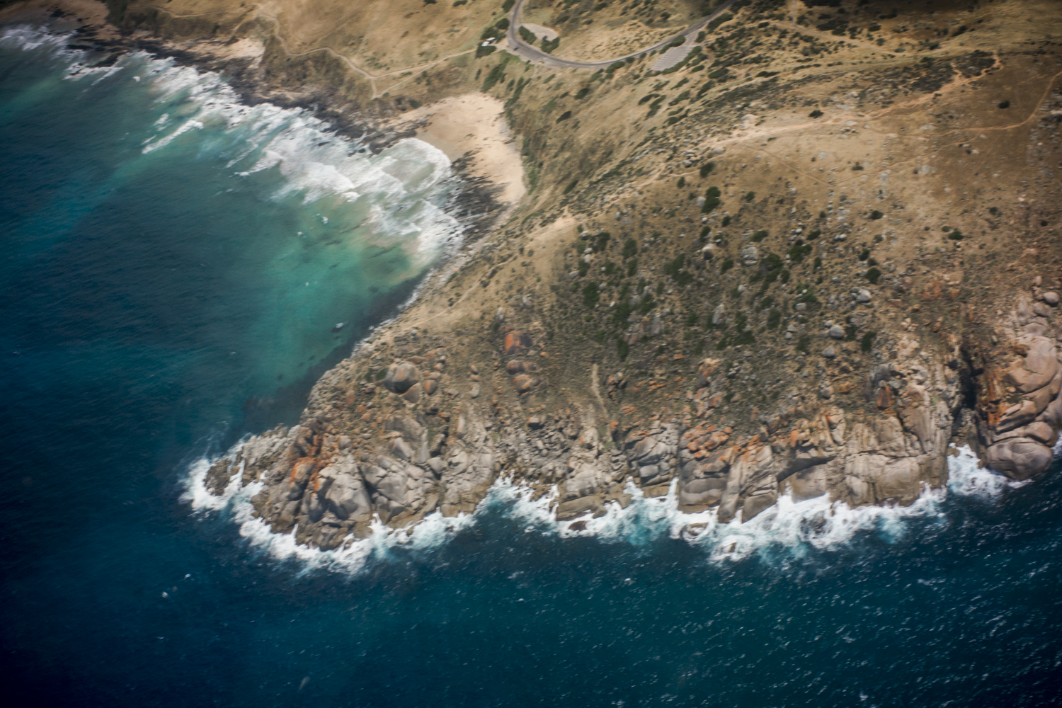
We took off from Goolwa airport and flew along the coast from the Murray Mouth near Goolwa to Newland Heads in Waitpinga, then back again. The above image is a picture of Rosetta Head, Petrel Cove and Dep’s Beach, which is where we do a lot of our coastal poodlewalks.
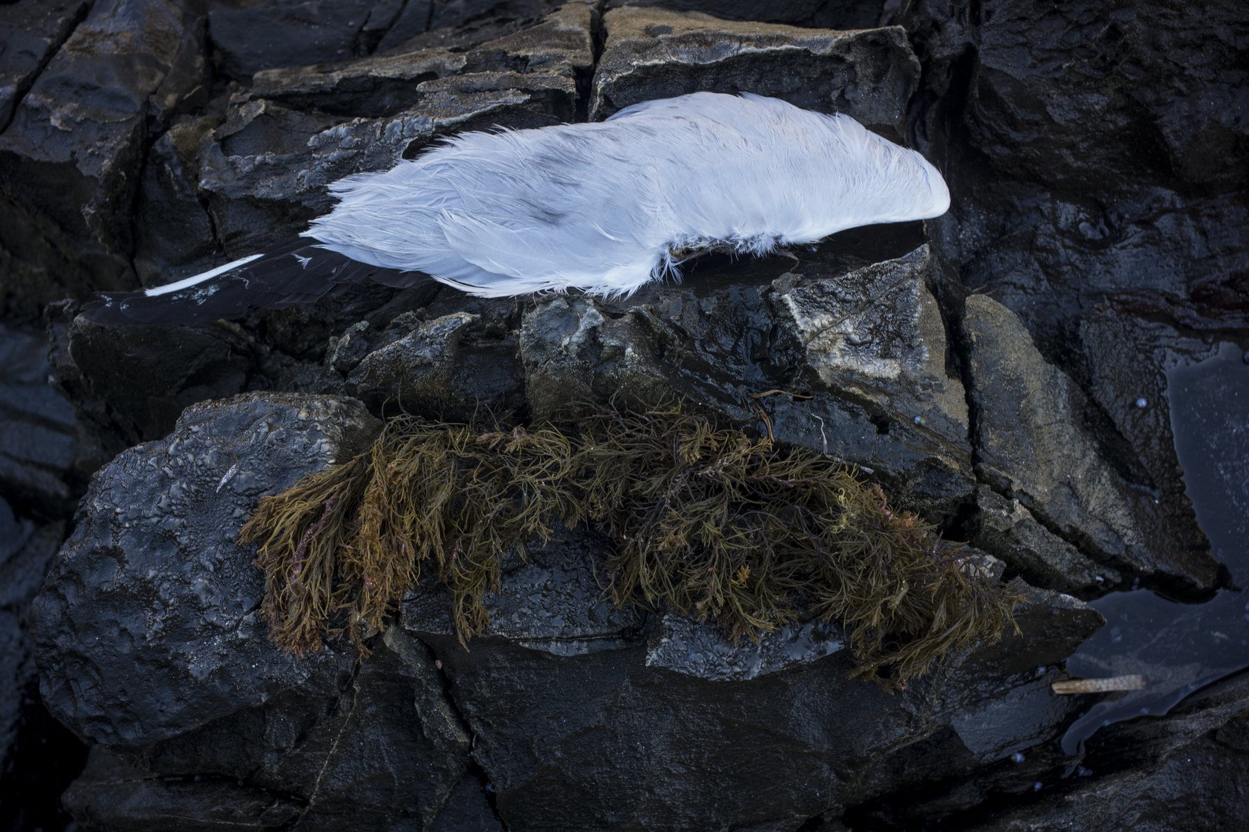
I had walked this stretch that morning with Kayla on a poodlewalk. It was still overcast, with a sou’wester wind blowing and swirling waves. We saw a couple of dolphins hunting amongst the waves close to the shore, whilst a couple of Nankeen kestrels hovered over the crops close to us.
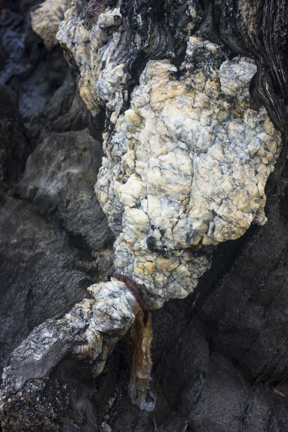
The aerial photos show the ruggedness of the granite coast, whilst walking along the coast allows you to see the colours in the detail of the granite rocks.
Great new sir Gary – and How exciting to view from the air – a whole new ball game !
Meant great new Site
Thanks Lariane. The site is starting to come together. I loved the brief time I had photographing from the air.