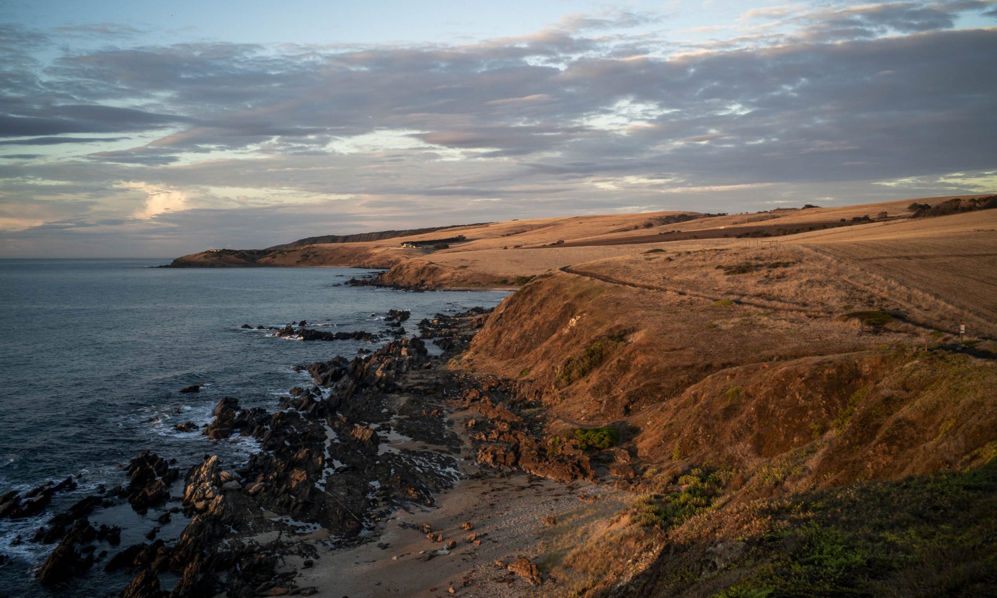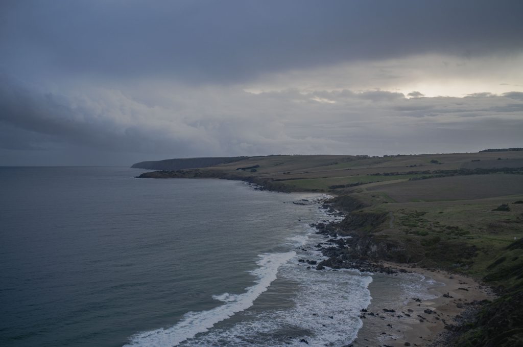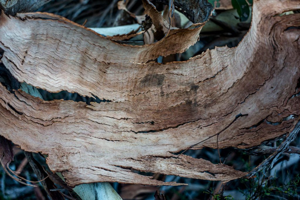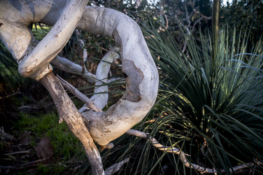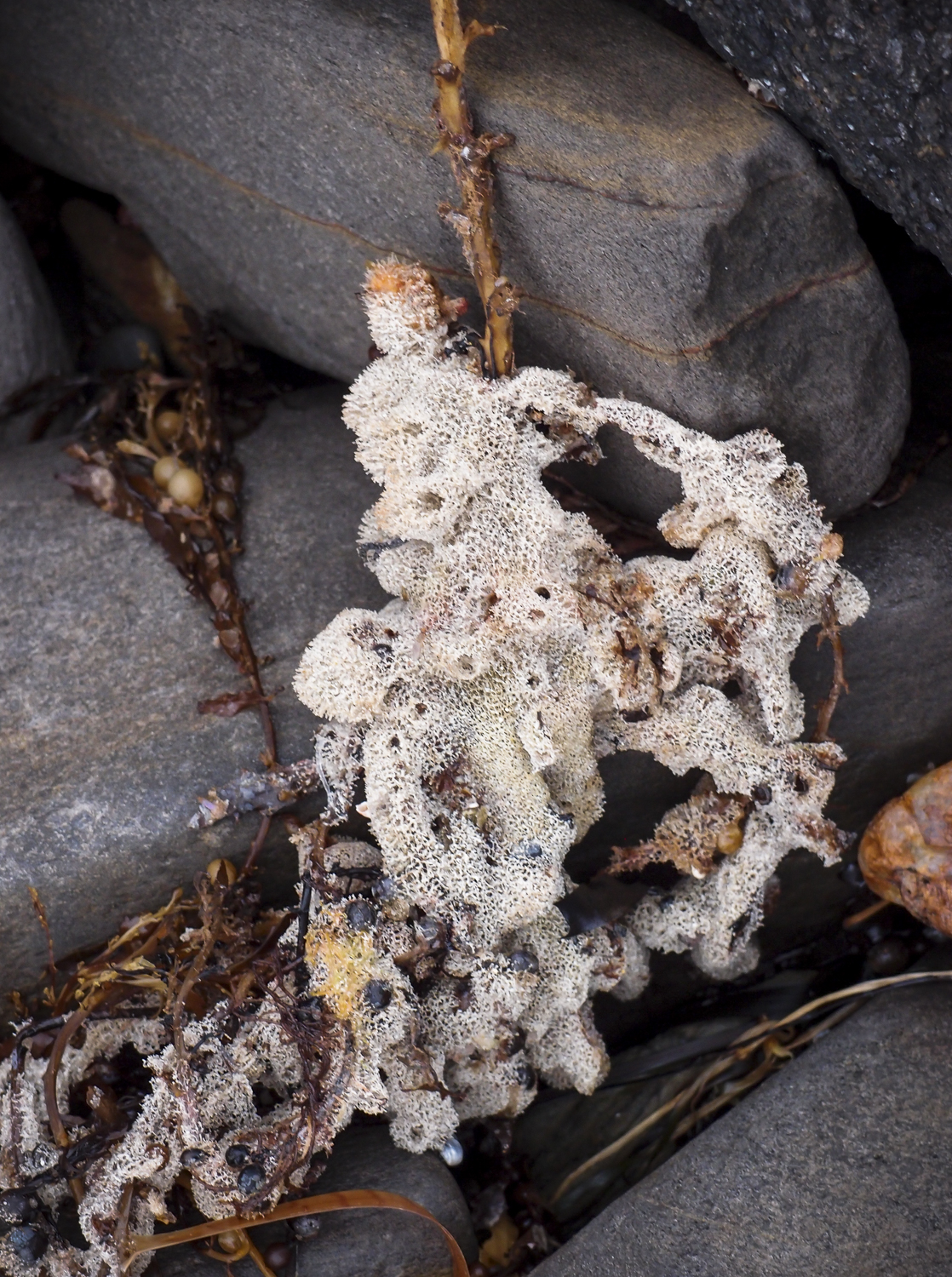

We have stayed away from walking amongst the rocks on the coast this year due to the ongoing prevalence of the toxic micro algae bloom. We (Maya and I) did walk around to Kings Head when it was pretty clear of the algae bloom on a late afternoon walk.
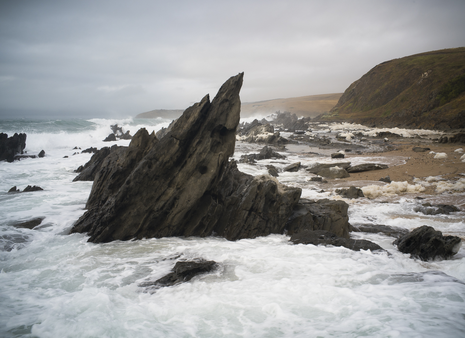
Parts of the walking track above Kings Beach had been washed away by the winter storms. Slowly, ever so slowly, the sand dunes along this part of the coast are being eroded from the storm surges and the rising sea levels. On the Franklin Parade section of the Encounter Bay coast the council is building a sea wall to protect the adjacent properties.
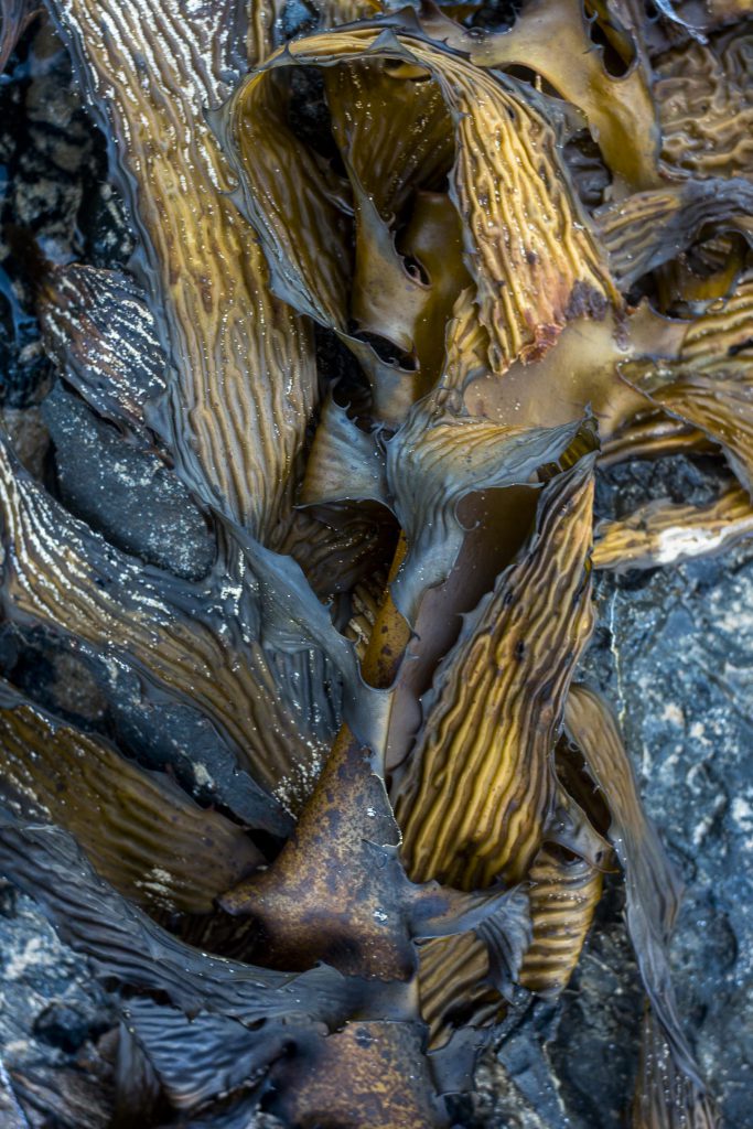
The presence of the microalgae bloom, Karenia mikimotoi, which is caused by marine heating, is ongoing. It did not dissipate over the colder winter months. As we move towards the summer months the sea temperature will start to rise and it will hang around the coast.
So far nothing can be done to dilute or dissipate the toxic bloom. So it’s going to continue to contract and expand and to persist, rather than dissipating over spring as many hoped.