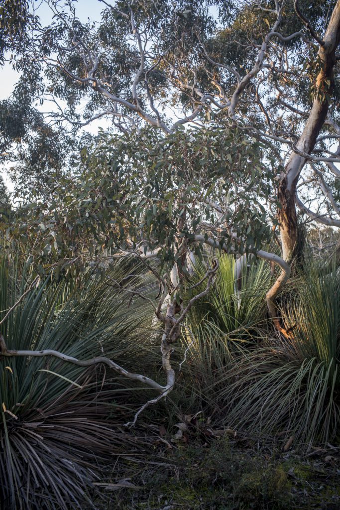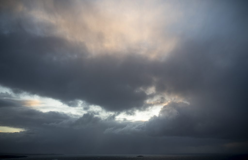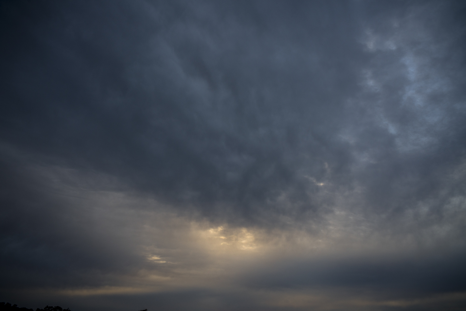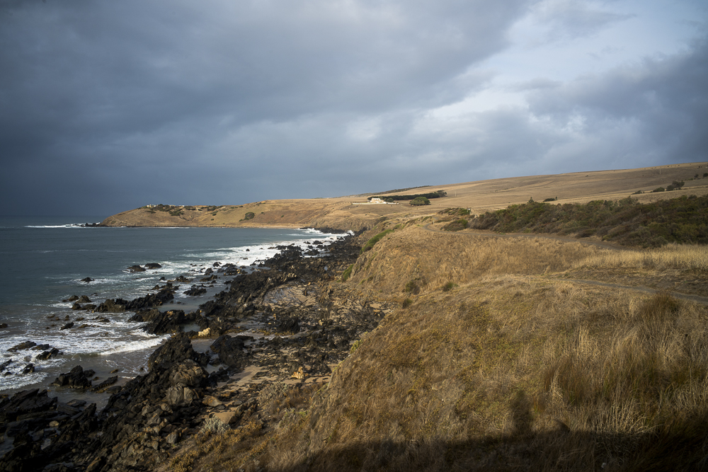

It is mid-spring. Daylight saving has started and the new concrete causeway to Granite Island is nearing completion. The Sculpture by the Sea park on the island has been dismantled by the Victor Harbor Council on the grounds that it was unpopular in the local community. The rains have stopped, the days are becoming warmer, there is less cloud around in the late afternoon, the light now is stronger and more contrasty. There have been no really hot days so far.
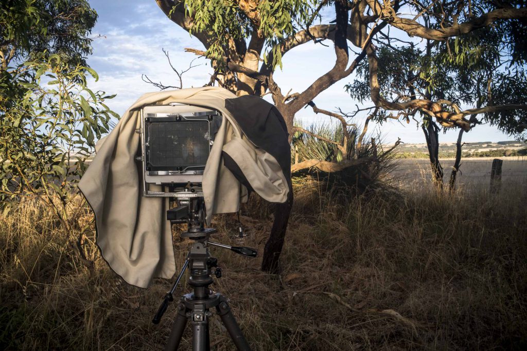
My days are more of the same: sitting in front of the iMac in the studio working on the text for The Bowden Archives and Industrial Modernity book . The Snapshot gallery and text are now looking okay, and so I have moved to concentrate working on this text for the Bowden gallery.
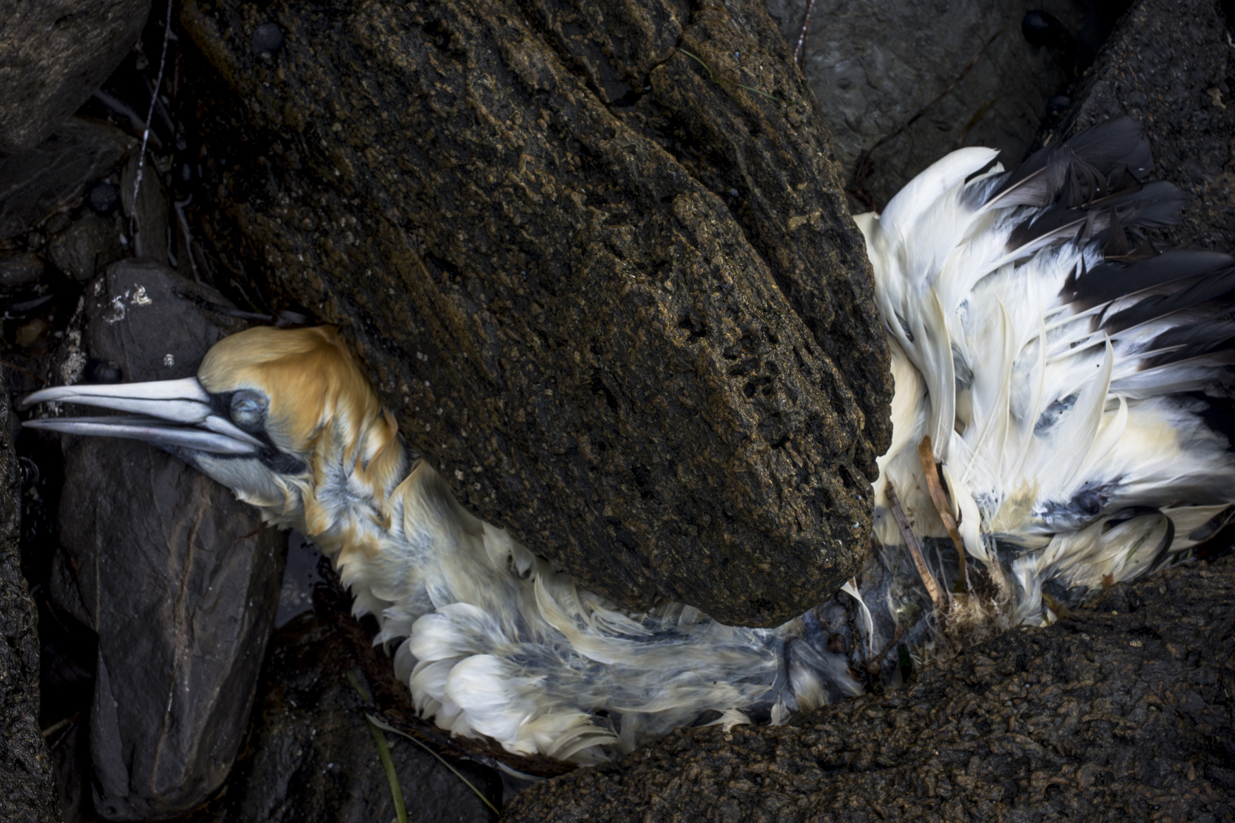
Whilst I have been wandering around the coast and the bush I have been watching this seal carcass slowly decay:
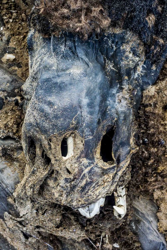
The poodles are fascinated by it–especially Maleko. They go charging ahead of me on the rocks as we head in the direction of the carcass from Kings Beach lookout. Thankfully, they do not try and eat the carcass. They just dance around it.